Page 2 of 2
Re: OAUSA Net - July 27, 2017 - Outdoor Travel and Hiking Information
Posted: Thu Jul 27, 2017 5:52 pm
by KA9WDX
Early check in please - Thanks - Bernie
Re: OAUSA Net - July 27, 2017 - Outdoor Travel and Hiking Information
Posted: Thu Jul 27, 2017 6:18 pm
by toms
A few more:
Two of the most famous trails in Southern California area documented in these next two books.
Casebier documents every 1/10th of a mile on the 146 miles of the trail with directions and history.
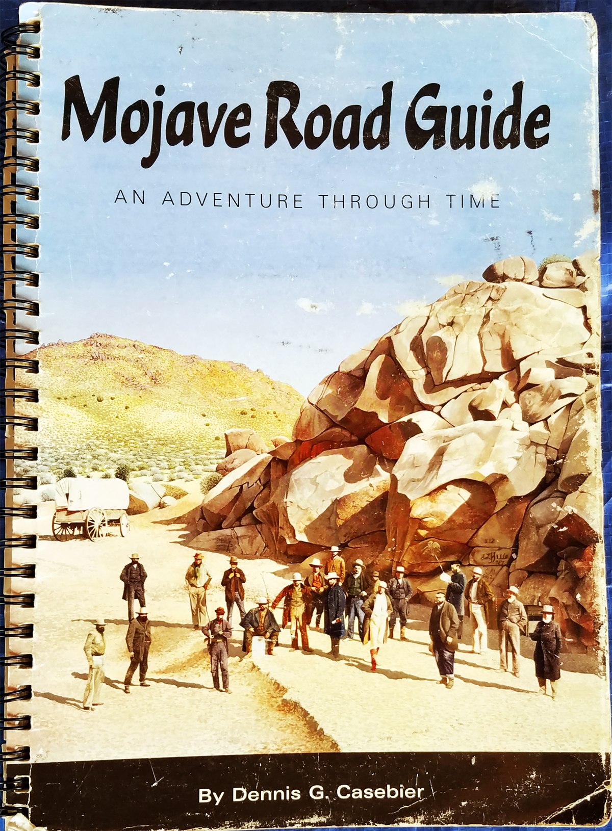
- Casebier - Mojave Road.jpg (1.64 MiB) Viewed 535 times
More southern than the Mojave Road - to the Colorado River
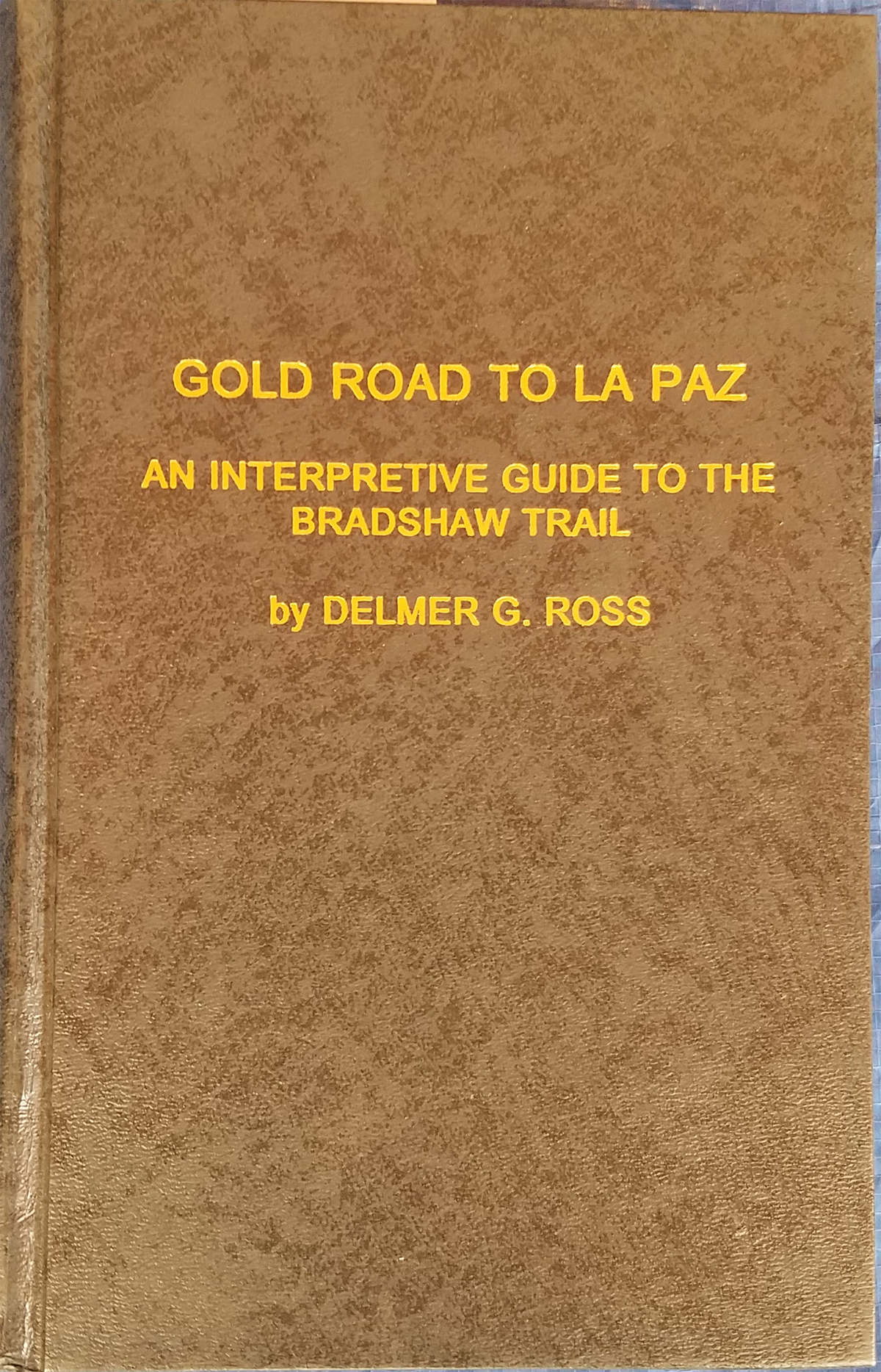
- Ross - Bradshaw Trail.jpg (1.51 MiB) Viewed 535 times
This book covers a number of trails and site in CA. Perhaps the first 100 plus page of off-road travel are the best part of the book. Lots of insights.
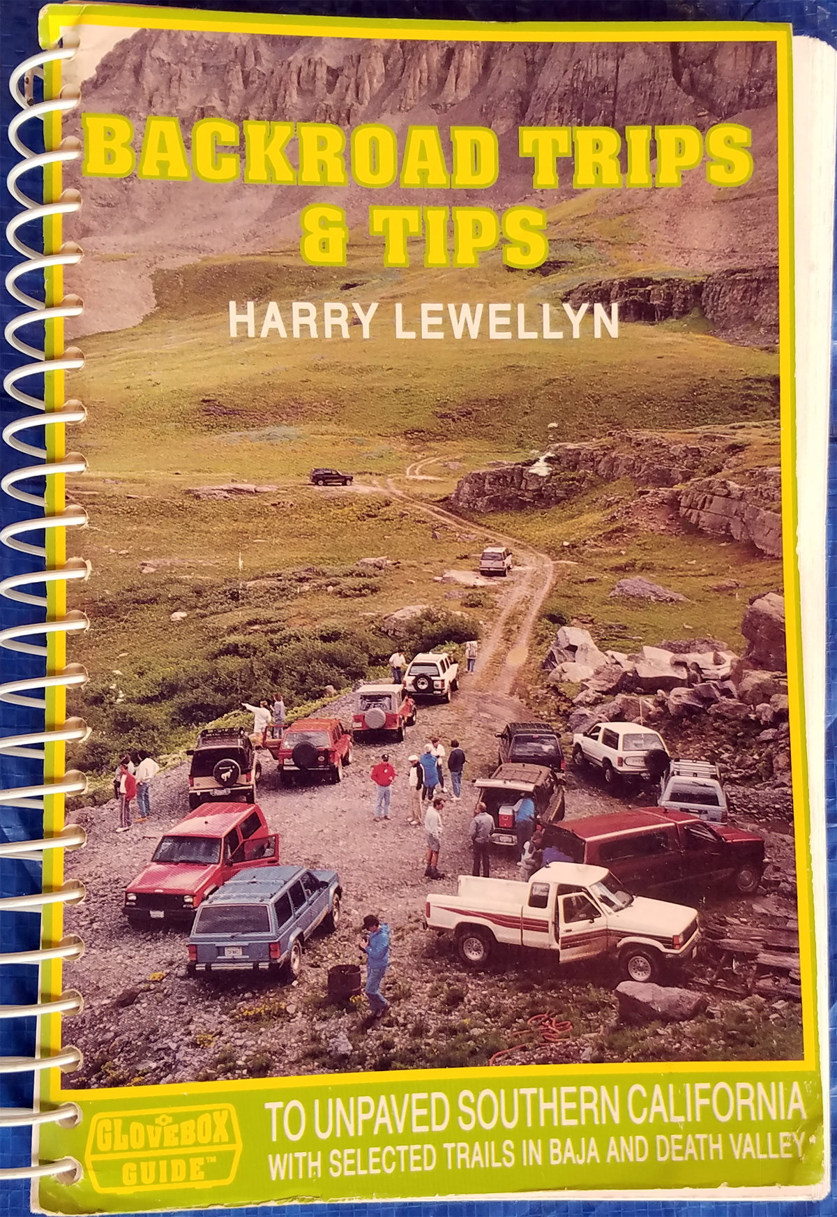
- lewellyn - So CA.jpg (1.75 MiB) Viewed 535 times
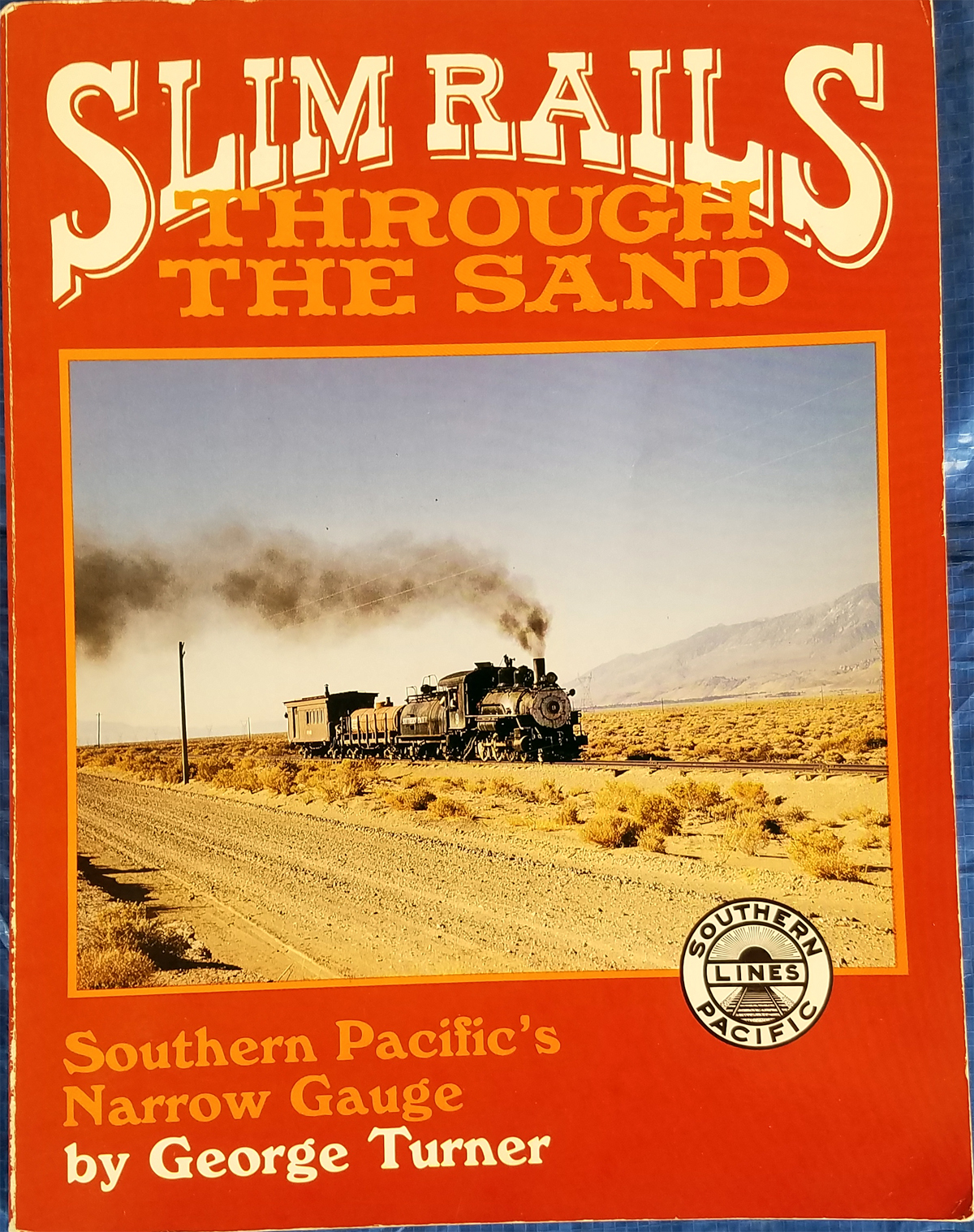
Some more Railroads -
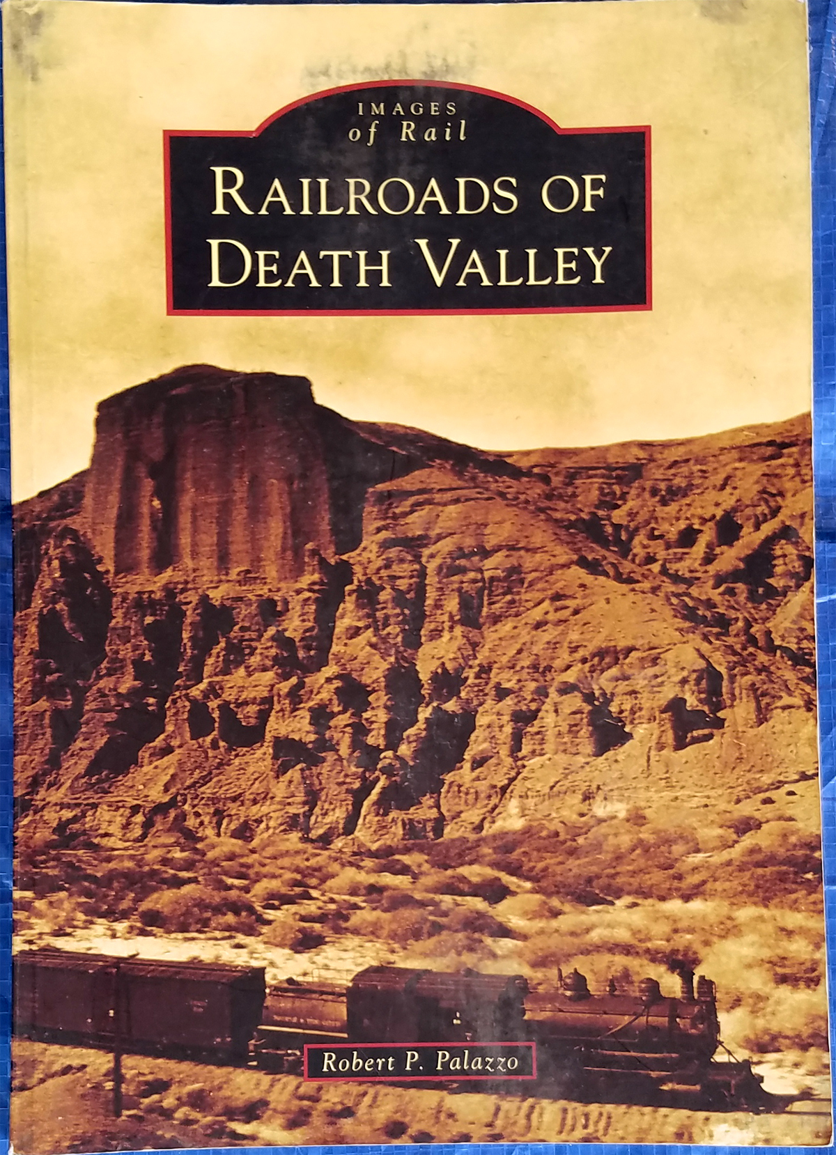
- DV Railroads.jpg (1.43 MiB) Viewed 535 times
The C&C started in NV and ended in CA. It only completed 300 miles of the intended 600 miles to the Colorado river.
- Carson & Colorado RR.jpg (1.41 MiB) Viewed 535 times
Re: OAUSA Net - July 27, 2017 - Outdoor Travel and Hiking Information
Posted: Thu Jul 27, 2017 7:03 pm
by HsuuJrt
Please give me an early check in.
James kg5pmn
Re: OAUSA Net - July 27, 2017 - Outdoor Travel and Hiking Information
Posted: Thu Jul 27, 2017 7:11 pm
by NotAMog
Please check in John, KN6VL and Bruce, KD6GCO.
Here are a couple of books I've found useful
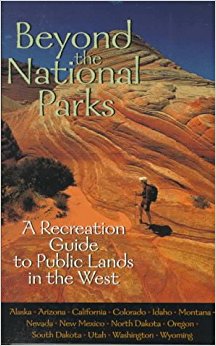
- Beyond the National Parks Cover Image.jpg (26.73 KiB) Viewed 526 times
A German couple I crossed paths with one time when I was out with the Pinzgauer turned me on to this book. They come to the U.S. every summer and travel extensive avoiding the big national parks and staying in smaller, out of the way locations. They highly recommended this book to find places that might otherwise go over looked.
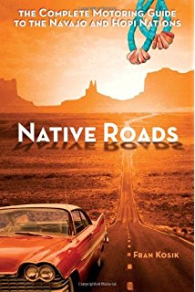
- Native Roads Cover Image.jpg (23.43 KiB) Viewed 526 times
This is another unique book I found at a book store in Moab, UT. I haven't used it much but it was useful in finding some interesting stops on a car trip I did several years ago through the 4 corners region.
Re: OAUSA Net - July 27, 2017 - Outdoor Travel and Hiking Information
Posted: Thu Jul 27, 2017 7:17 pm
by N7AJJ
Hi everyone on the net...
Please check me in early.
thank you...
Re: OAUSA Net - July 27, 2017 - Outdoor Travel and Hiking Information
Posted: Thu Jul 27, 2017 7:25 pm
by lrsrngr
KK6CTT for the online check-in please.
Government documents are not too bad for cross-reference material and maybe even containing the does and don'ts of the area. A lot of times closures will also be part of the website's function so that your trip is not in vain.
For example:
USDA Map with local area PDF forms:
https://www.fs.usda.gov/detail/sbnf/map ... rdb5156664
Drill down and check on the areas and the different road numbers which are different than regular street signs and helpful if you carry the "road codes" to decipher that along your route:
https://www.fs.usda.gov/Internet/FSE_DO ... 202570.pdf
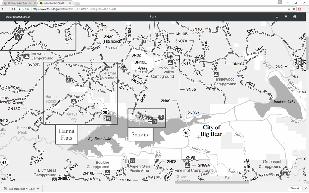
- An example of the PDF provided by the USDA.
- Big Bear PDF.jpg (396.19 KiB) Viewed 528 times
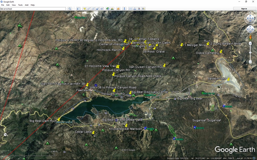
- An example of plotting for a trip using Goggle Earth.
- Big Bear Google Earth.jpg (697.4 KiB) Viewed 528 times
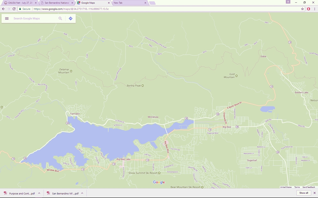
- Just for reference a shot using Google Map.
- Big Bear Google Maps.jpg (258.97 KiB) Viewed 524 times
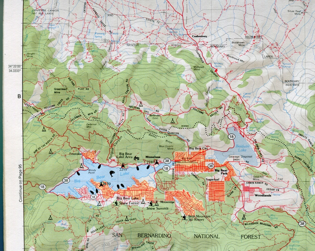
- Delorme Atlas & Gazatteer that helps keep everything in perspective for me. Another tool in the tool box of travel information that does not depend on electronics and hardware.
- Big Bear DeLorme Atlas and Gazatteer.jpg (930.38 KiB) Viewed 522 times
As you can see very different information that can be cross-referenced and potentially life saving if you need to describe in different formats when describing your information to those who see/use the terrain differently.
Don't forget that map datum and year of document is important when drilling down to an area within 1000, 100 vs. 10 square meters (4, 6, and 8 digit coordinates [UTM]) but if you have the big picture handled and talk down to the smaller area, life can be made a lot easier for everyone.
The purpose of the map as described by the USDA: