Rattlesnake Canyon & Heartbreak Ridge (Pontiac Loop)
On Sunday we met up with Willie H and Ollie in Big Bear for our run down Rattlesnake canyon and Heartbreak Ridge. I was planning to meet up at Coon Creek Camp but since the drive there took a little over an hour from our place we met up half way at one of the gas stations in town. From there it was down Hwy 18 to the 247 to reach the trail head. This remote trails passes through a non-wilderness corridor of the Bighorn Mountain Wilderness Area. The sometimes narrow, sandy, and often wet passage through Rattlesnake Canyon is susceptible to flash flood damage. Much of the route here was easy to moderate with some tight brush along sections of the trail. Although the temperature reach 100 degrees outside while running along the lower elevations, it still felt really nice out in our open air vehicle.
Rattlesnake Canyon Trail Information- http://www.rattlesnakecanyontrail.com/
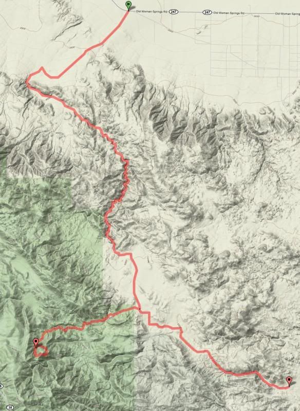
"Rattlesnake Canyon, located in San Bernardino County California, runs from Hwy 247, 18.22 miles east of the four-way stop in Lucerne Valley to Burns Canyon Rd (Just east of Forest Service Rd 2N02). At the trail head on the desert floor at Hwy 247 the elevation is 3,102 ft. above sea level. The trail gradually climbs to 5,750 ft. above sea level."
Just before we reached Burns Canyon we turned west on 2N02 to 2N61Y towards Heartbreak Ridge. This difficult part of the route includes narrow canyons, steep shelf roads, large boulders and sharp rocks. This time around, Ollie and I were able to make it through without any carnage. We stopped for lunch at the top, paid our respects at the marine memorial and explored around some of the mines. It was also nice not having to shovel snow to get through the backside of Pontiac Loop! Backtracking out along 2N02 we continued traveling down scenic Burns Canyon and exited the trail to paved Rimrock Road, where we aired up and headed home. Ollie and I stopped in Temecula for food and gas while Willie and Stephen continued on down the 15 to San Diego. This route consisted of some of my favorite trails in the area and I was happy to have some good company along the trail.
Route Overview
The sole remaining cattle rancher in Lucerne Valley operates a 29,000 acre ranch. ALL of Rattlesnake Canyon is within this ranch. The ranchers, Billy & Julie Mitchell, are generally pro-OHV, and have worked with BLM and Wilderness folks to keep the Canyon open.

Mr. Mitchell has recently had to put down two cattle and one horse due to injuries created by OHV users going too fast through the canyon, and on the north end nearer his house.

Please do your part to educate others to slow down. Keep the dust and noise to a absolute minimum, give livestock the right of way, and don't scare them off the trail.


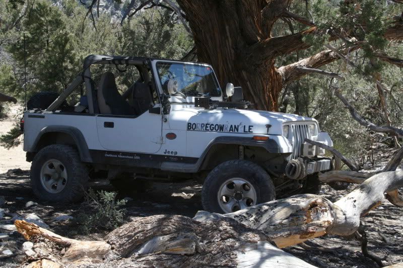
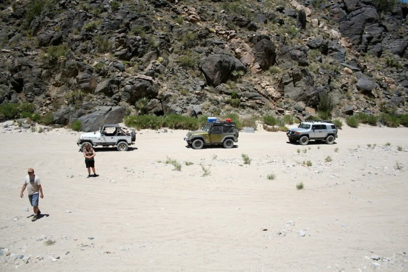
Stopping to see some of the sights.


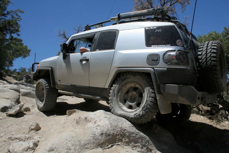
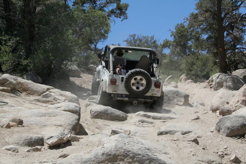
Heading up a rocky section along 2N61Y.


A strange creature emerges from the darkness...

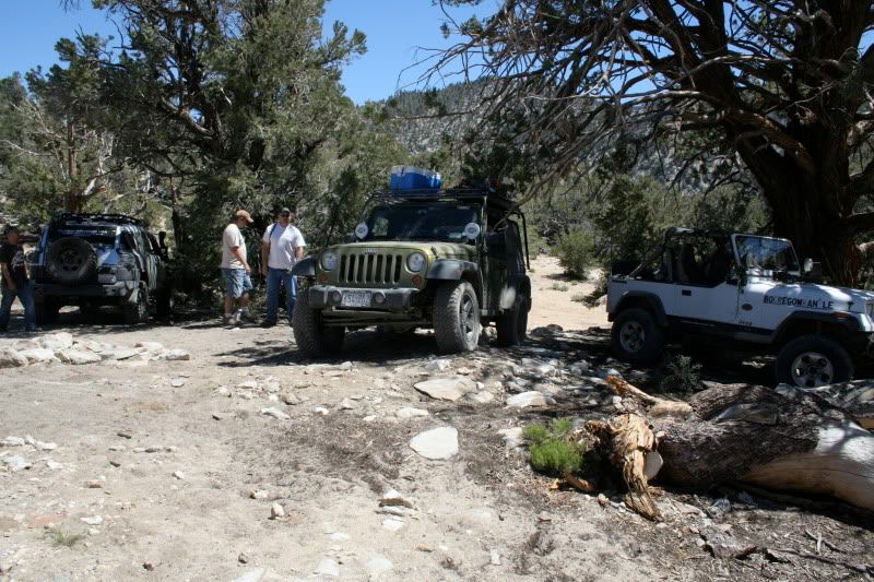
Lunch site.


Ollie tore open a CV boot doing the same thing a few weeks ago.


We could have easily spent a few more days up there enjoying the outdoors but as always, needed to get home. It was great meeting everyone at camp and along the trails; old faces as well as new. Looking forward to BorregoFest!