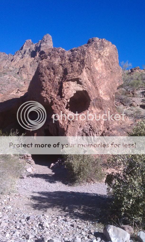
Dec. 2011 SoCal & AZ Overland Adventure
Posted: Tue Dec 27, 2011 4:08 pm
SoCal & AZ Overland Adventure: Dec. 23-26, 2011

Day 1: Bradshaw Trail to Cibola Wildlife Refuge Trail
This trip turned out to be quite the adventure. I was able to see and explore areas and trails I had never seen before, as well as scout out new places to go fishing. Friday morning of December 23rd, I awoke early to hit the road on out towards the east side of the Salton Sea to the Bradshaw Trail.
The water line of ancient Lake Cahuilla can be seen on the hills west of the Salton Sea.

This suggests of the possibility of one or more ships entrapped in the Salton Basin after entry via the Colorado River.
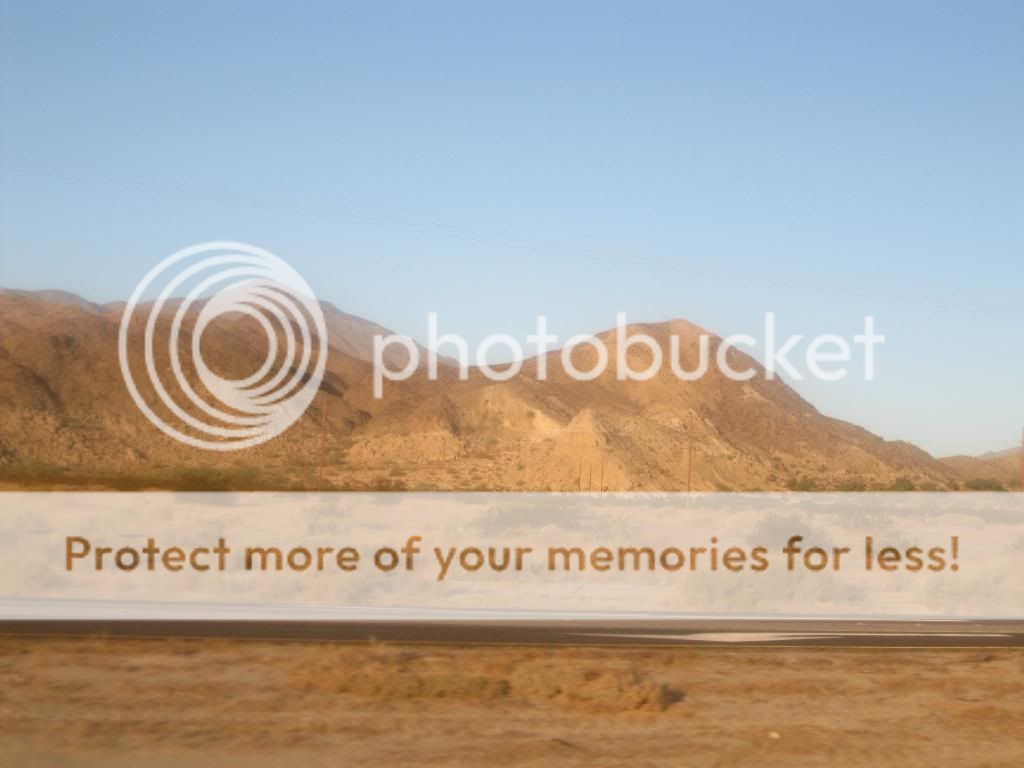
North Shore Beach & Yacht Club

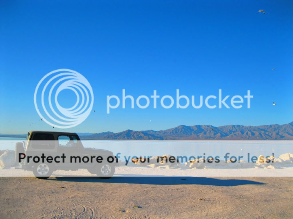
Salton Sea
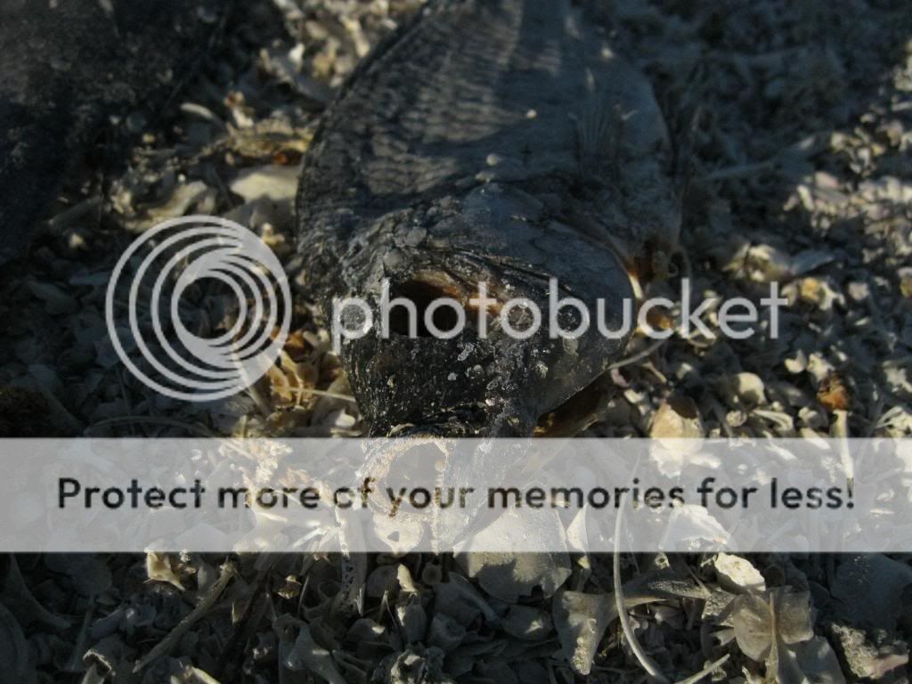
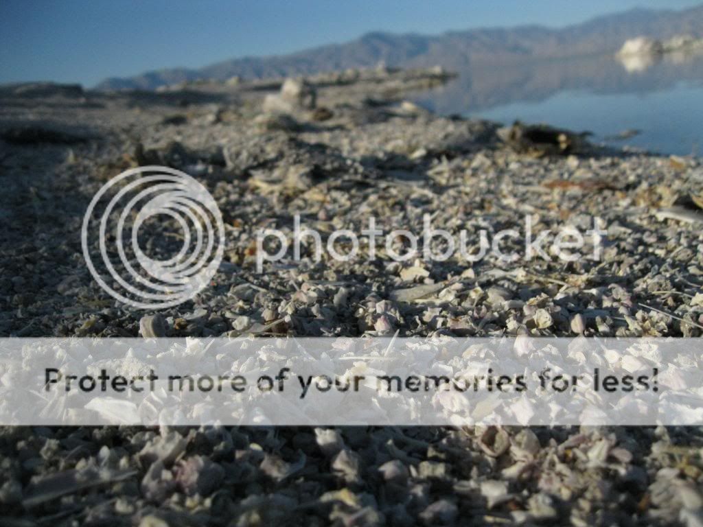
The shore was littered with dead Talapia.

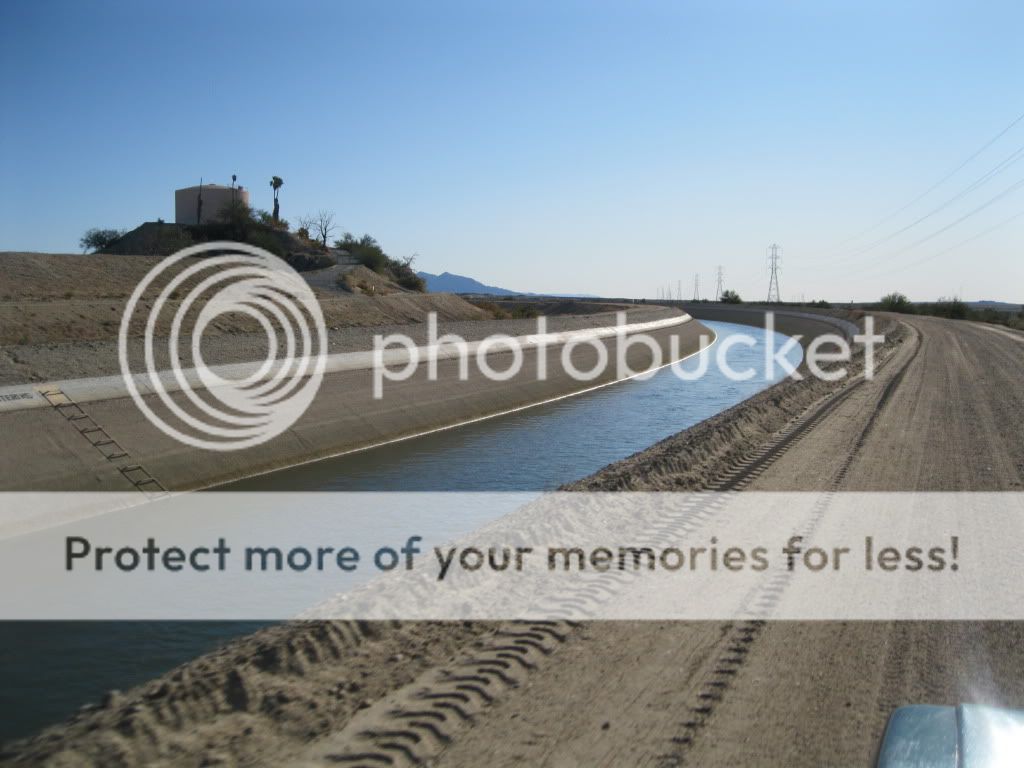
Heading towards the Bradshaw Trail, along the Cochella Canal.

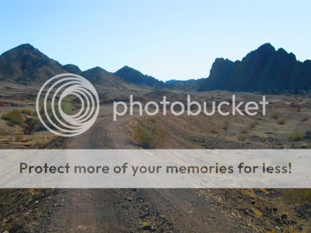
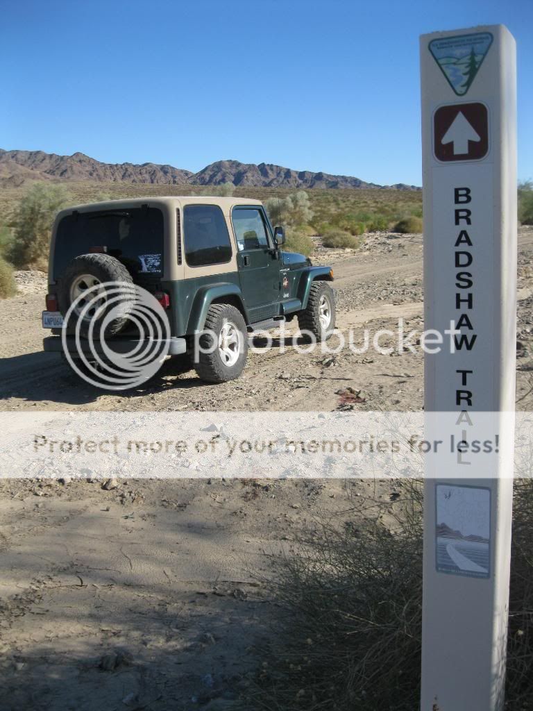
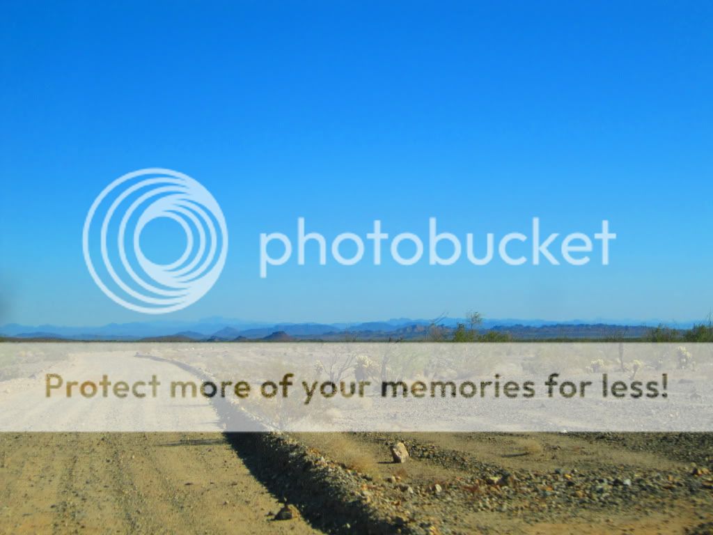
Start of the trail. Nicknamed the Gold Road at one time, this historic overland stage route in Southern California originally connected San Bernardino, California to gold fields in La Paz, Arizona, some miles north of Ehrenberg. It was the first road connecting Riverside County to the Colorado River.
Its remainder, a graded dirt road, traverses southeastern Riverside County and a part of Imperial County, beginning roughly 12 miles east of North Shore and terminating about 14 miles southwest of Blythe for a total of 70 miles.
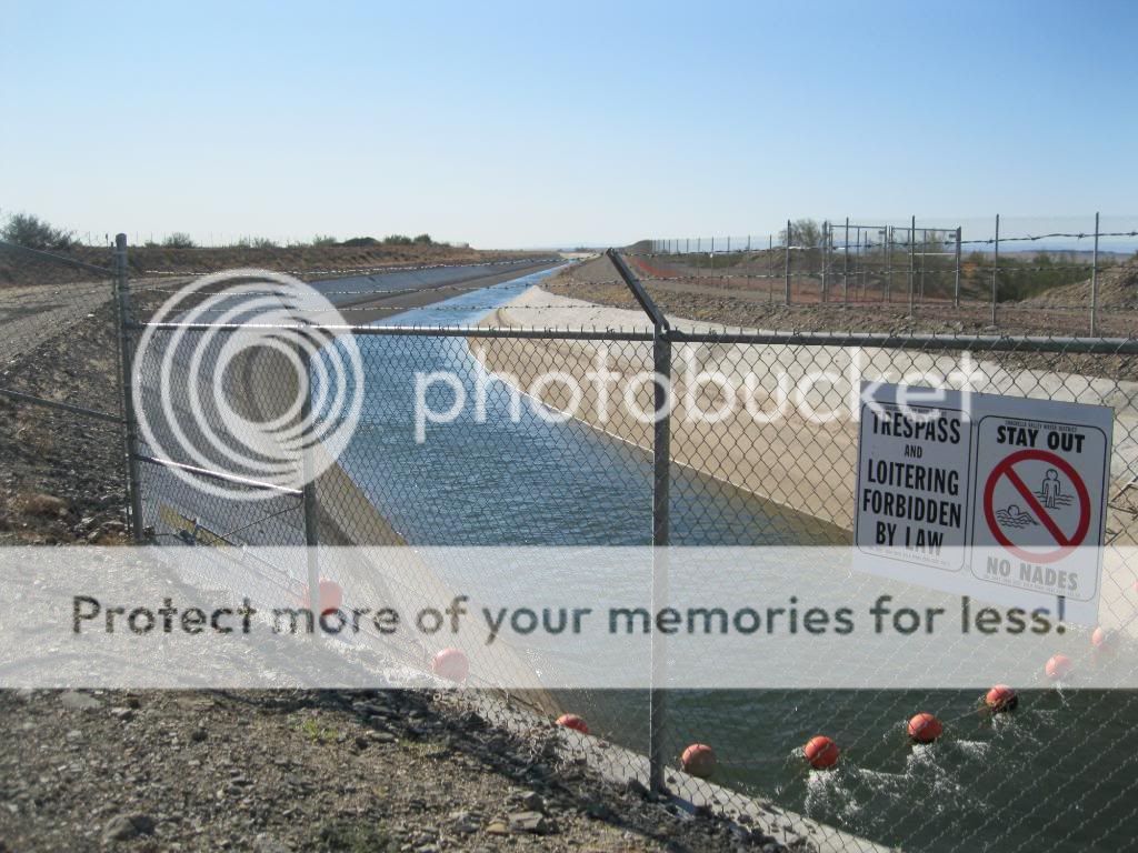
Here you see the route of the old canal.
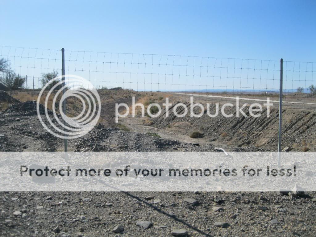
The new one is fenced in. So much for fishing it.
Stay on the trail!


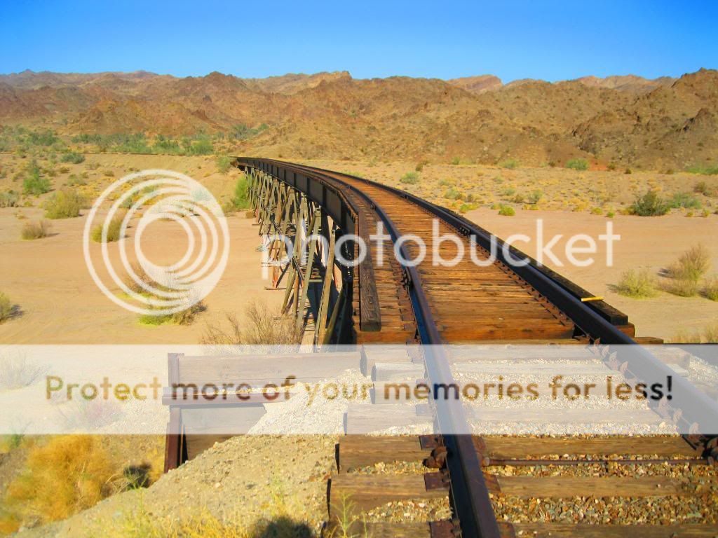
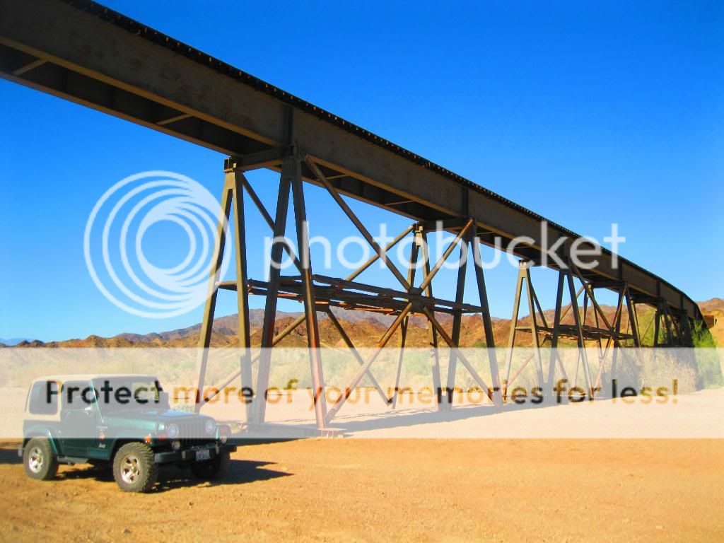
Abandoned railroad tracks.



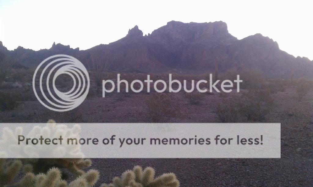
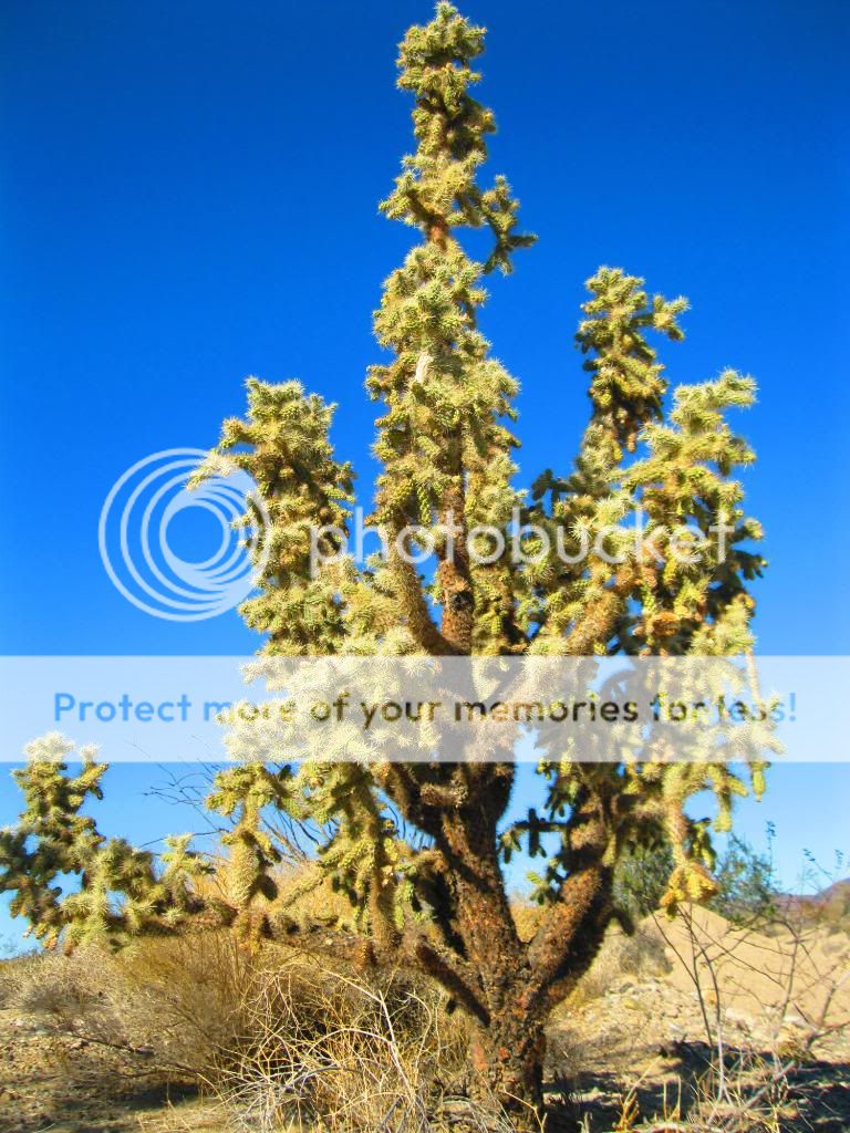
Some of the biggest Cholla I’ve seen.
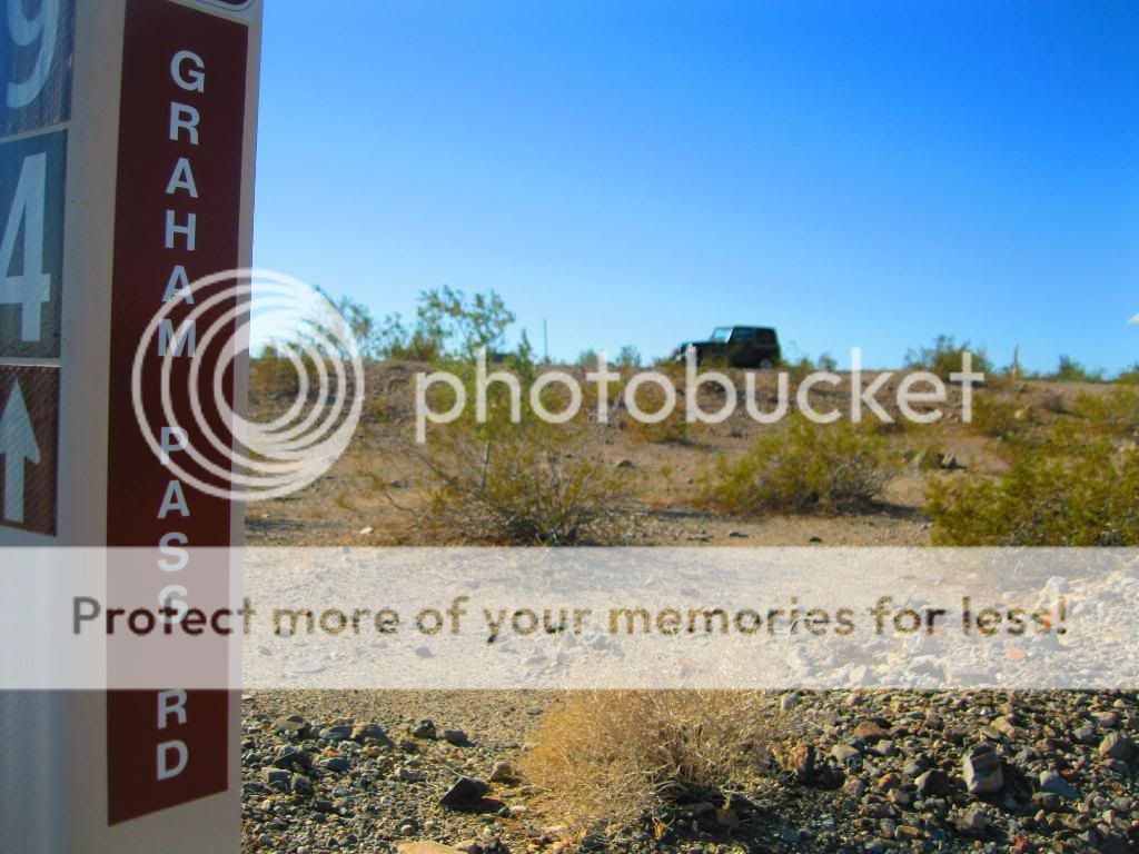
I’ve got a trail named after me!
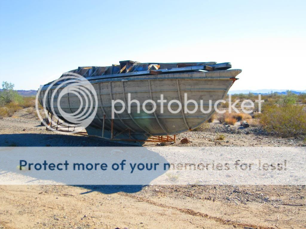
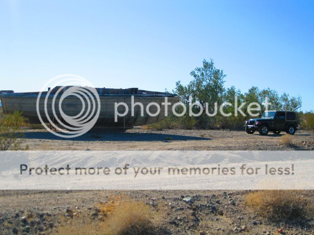
I found the lost ship of pearls!
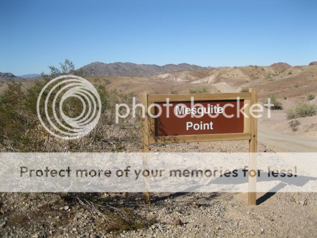
This was a nice campground.

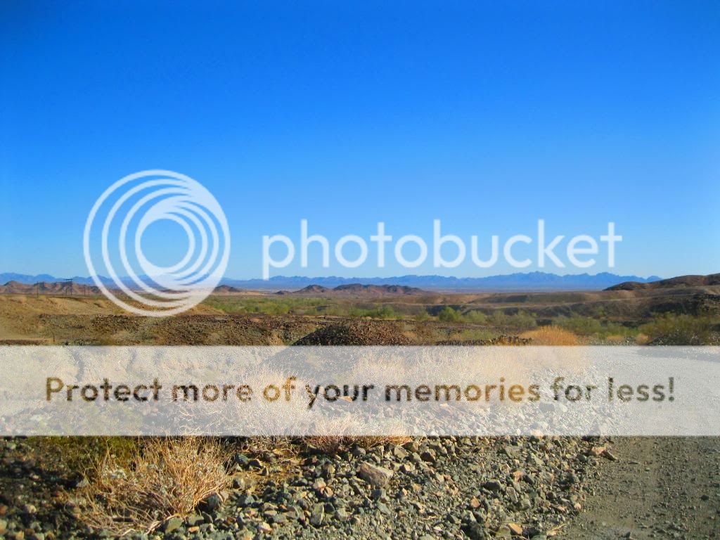
Coming to the end of the trail.

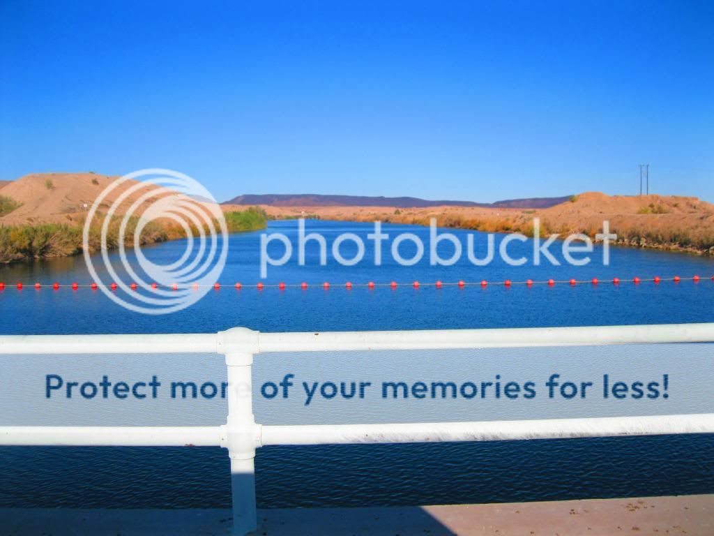
You pass over this canal at the end.

Any good fishing here?
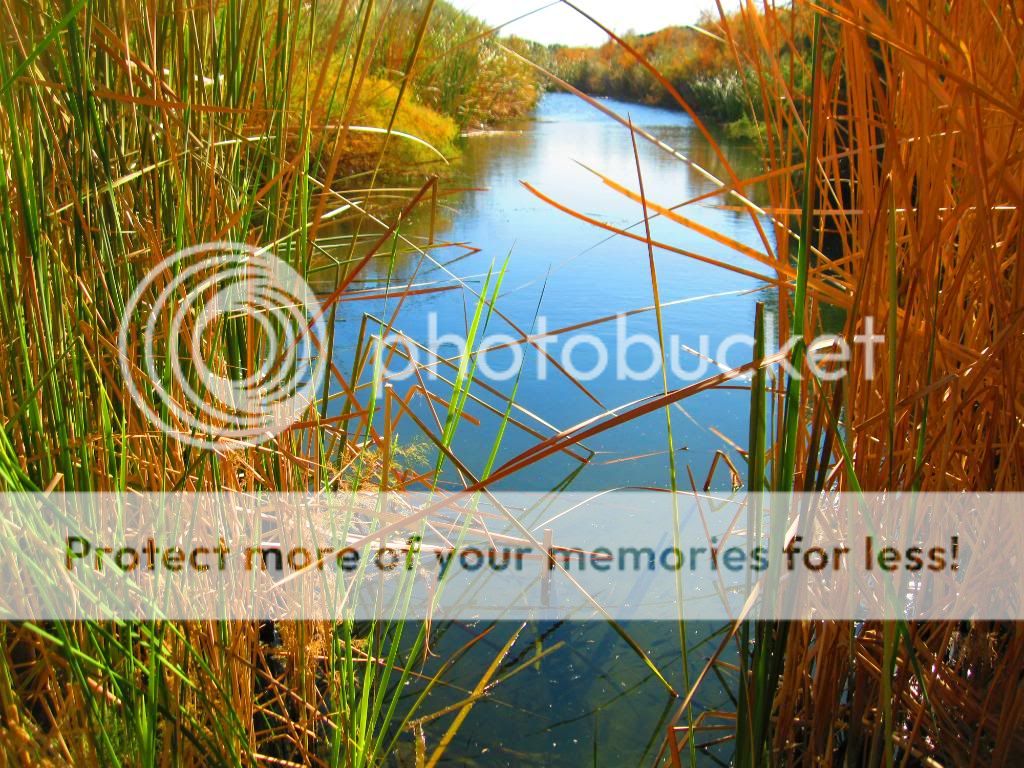
Another canal.

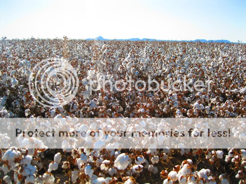
Cibola Bridge over the Colorado River.

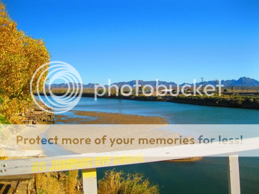

The Cibola Wildlife Refuge Trail is located in the floodplain of the lower Colorado River and surrounded by a fringe of desert ridges and washes. The refuge encompasses both the historic Colorado River channel as well as a channelized portion constructed in the late 1960's. Along with these main waterbodies, several important backwaters are home to many wildlife species that reside in this portion of the Sonoran Desert. Because of the river’s life sustaining water, wildlife here survive in an environment that reaches 120 degrees in the summer and receives an average of only 2 inches of rain per year.
The trail starts at Cibola Bridge and travels parallel to the Colorado river. This is mainly a dirt road and is bordered with arrow weeds at many places.

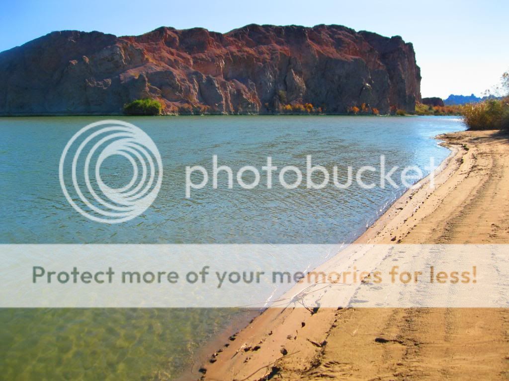
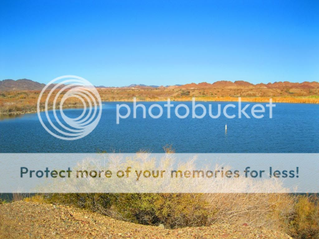
Campsite along the river with a nice spot to fish from.
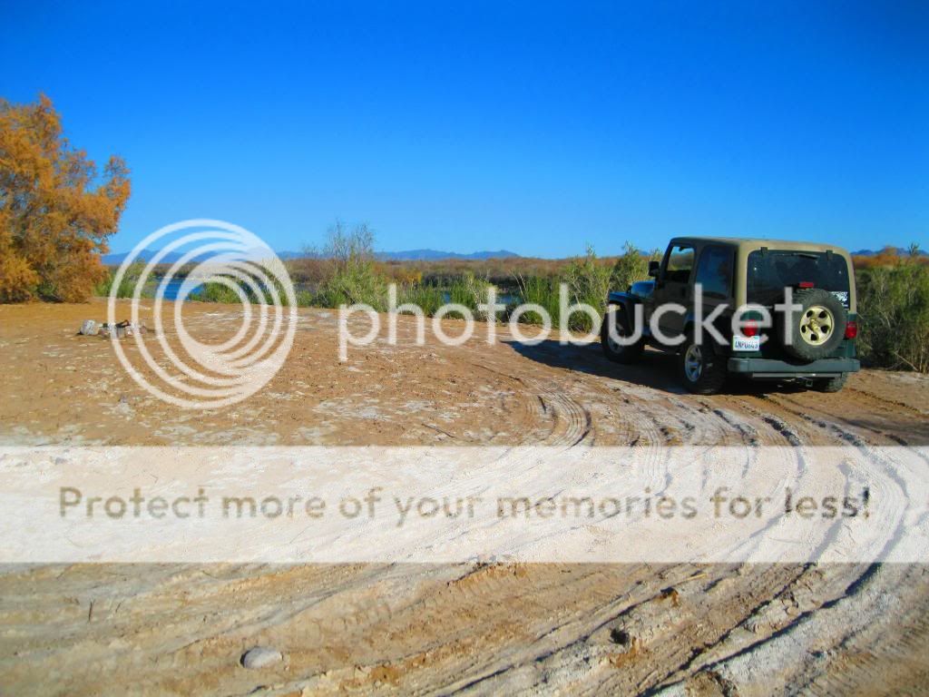

Campsite along oxbow lagoon.
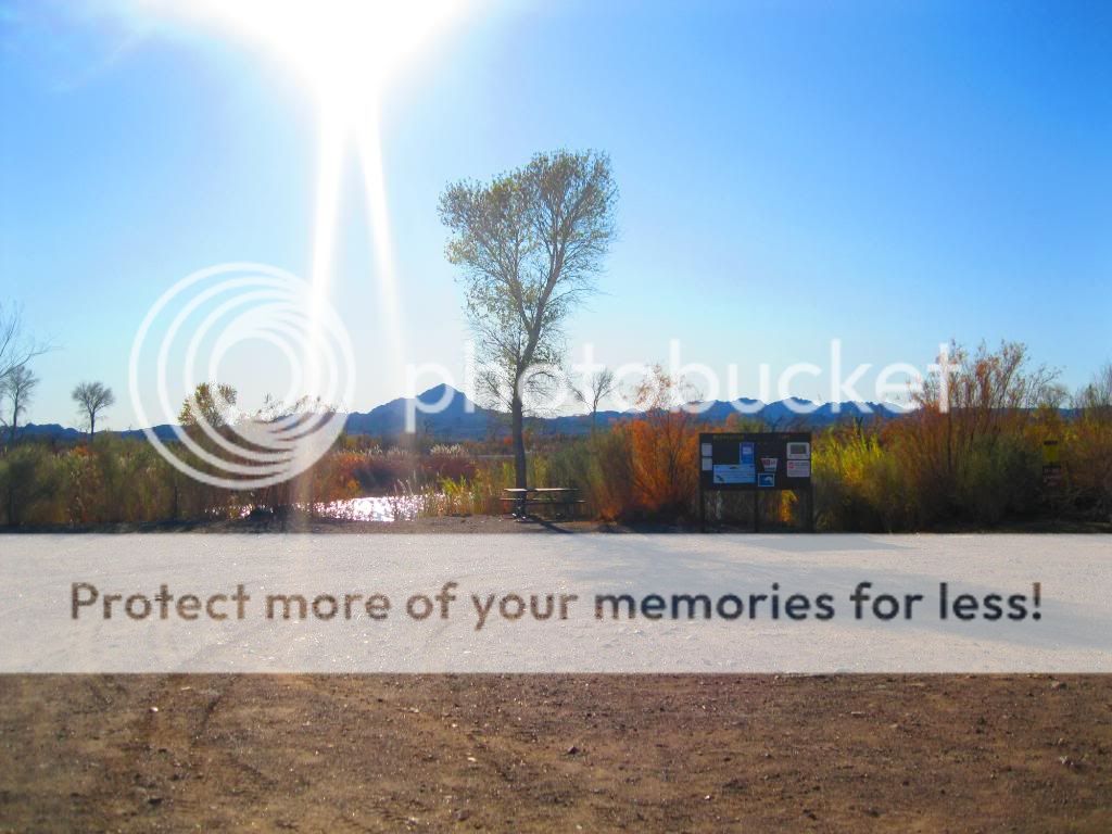
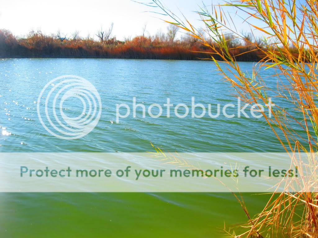
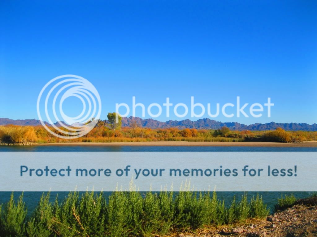
End of the route, across from Walters Camp.


The old river channel. The original Colorado River in the Cibola National Wildlife Refuge, bypassed and abandoned by government agencies. Neglect has caused a major migratory corridor for numerous bird species to become polluted and overgrown. Invasive plants have replaced quality native habitat mesquite, cottonwood and willows that once existed along the river. The levee was supposed to let water flow through to the old channel but has become filled with silt.

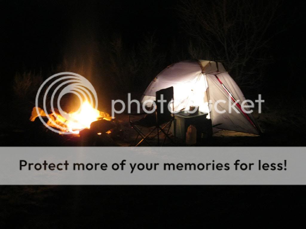
First campsite of the trip.



Day 1: Bradshaw Trail to Cibola Wildlife Refuge Trail
This trip turned out to be quite the adventure. I was able to see and explore areas and trails I had never seen before, as well as scout out new places to go fishing. Friday morning of December 23rd, I awoke early to hit the road on out towards the east side of the Salton Sea to the Bradshaw Trail.
The water line of ancient Lake Cahuilla can be seen on the hills west of the Salton Sea.

This suggests of the possibility of one or more ships entrapped in the Salton Basin after entry via the Colorado River.

North Shore Beach & Yacht Club

Salton Sea

The shore was littered with dead Talapia.


Heading towards the Bradshaw Trail, along the Cochella Canal.


Start of the trail. Nicknamed the Gold Road at one time, this historic overland stage route in Southern California originally connected San Bernardino, California to gold fields in La Paz, Arizona, some miles north of Ehrenberg. It was the first road connecting Riverside County to the Colorado River.
Its remainder, a graded dirt road, traverses southeastern Riverside County and a part of Imperial County, beginning roughly 12 miles east of North Shore and terminating about 14 miles southwest of Blythe for a total of 70 miles.

Here you see the route of the old canal.

The new one is fenced in. So much for fishing it.

Stay on the trail!


Abandoned railroad tracks.


Some of the biggest Cholla I’ve seen.

I’ve got a trail named after me!

I found the lost ship of pearls!


This was a nice campground.


Coming to the end of the trail.

You pass over this canal at the end.

Any good fishing here?

Another canal.


Cibola Bridge over the Colorado River.


The Cibola Wildlife Refuge Trail is located in the floodplain of the lower Colorado River and surrounded by a fringe of desert ridges and washes. The refuge encompasses both the historic Colorado River channel as well as a channelized portion constructed in the late 1960's. Along with these main waterbodies, several important backwaters are home to many wildlife species that reside in this portion of the Sonoran Desert. Because of the river’s life sustaining water, wildlife here survive in an environment that reaches 120 degrees in the summer and receives an average of only 2 inches of rain per year.
The trail starts at Cibola Bridge and travels parallel to the Colorado river. This is mainly a dirt road and is bordered with arrow weeds at many places.

Campsite along the river with a nice spot to fish from.


Campsite along oxbow lagoon.


End of the route, across from Walters Camp.


The old river channel. The original Colorado River in the Cibola National Wildlife Refuge, bypassed and abandoned by government agencies. Neglect has caused a major migratory corridor for numerous bird species to become polluted and overgrown. Invasive plants have replaced quality native habitat mesquite, cottonwood and willows that once existed along the river. The levee was supposed to let water flow through to the old channel but has become filled with silt.

First campsite of the trip.


