Page 1 of 2
OAUSA Net - April 14, 2016 - 5 Minute Destinations
Posted: Wed Apr 13, 2016 3:10 pm
by DaveK
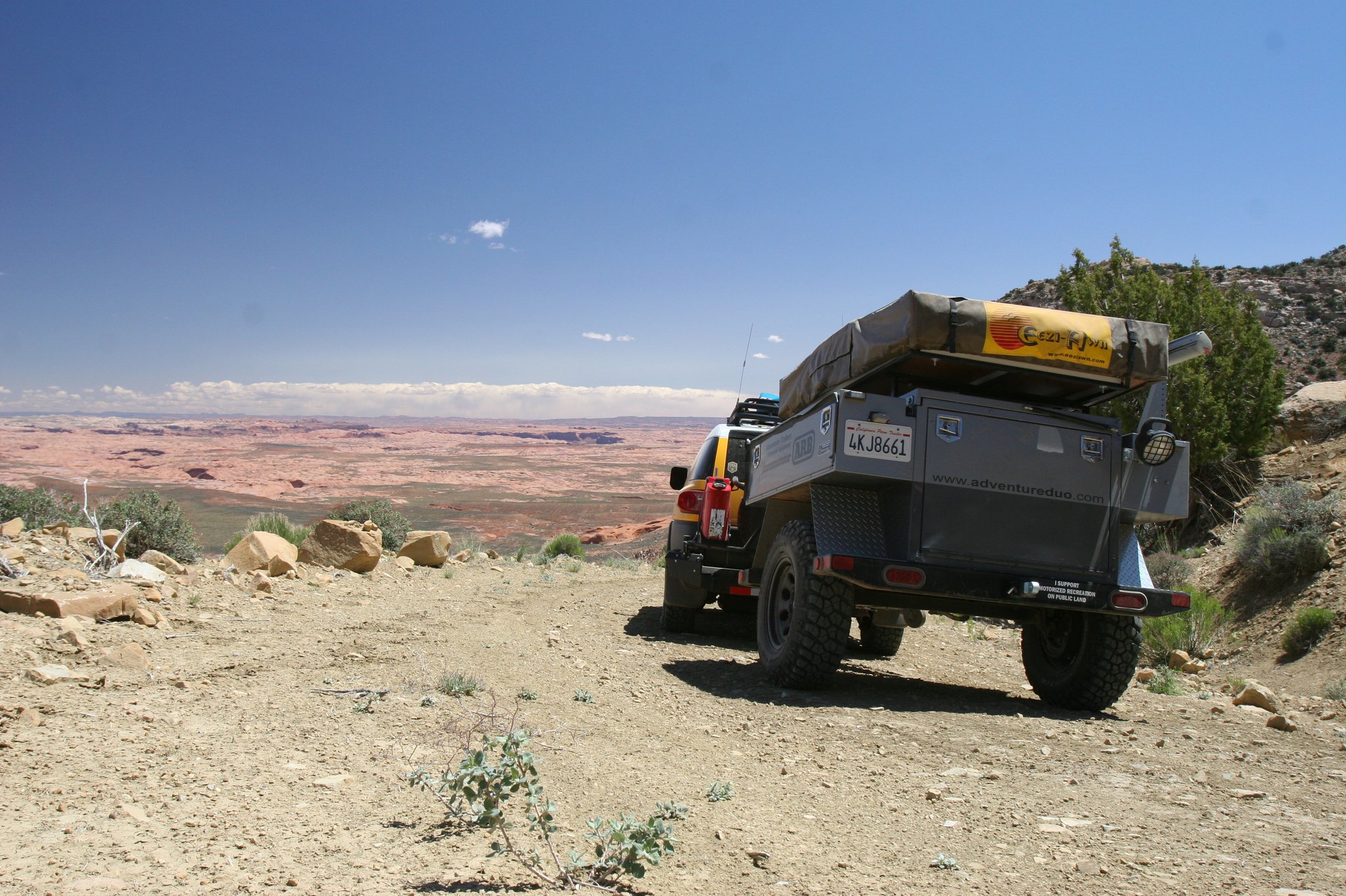
This week we will be taking a slight departure from our posted schedule as well as a departure from our customary approach to adventure/destination nets. Usually, when we do a destination net, we devote the entire time to a single location. For this net, as the title suggests, we will be devoting 5 minutes to each location. We have about a dozen off-roaders lined up to explain their favorite destinations. Below will be an individual post for each one.
We know that most of you also have a favorite outdoor destination and we would like to include as many as possible during the net. Don't be shy - post up!!!
Re: OAUSA Net - April 14, 2016 - 5 Minute Destinations
Posted: Wed Apr 13, 2016 3:40 pm
by John Aydelotte
Re: OAUSA Net - April 14, 2016 - 5 Minute Destinations
Posted: Wed Apr 13, 2016 5:11 pm
by KK6GFF
Re: OAUSA Net - April 14, 2016 - 5 Minute Destinations
Posted: Wed Apr 13, 2016 5:58 pm
by traveltoad
Re: OAUSA Net - April 14, 2016 - 5 Minute Destinations
Posted: Thu Apr 14, 2016 9:00 am
by cruiserlarry
Re: OAUSA Net - April 14, 2016 - 5 Minute Destinations
Posted: Thu Apr 14, 2016 3:51 pm
by hmfigueroa
I was going to say the same as Larry, That is my favorite,
My second Favorite, but only due to the distance is the 50 Mile Bench road in Grande Staircase Escalante.
The wide open space is incredible and photos do not do it much justice. The area is astoundingly beautiful. and from a ham radio perspective the extremely low noise floor make you triple chek that your antenna is connected.
All I can say is wow. Hole in the rock is not to be missed.
- 50 Mile Bench
- 50Milebench.jpg (594.14 KiB) Viewed 1308 times
https://www.offroaddance.com/fifty-mile ... t-english/
Re: OAUSA Net - April 14, 2016 - 5 Minute Destinations
Posted: Thu Apr 14, 2016 5:49 pm
by KAP
Dave,
Please check me in. I will be on and looking forward to the Net.
Kevin
KK6DGL
Re: OAUSA Net - April 14, 2016 - 5 Minute Destinations
Posted: Thu Apr 14, 2016 6:42 pm
by DaveK
Re: OAUSA Net - April 14, 2016 - 5 Minute Destinations
Posted: Thu Apr 14, 2016 7:30 pm
by KK6DYO
Re: OAUSA Net - April 14, 2016 - 5 Minute Destinations
Posted: Thu Apr 14, 2016 8:48 pm
by NotAMog
I have a loop which which is near by me that is on the other side of Hwy 14 from the previous post. If I want to do a weekend drive or take some folks out to give them a taste of off roading I like to do the loop along the L.A. Aqueduct road up through Red Rock Canyon, Jawbone Canyon, and Dove Springs OHV area. I catch the Aqueduct road where it crosses the Cal City Cut Off. This road basically does a short loop between exit 165 on Hwy 58 and California City Blvd. The Aqueduct road is a Michell Class I road for the most part although you need to not drive it too fast as there can be washouts that are hard to see until you're right on them. The Aqueduct road winds along the foot hills. Once at the Dove Springs OHV area I go west on SC120 up over Bird Springs Pass.
Here is a link to a BLM map showing the general area -
http://www.blm.gov/style/medialib/blm/c ... il_map.pdf
SC120 can be difficult to find as there are many unmarked roads in the Dove Spring OHV area and many of the road markers are missing. Once you get to the general area you can start heading west where eventually the road is easier to find as it's clearly the only one going up into the mountains. Before you start climbing there is a sandy area which can be a little tricky to traverse. This leads into a very dense Joshua Tree forest. This has to be one of the best stands of Joshua Trees in the area. Its very pristine as the Kiawah Wilderness boarders the road on the north side. As you continue west the road climbs into the Scodie Mountains.
At the top of the pass there is a road to the left leading up to a repeater site. There is a 2m repeater up there in addition to a number of commercial repeaters. The Pacific Crest Trail crosses SC120 at this point as well. There is a water cache for the hikers just north of SC120. It's always nice to leave a gallon or two here to help out the through hikers.
From here the loop continues down the west side of the pass into Kelso Valley. This is mostly private land. There are a number of small ranches down there. Eventually you come out on Kelso Valley Road where I turn left. I follow Kelso Valley Road for a few miles looking out for Jawbone Canyon Road where I turn left again (east). This leads back up into the mountains, over the pass, and descends down through Jawbone Canyon.
The aqueduct road is very easy to spot as the water runs in an above ground pipeline. I usually continue on Jawbone Canyon to where it meets Hwy 14. Just before the stop sign is Jawbone Station on the left. This is a great place to get maps and history books for the whole Mojave and Eastern Sierra areas. I like to stop in whenever I can to see what's new.
Here is the URL for the Friends of Jawbone with information on Jawbone Station -
http://www.jawbone.org/
After my side trip to Jawbone Station I head back west to the aqueduct then head south (left) and follow the aqueduct road back to the Cal City Cut Off.


