OAUSA Net - April 21, 2016 - Wilderness Navigation
Posted: Tue Apr 19, 2016 4:02 pm
A few months ago we received requests to do another net on wilderness navigation. We've done this net before and the response has always been huge. So, the net this week will cover this topic. In the past, it was impossible to cover all of the areas that wilderness navigation deserves, so we will hold out the possibility of a second net, if necessary.
The continually evolving field of electronic navigation is nothing short of amazing. While navigating in the wilderness has changed significantly, there is one thing that has not changed - the need for paper maps. Although paper maps are not as prevalent as in the past, they are an indispensable back-up to your electronic tools, and they can serve as a valuable supplement to the new digital age methods of navigation. Off road, there are some absolutes that the wise and prepared traveler needs to acknowledge. Among these absolutes, especially when it comes to the new-fangled electronic tools we use for navigation, is the recognition that ALL mechanical and electronic devices will break, sooner or later. The other absolute is that you will never know when. This is why paper maps should always accompany you in the outback, especially when you are new to the area.
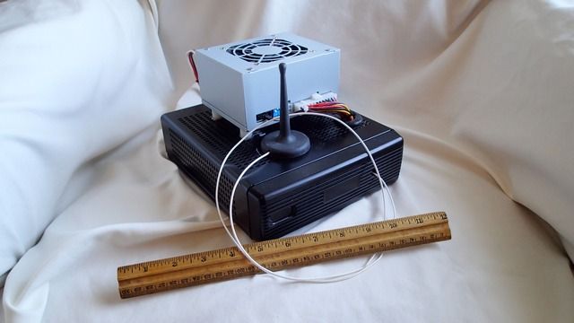
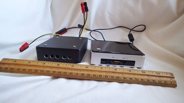
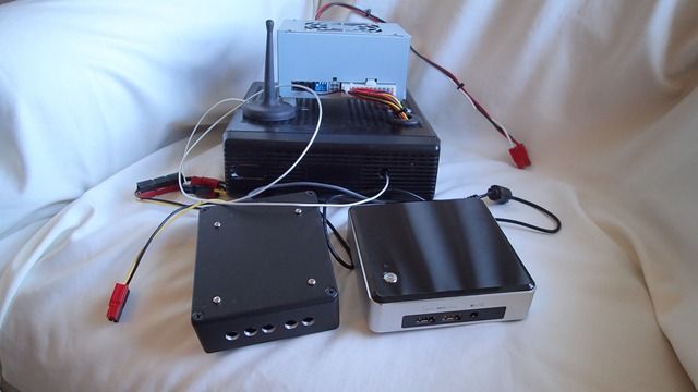
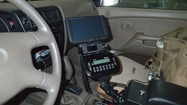
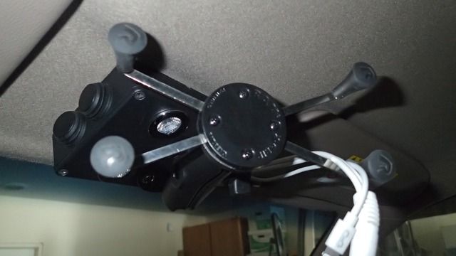
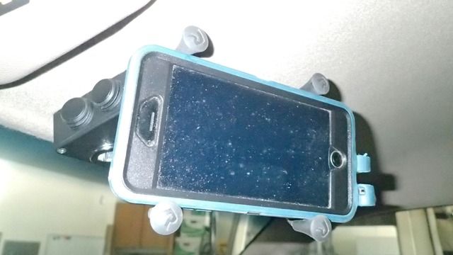
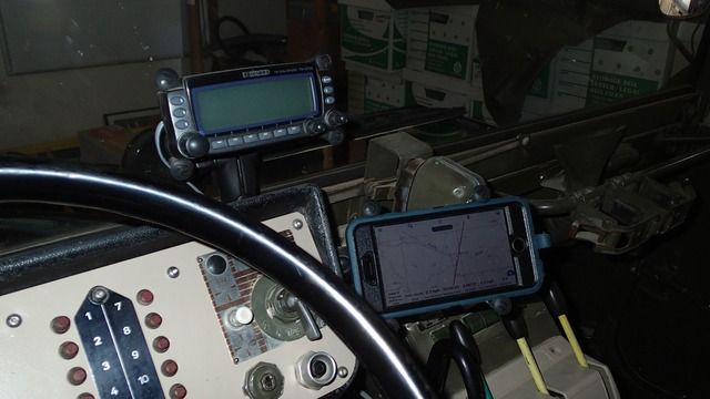
Our net this week will focus mainly on the use of a computer and a GPS. Computers come in may forms these days and include laptops, notebooks, mini laptops, tablets, carputers, etc. GPS devices also come in may forms and include hand held or dash mounted units, integrally mounted units in computers, and small external devices that can be attached to a computer or radio. The field of navigation equipment, including software and hardware, is in a great state of transition. Some of the biggest players have left the market and created a vacuum which has been filled, in part, by many other innovative products. Mapping information is also going through great transitions as well.
In addition to aiding you in wilderness navigation, your set-up should also allow you to do the trip planning necessary to select the best routes to travel, where to camp, what to see and in what order, etc. With a proper approach, your travel plans and mapping information should be shared with the other members of your group, even if they have a system that is different from yours.
We know what works best for us, but we also know that there are many other approaches that should be included in the discussion. Don't be shy - add your comments to this thread and join us for the net.
Pictures, information and links to follow.
The continually evolving field of electronic navigation is nothing short of amazing. While navigating in the wilderness has changed significantly, there is one thing that has not changed - the need for paper maps. Although paper maps are not as prevalent as in the past, they are an indispensable back-up to your electronic tools, and they can serve as a valuable supplement to the new digital age methods of navigation. Off road, there are some absolutes that the wise and prepared traveler needs to acknowledge. Among these absolutes, especially when it comes to the new-fangled electronic tools we use for navigation, is the recognition that ALL mechanical and electronic devices will break, sooner or later. The other absolute is that you will never know when. This is why paper maps should always accompany you in the outback, especially when you are new to the area.
Our net this week will focus mainly on the use of a computer and a GPS. Computers come in may forms these days and include laptops, notebooks, mini laptops, tablets, carputers, etc. GPS devices also come in may forms and include hand held or dash mounted units, integrally mounted units in computers, and small external devices that can be attached to a computer or radio. The field of navigation equipment, including software and hardware, is in a great state of transition. Some of the biggest players have left the market and created a vacuum which has been filled, in part, by many other innovative products. Mapping information is also going through great transitions as well.
In addition to aiding you in wilderness navigation, your set-up should also allow you to do the trip planning necessary to select the best routes to travel, where to camp, what to see and in what order, etc. With a proper approach, your travel plans and mapping information should be shared with the other members of your group, even if they have a system that is different from yours.
We know what works best for us, but we also know that there are many other approaches that should be included in the discussion. Don't be shy - add your comments to this thread and join us for the net.
Pictures, information and links to follow.