PARASHANT 10 DAY TRIP REPORT
WHAT A SPECTACULAR TRIP!!!!!!!!!!
Well, we all made it back safe and sound. While we all returned home "physically" safe, we did have one member who experienced some significant difficulties and he will post below concerning his "excellent adventure." Clean up continues and probably will for a while.
TRIP DETAILS:
1,200+ -total miles traveled
400+ - total miles off-road
10 - good weather days
The trip was organized well in advance, and it paid off. Having done this trip in the past, is was evident that some destinations deserved more than a single day. So, we decided that we would camp at Kelly Point and Twin Point for two days each. A good argument can be made that we could have stayed at each camp for two days (or more), but there was so much to see and a somewhat limited 'number of days to explore. The pictures below give a pretty good idea of what we experienced, but as with all trips, it has to be seen to be fully appreciated.
SEVERAL THANK-YOUS ARE IN ORDER HERE:
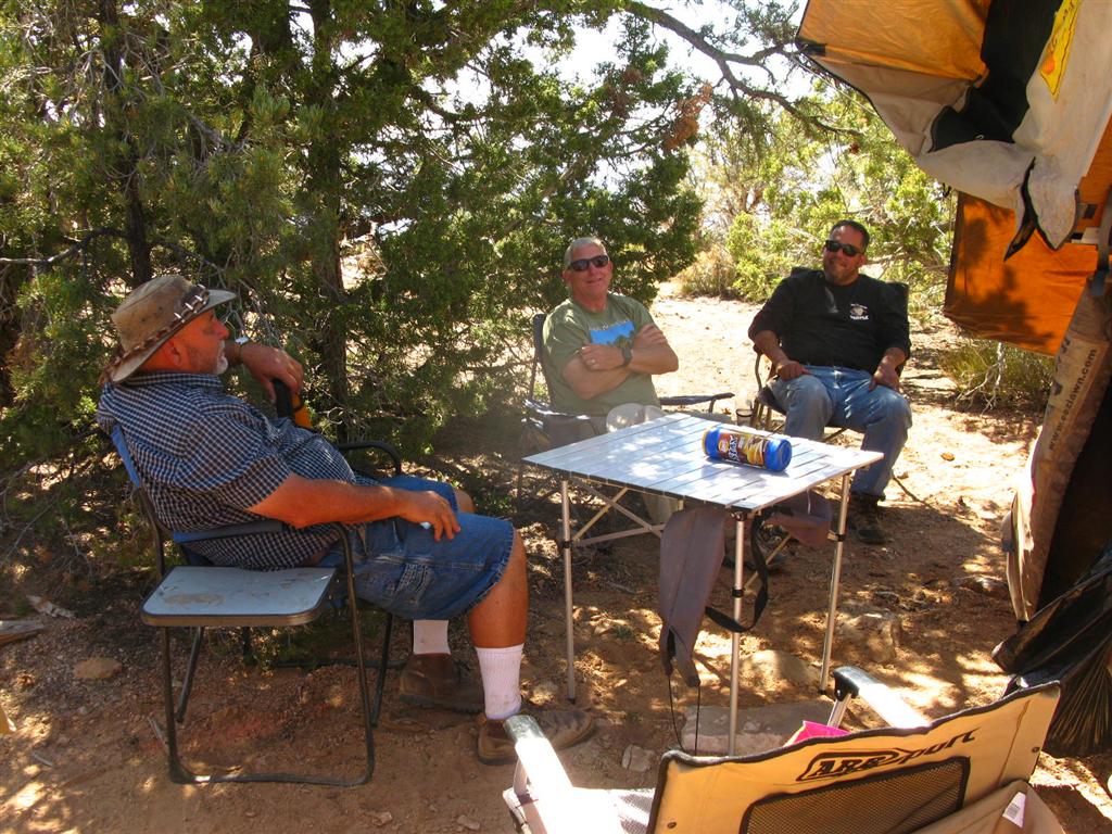
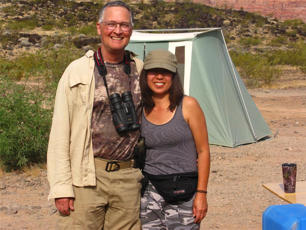
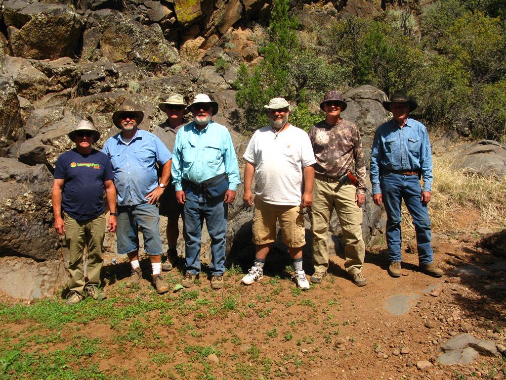
1. First and most important, thanks to all the members of the group. It was a complete pleasure to travel with good friends, great chefs, and very competent off-road drivers. Preparing for this trip required a lot of work, expense, and time, and everyone did a terrific job. When the details and prep work come together (as they did here) it is so much easier and pleasurable to enjoy the great land through which we traveled.
2. Many thanks to Parashant rangers, Royce Orme and Marty Simms, with whose help we were able to get up to date trail information as well as other trip recommendations. One of the trails we had used in the past had suffered severe storm damage and was impassible. With the new information, we made a slight detour.
3. Many thanks to Larry who posted out trip pictures, as above, which we transmitted to him during the trip by means of my HF Airmail.
NO TRIP REPORT WOULD BE COMPLETE WITH A LISTING OF EXCEPTIONAL GEAR PERFORMANCE;
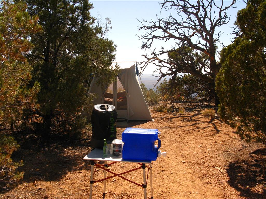
1. There is no getting around one fact - the Parashant is dusty. Everything in the vehicles, on our clothes, in the tents, etc. got a generous helping of dust. In anticipation of this, we brought sufficient water to enable our hot water showers. My Zodi was a very welcome relief at the end of the day.
2. On our last visit to this area, we found that there was almost no cell phone coverage, and, what little existed, was very spotty and quite weak. On this trip, to our immense surprise, on both points and on Mt Logan, we not only had decent coverage, but had 4G, 4-5 bar strength!!! That is, only Verizon users had coverage, but we had more than enough for everyone to enjoy with a mobile wi-fi set-up. Being more than 120 miles from the nearest "real" city, and in such a remote and wild location, this was quite unexpected and very interesting.
3. For all the rest of the locations, I had terrific HF propagation for both voice and Airmail. For the entire trip, from the highest peaks to the lowest canyons, Airmail ALWAYS worked. The most unexpected discovery with Airmail was the availability of a Pasco Washington station, over, 750 miles from our locations. To my great surprise and delight, this station served me from every location we visited, and at the highest speeds I have yet seen with my Pactor P3 controller. I can't wait for the Pactor 4 controllers to get approval from the FCC!!!!!.
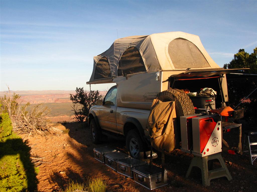
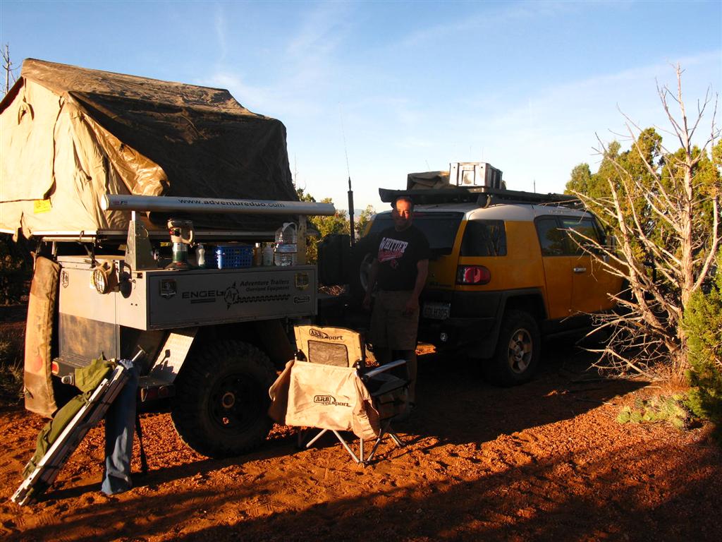
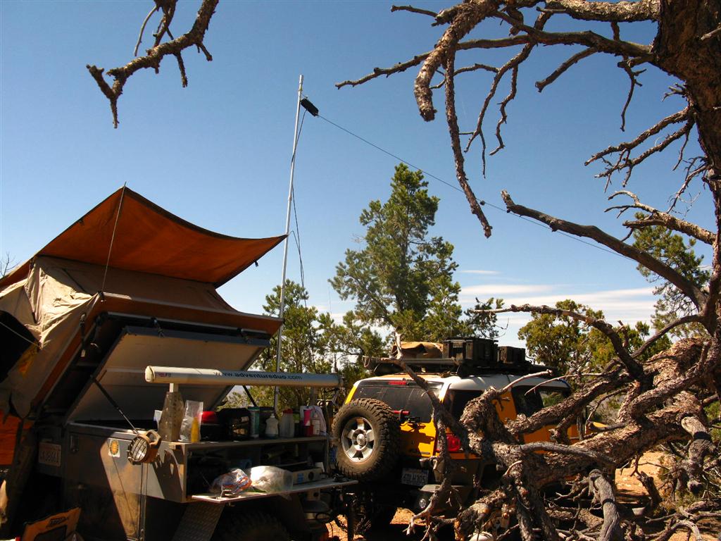
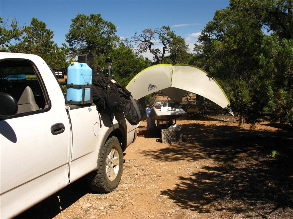
4. With one exception, which I will note below, there were no facilities of any kind, for the entire trip. This meant that we had to rely on the gear we brought in order to survive. For a trip of this length, we needed the benefits of 12V refrigerators to keep food well preserved. For my fridge unit, computer, and Ham radios, my alternate power arrangements were a huge benefit. I relied on solar during the day, but at night, it was another matter. On one occasion, when we reached camp at 6:30 in the evening, the mercury had reached 100. Between my Ham radio and the refrigerator (which would be cycling on and off all night long), I knew that I needed some help, especially after the sun set. The solution - my wind turbine. It was almost like it we planned it - when the sun went down, the wind came up and lasted for the entire night. When the sun came up the next morning, the wind died out. For the entire night, the battery level was in the safe zone and completely charged, thanks to the wind turbine.
We visited the following locations:
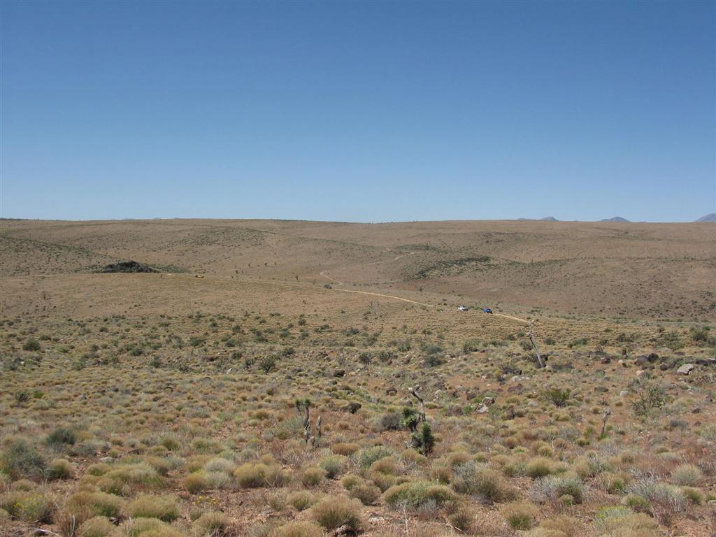
1. PAKOON BASIN WITH VIEW OF THE GRAND WASH CLIFFS
- IMG_0008 (Large).JPG (121.48 KiB) Viewed 25305 times
- IMG_0009 (Large).JPG (99 KiB) Viewed 25305 times
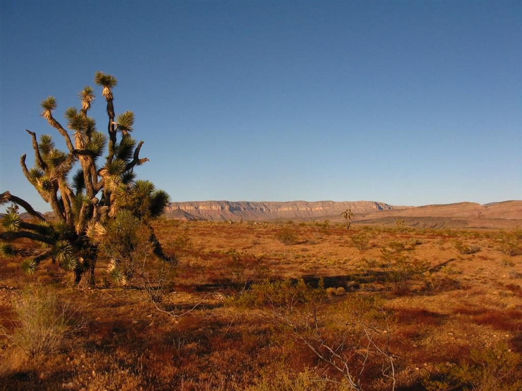
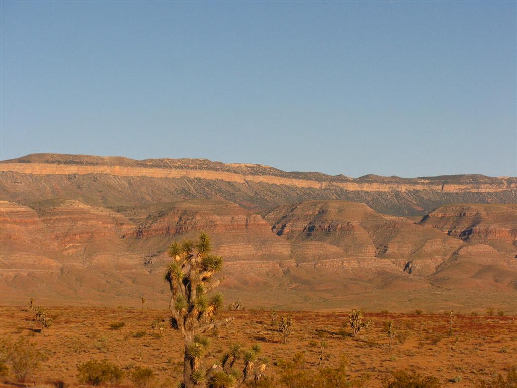
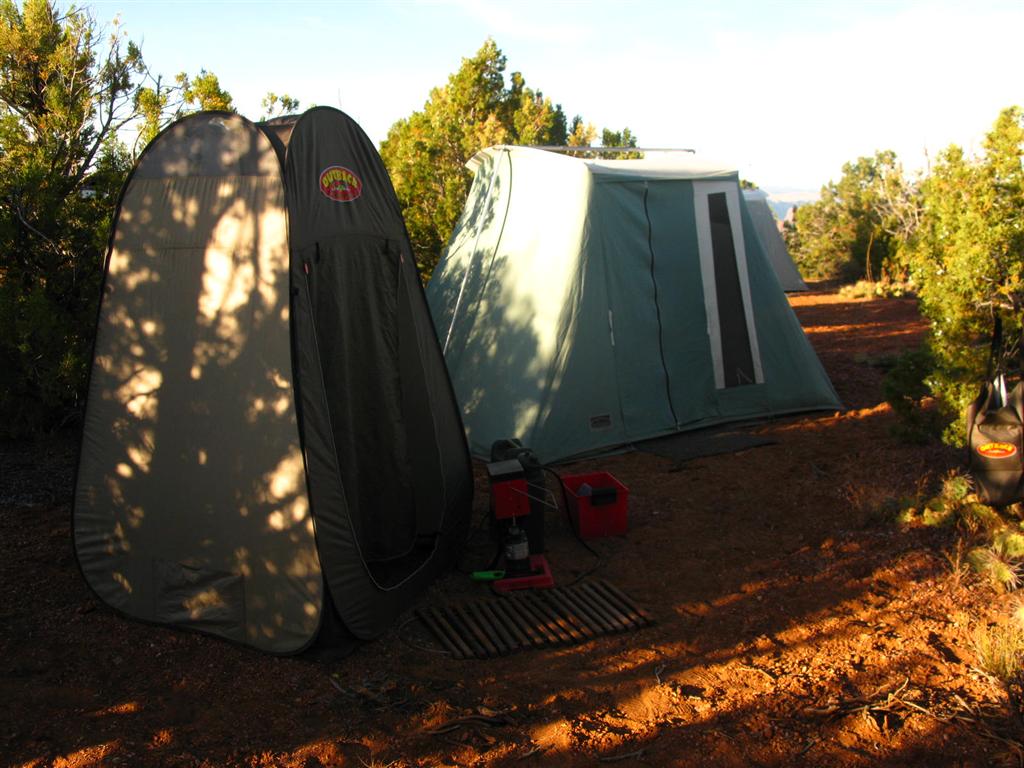
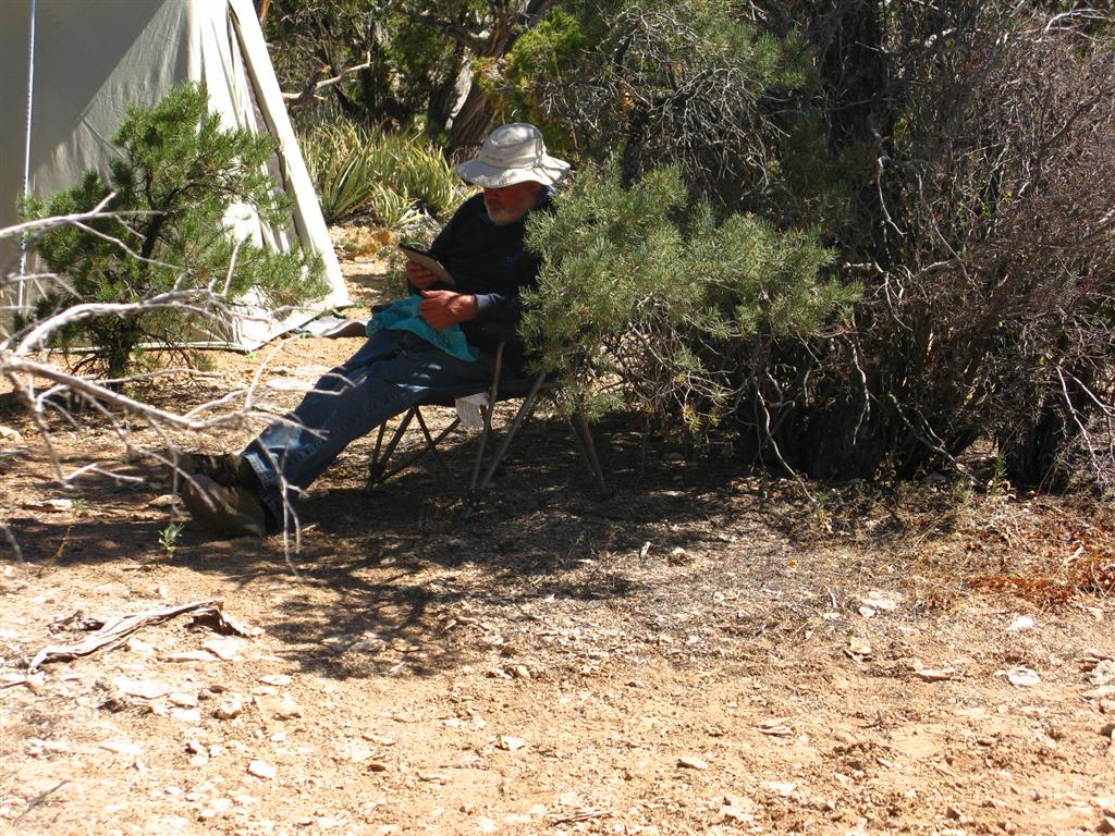
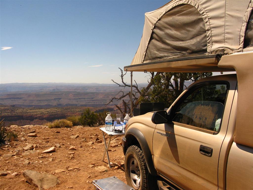
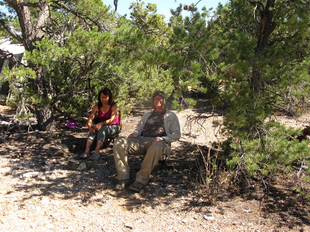
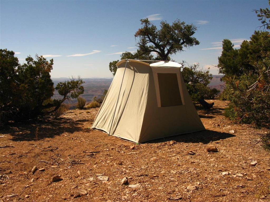
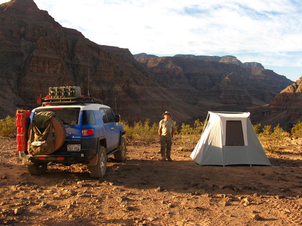
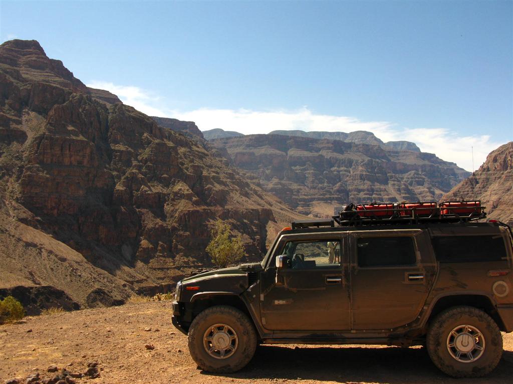
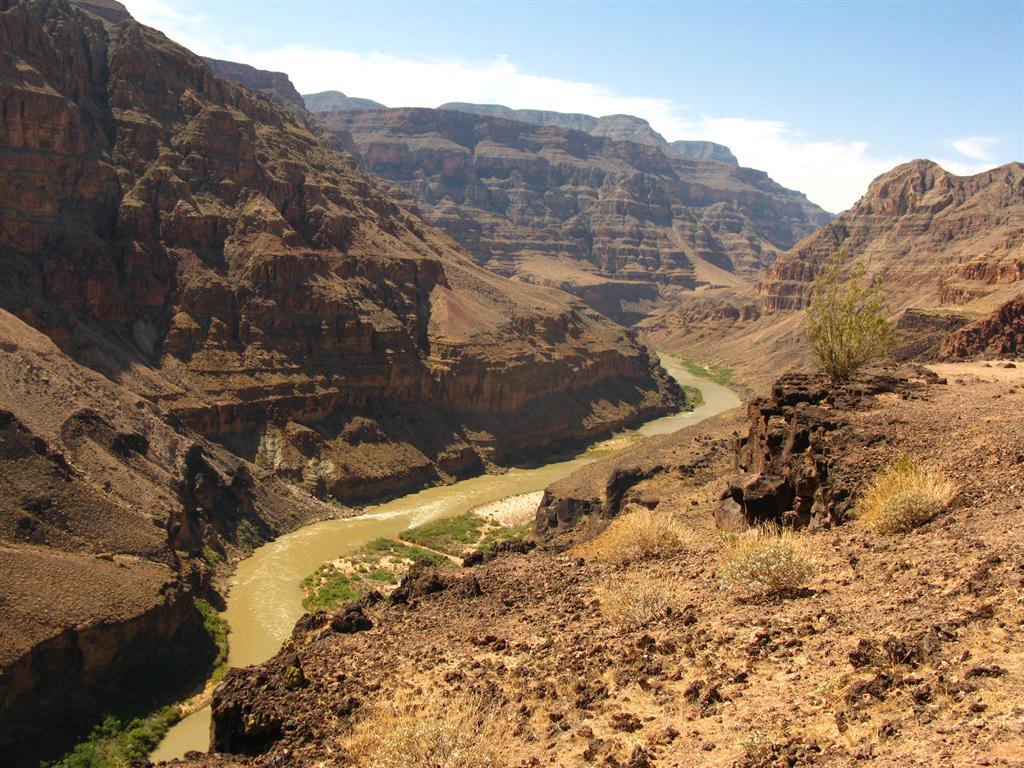
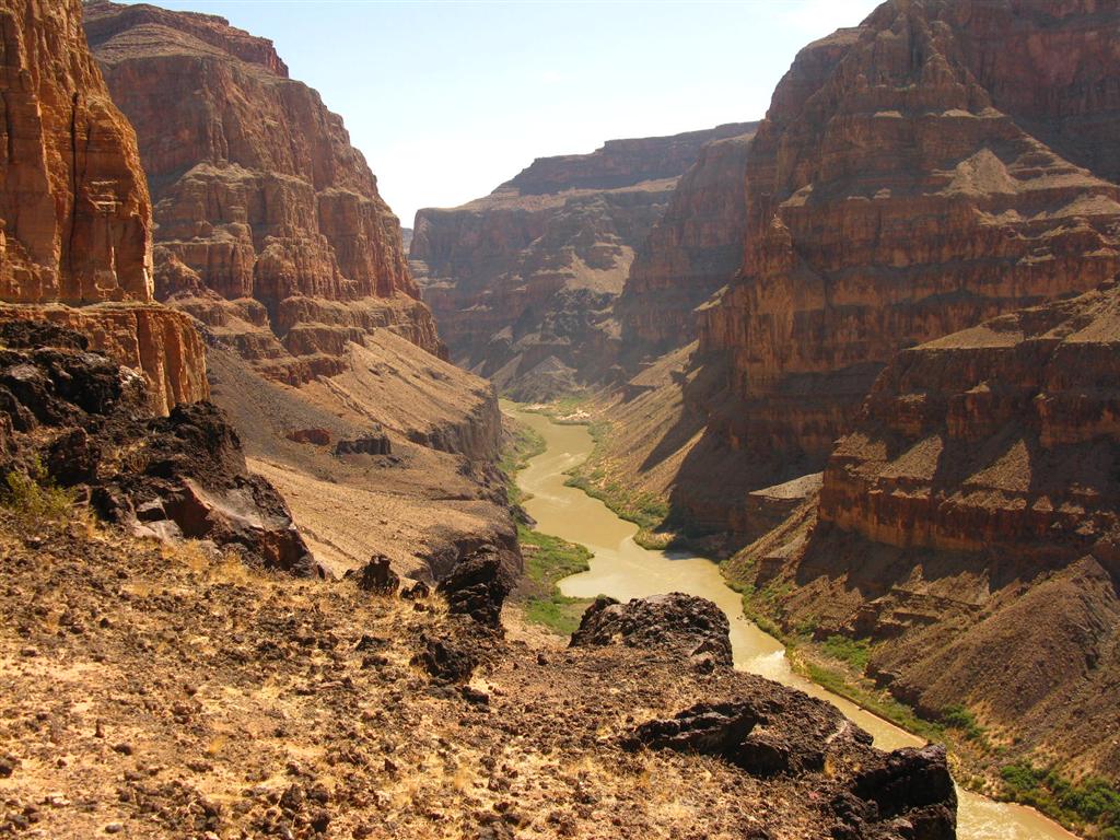
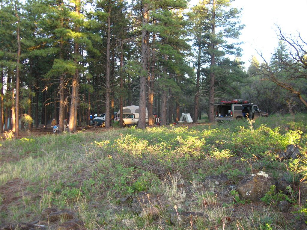
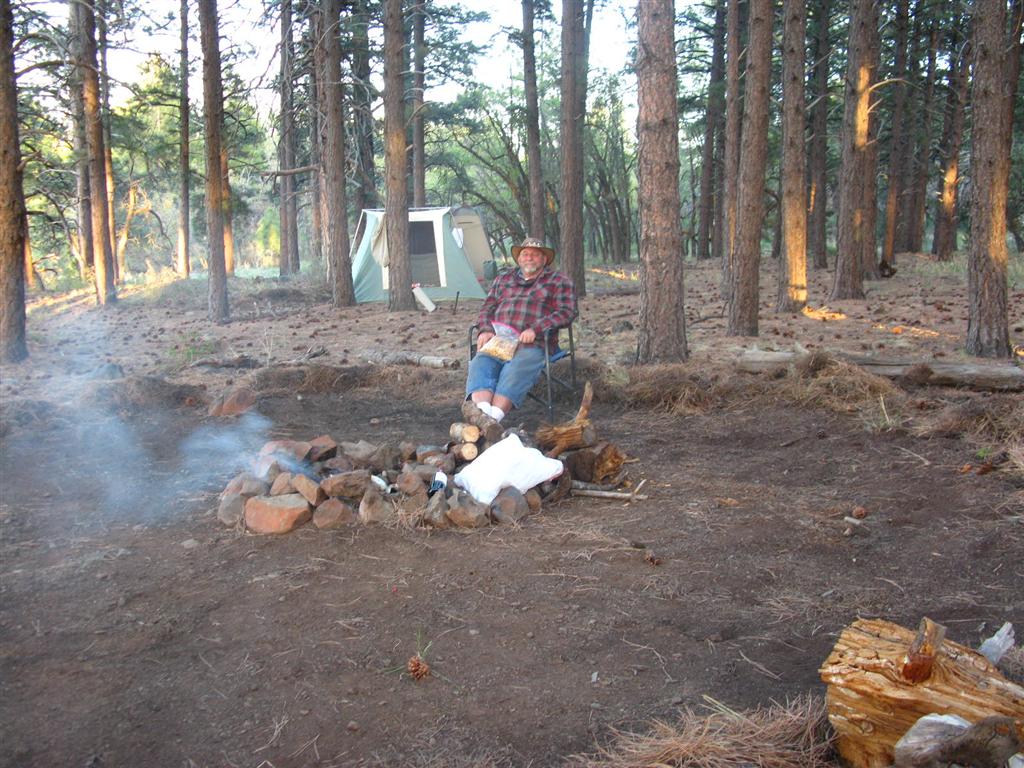
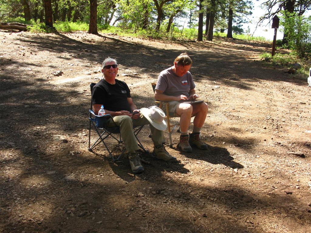
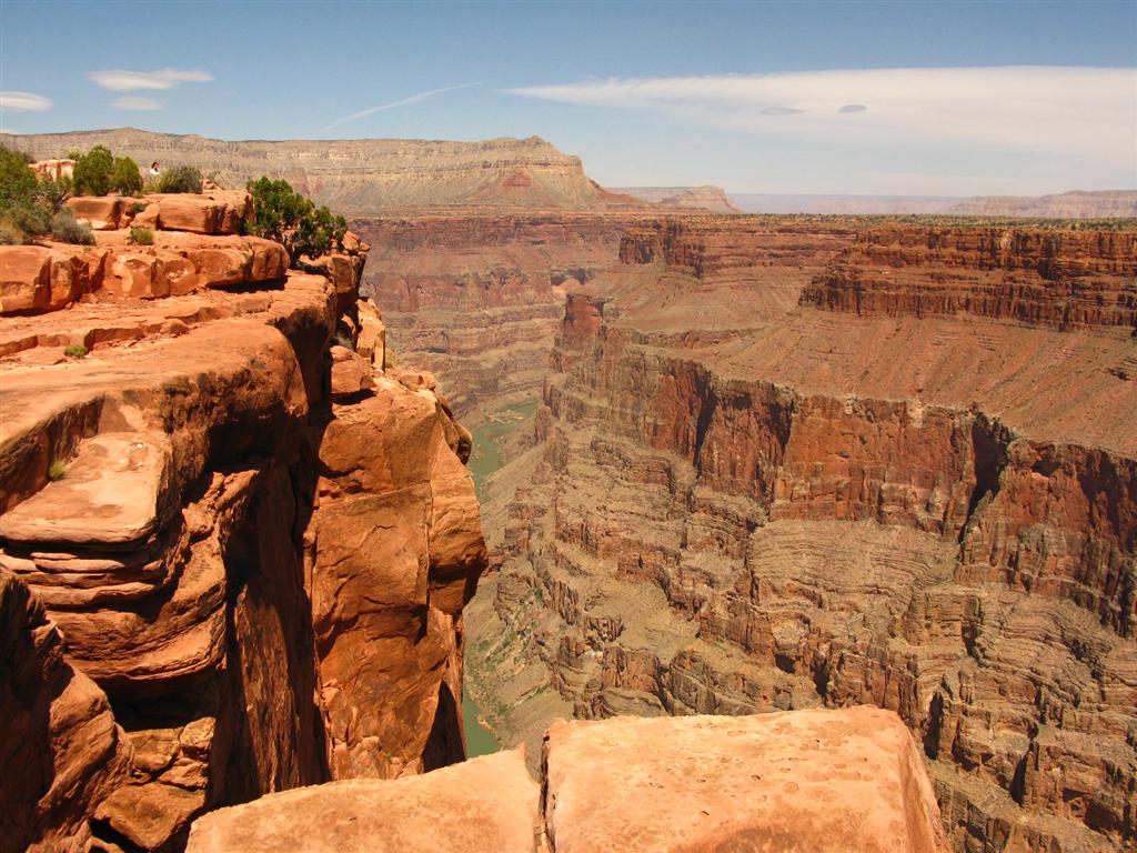
2. TWIN POINT
On the way
- IMG_0014 (Large).JPG (114.29 KiB) Viewed 25305 times
- IMG_0026 (Large).JPG (166.1 KiB) Viewed 25305 times
The Point
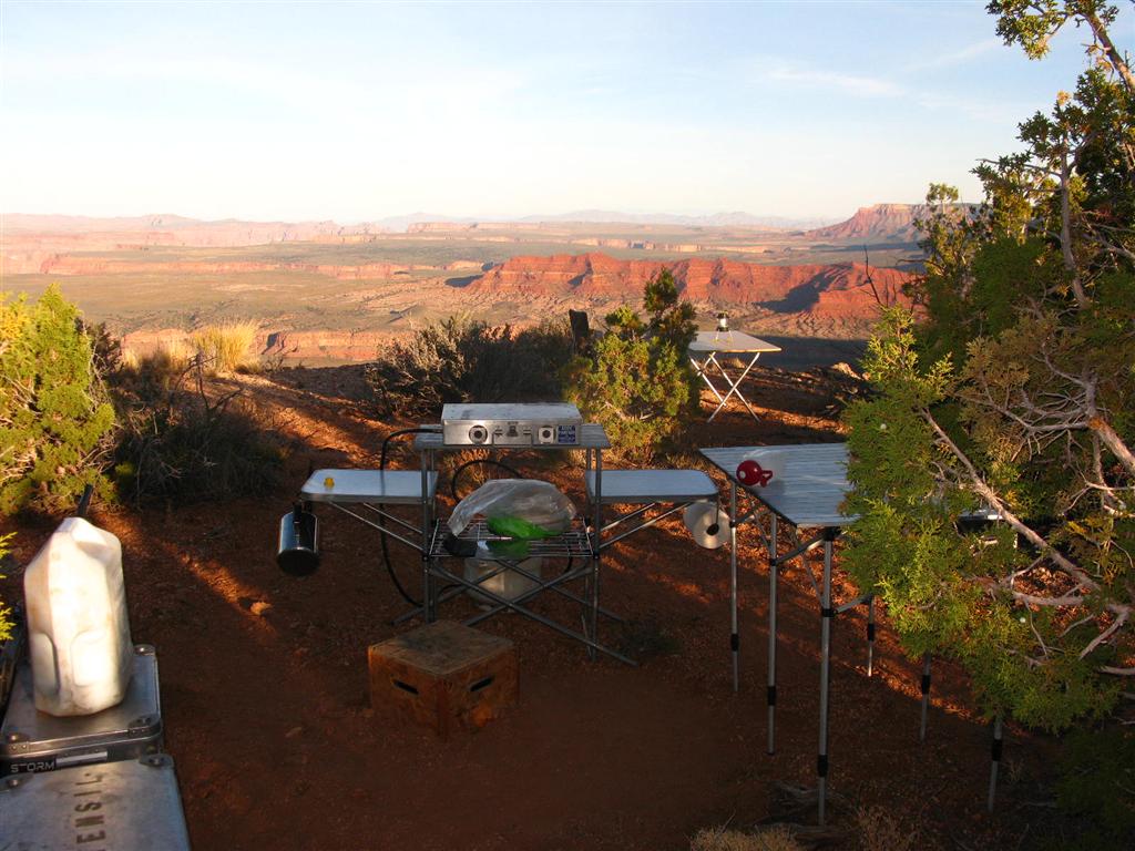
- IMG_0030 (Large).JPG (129.3 KiB) Viewed 25305 times
- IMG_0051 (Large).JPG (116.67 KiB) Viewed 25305 times
- IMG_0053 (Large).JPG (126.11 KiB) Viewed 25305 times
- IMG_0056 (Large).JPG (123.24 KiB) Viewed 25305 times
- IMG_0057 (Large).JPG (122.33 KiB) Viewed 25305 times
- IMG_0058 (Large).JPG (146.46 KiB) Viewed 25305 times
- IMG_0059 (Large).JPG (192.93 KiB) Viewed 25305 times
- IMG_0063 (Large).JPG (135.67 KiB) Viewed 25305 times
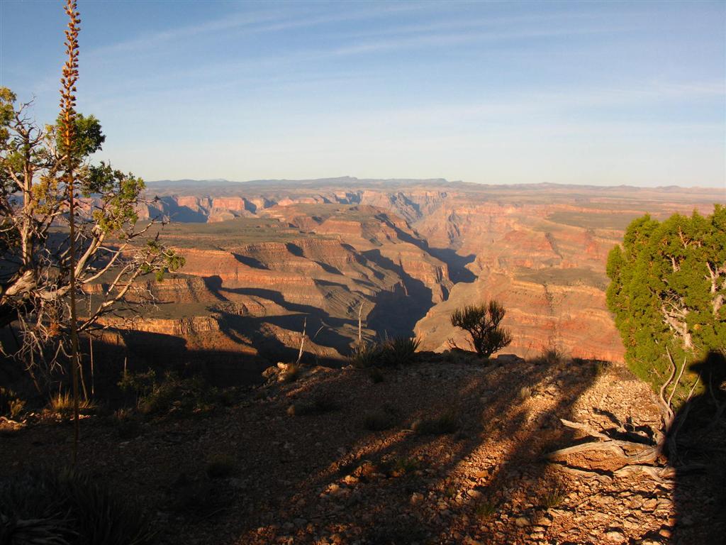
- IMG_0066 (Large).JPG (132.3 KiB) Viewed 25305 times
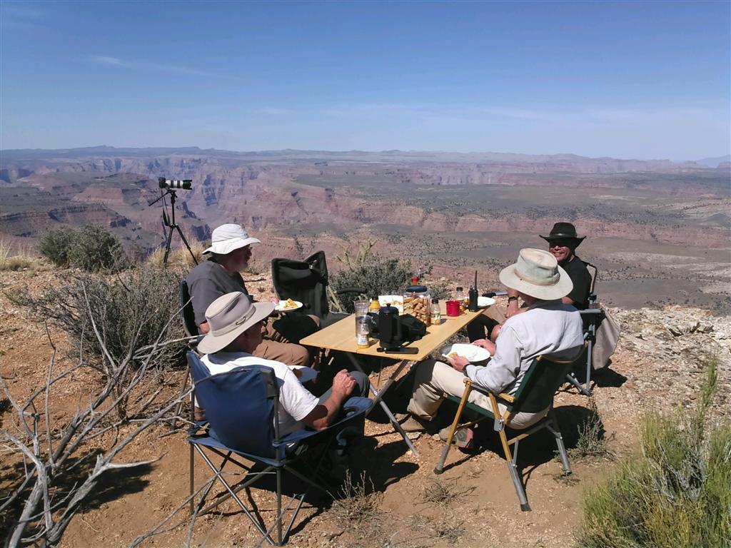
- Breakfast on the Rim (Large).jpg (140.61 KiB) Viewed 25305 times
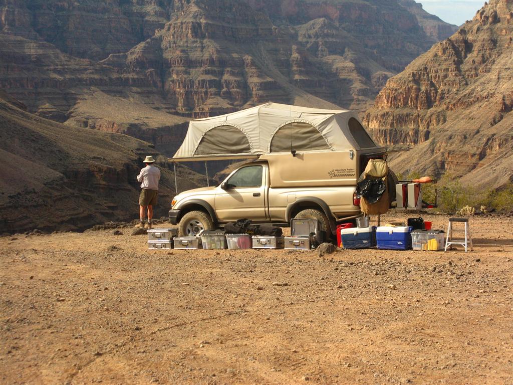
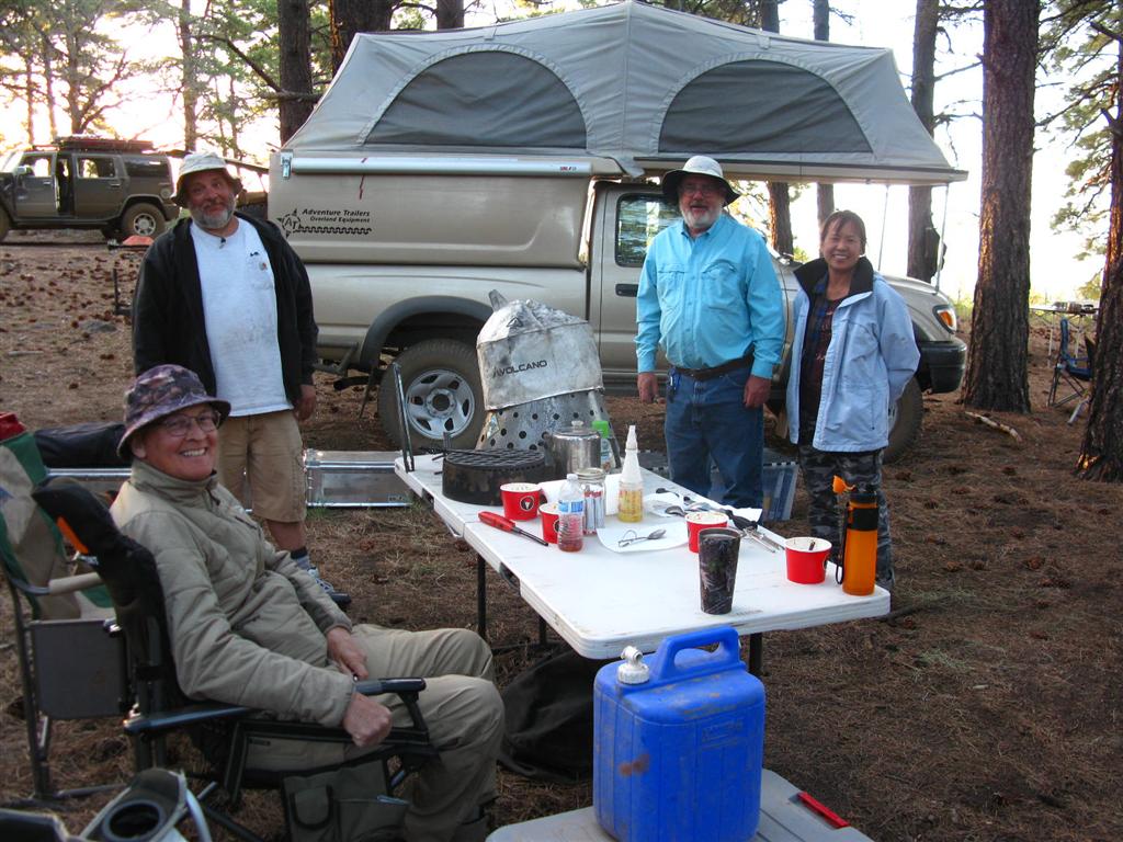
3. KELLY POINT
- IMG_0102 (Large).JPG (154.8 KiB) Viewed 25305 times
- IMG_0107 (Large).JPG (151.99 KiB) Viewed 25305 times
- IMG_0110 (Large).JPG (247.84 KiB) Viewed 25305 times
- IMG_0112 (Large).JPG (170.06 KiB) Viewed 25305 times
- IMG_0114 (Large).JPG (162.47 KiB) Viewed 25305 times
- IMG_0115 (Large).JPG (207.47 KiB) Viewed 25305 times
- IMG_0116 (Large).JPG (196.23 KiB) Viewed 25305 times
- IMG_0120 (Large).JPG (128.01 KiB) Viewed 25305 times
- IMG_0117 (Large).JPG (149.71 KiB) Viewed 25305 times
- IMG_0122 (Large).JPG (209.56 KiB) Viewed 25305 times
- IMG_0123 (Large).JPG (269.69 KiB) Viewed 25305 times
- IMG_0127 (Large).JPG (161.62 KiB) Viewed 25305 times
- IMG_0128 (Large).JPG (175.51 KiB) Viewed 25305 times
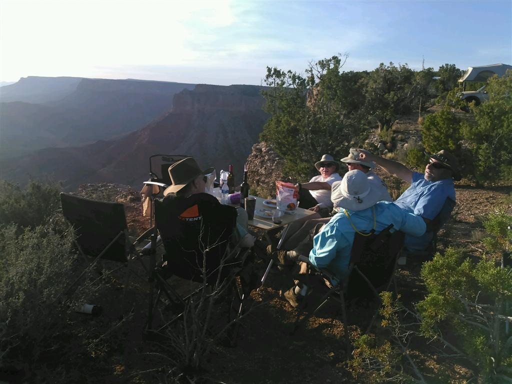
- Dinner on the Rim (Large).jpg (97.17 KiB) Viewed 25305 times
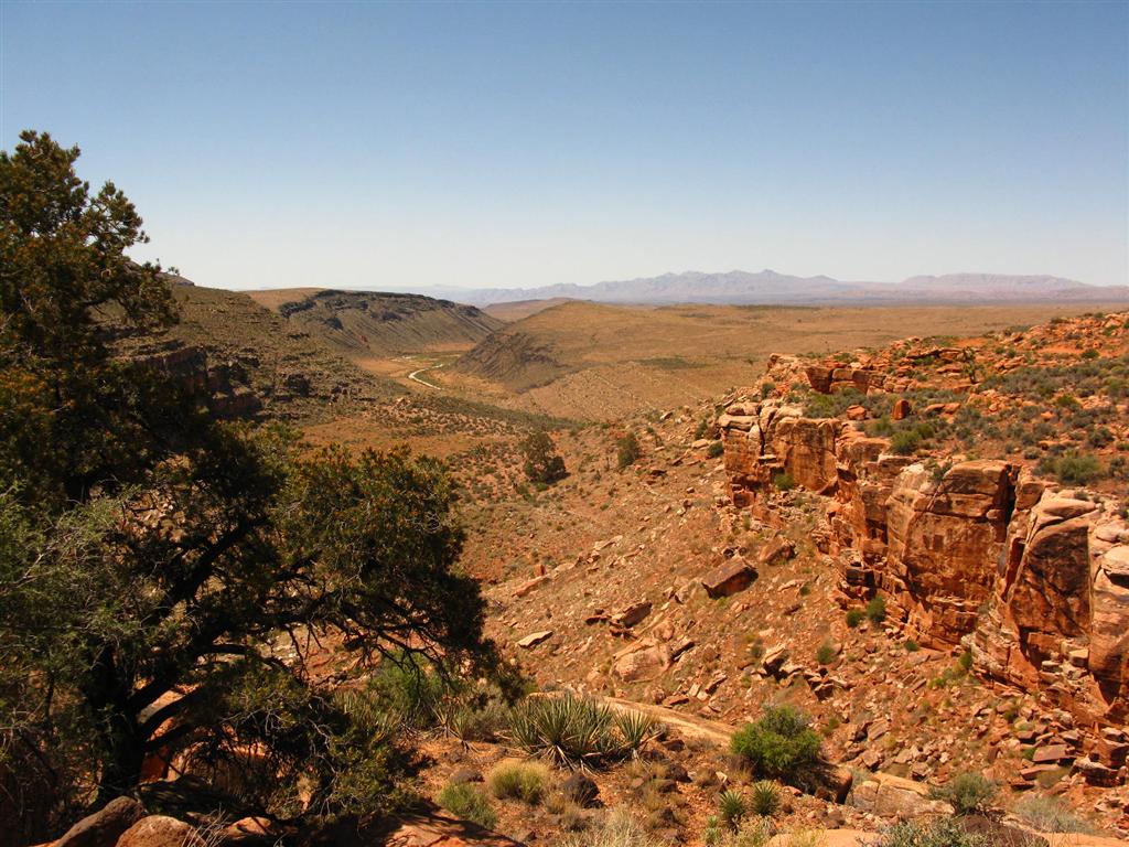
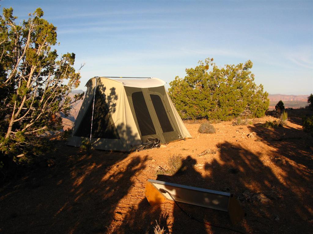
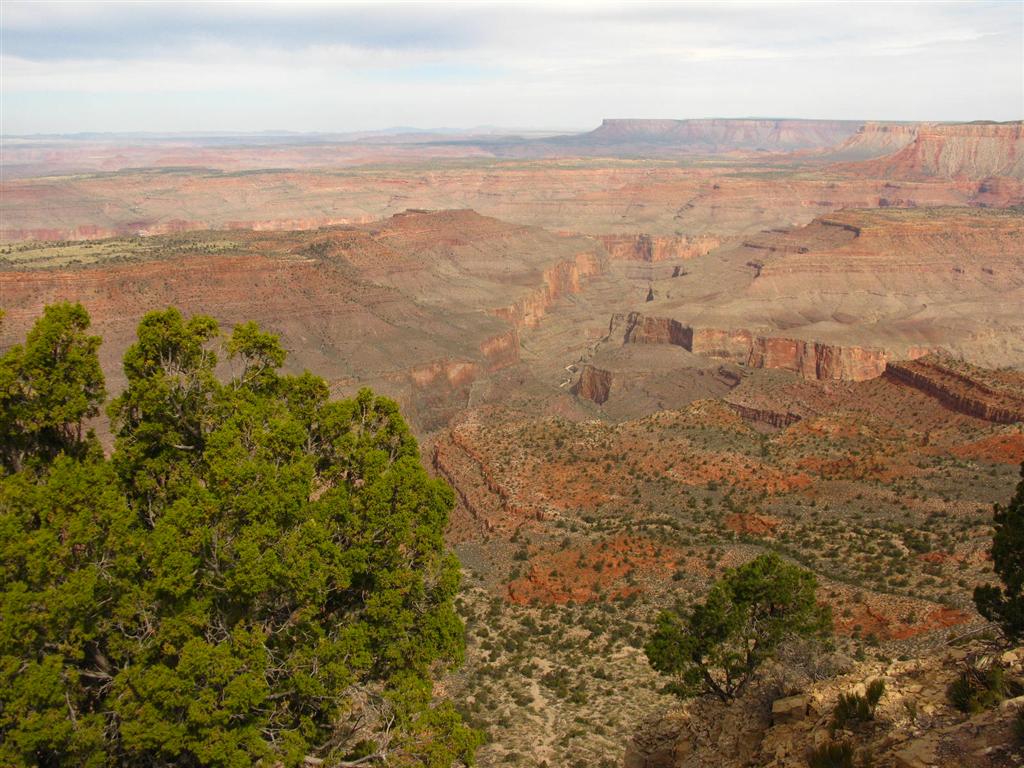
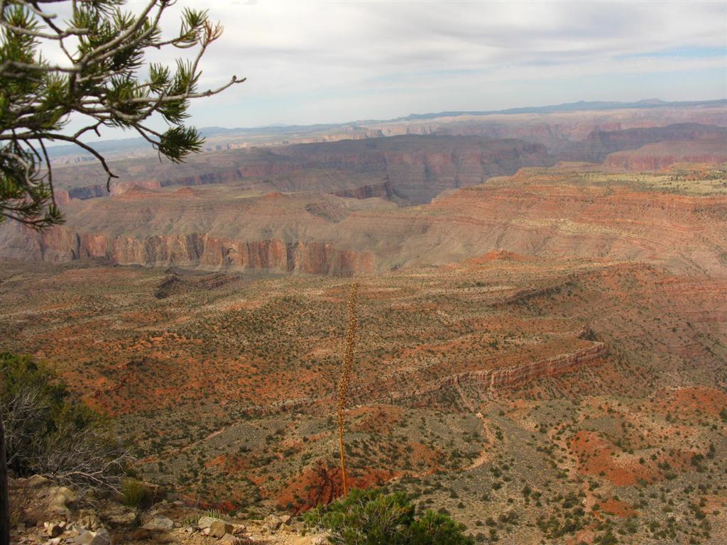
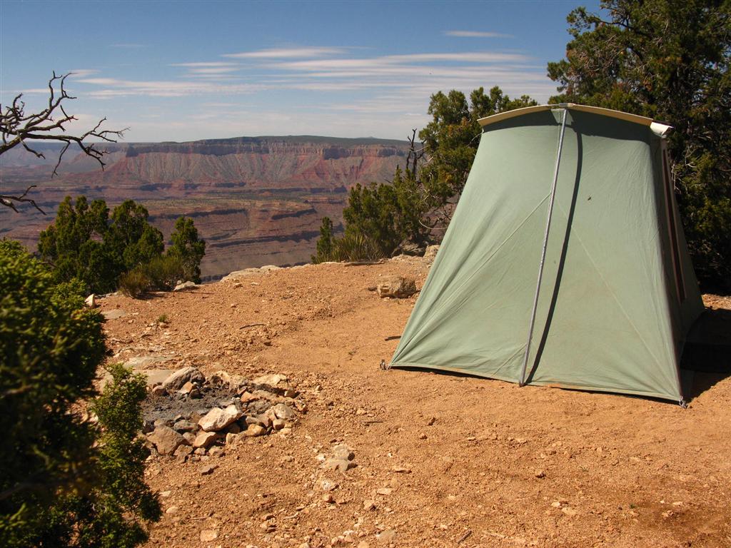
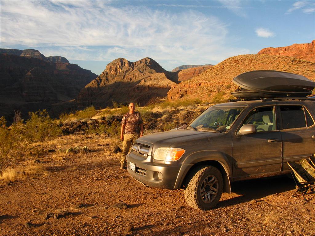
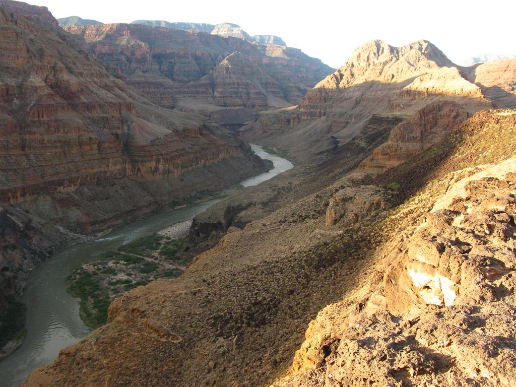
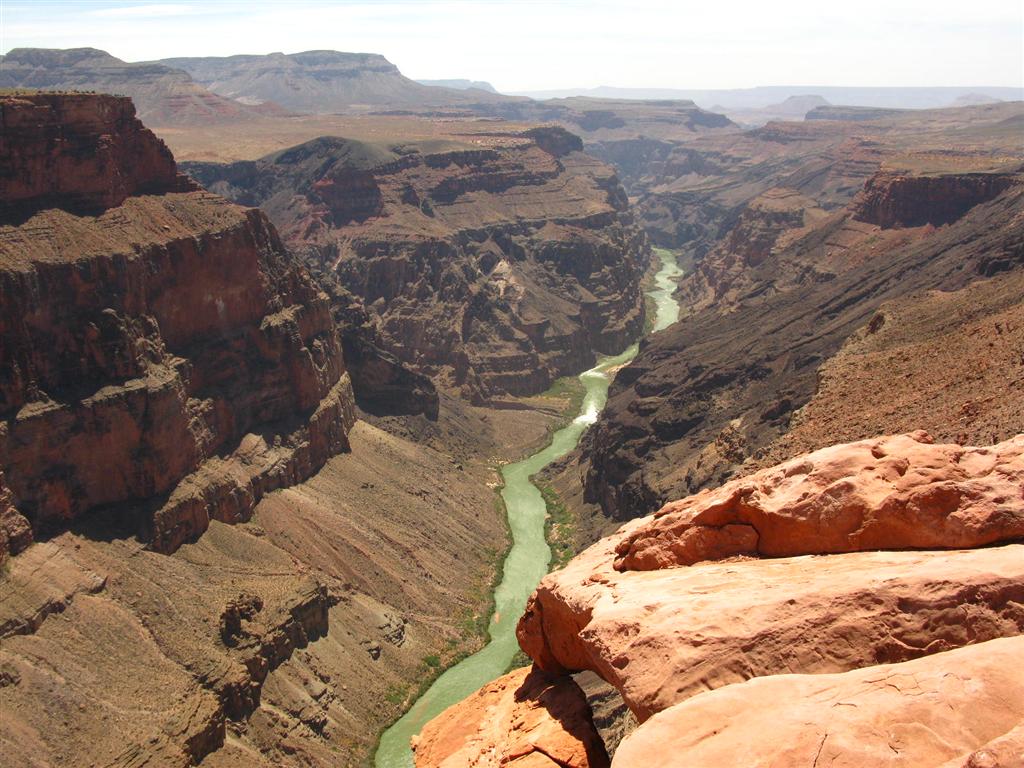
4. GRAND CANYON OVERLOOK AT THE END OF WHITMORE CANYON
- IMG_0155 (Large).JPG (144.79 KiB) Viewed 25305 times
- IMG_0156 (Large).JPG (164.35 KiB) Viewed 25305 times
- IMG_0158 (Large).JPG (165.24 KiB) Viewed 25305 times
- IMG_0160 (Large).JPG (178.41 KiB) Viewed 25305 times
- IMG_0161 (Large).JPG (147.3 KiB) Viewed 25305 times
- IMG_0164 (Large).JPG (110.58 KiB) Viewed 25305 times
- IMG_0165 (Large).JPG (185.22 KiB) Viewed 25305 times
- IMG_0166 (Large).JPG (181.79 KiB) Viewed 25305 times
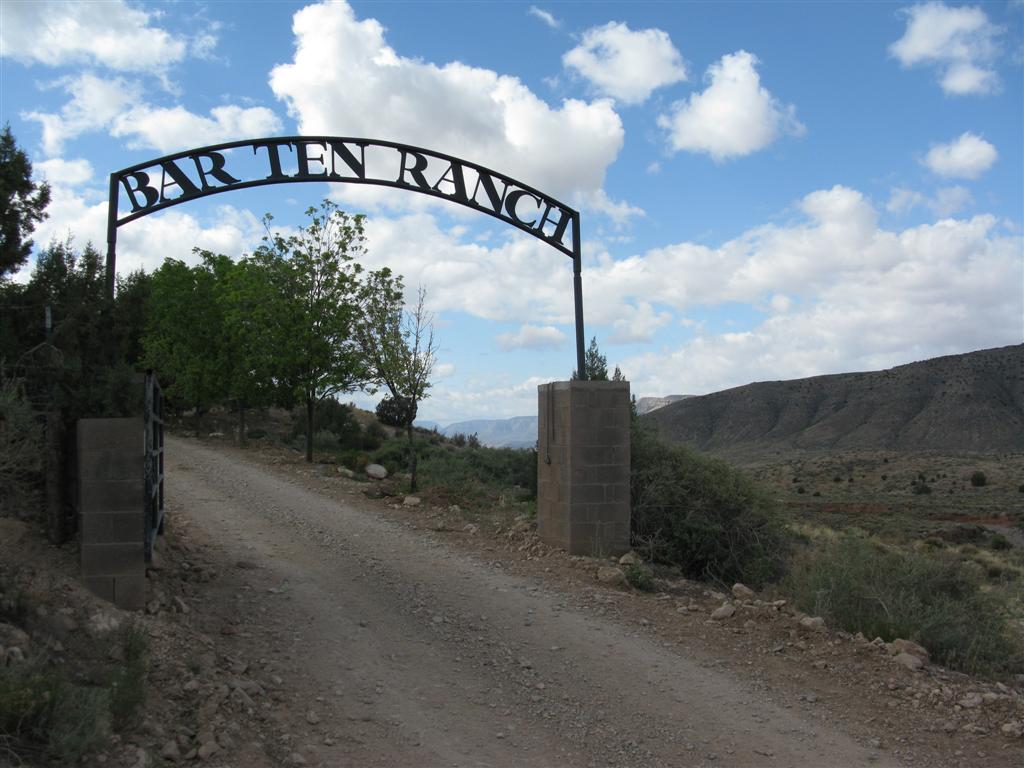
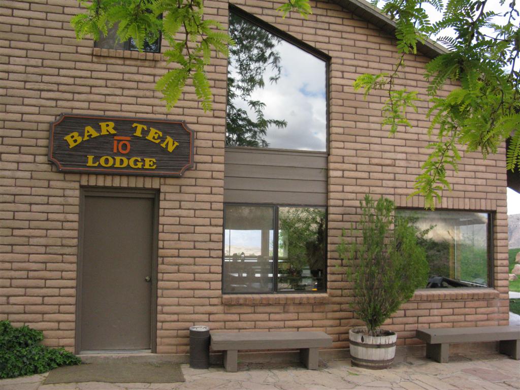
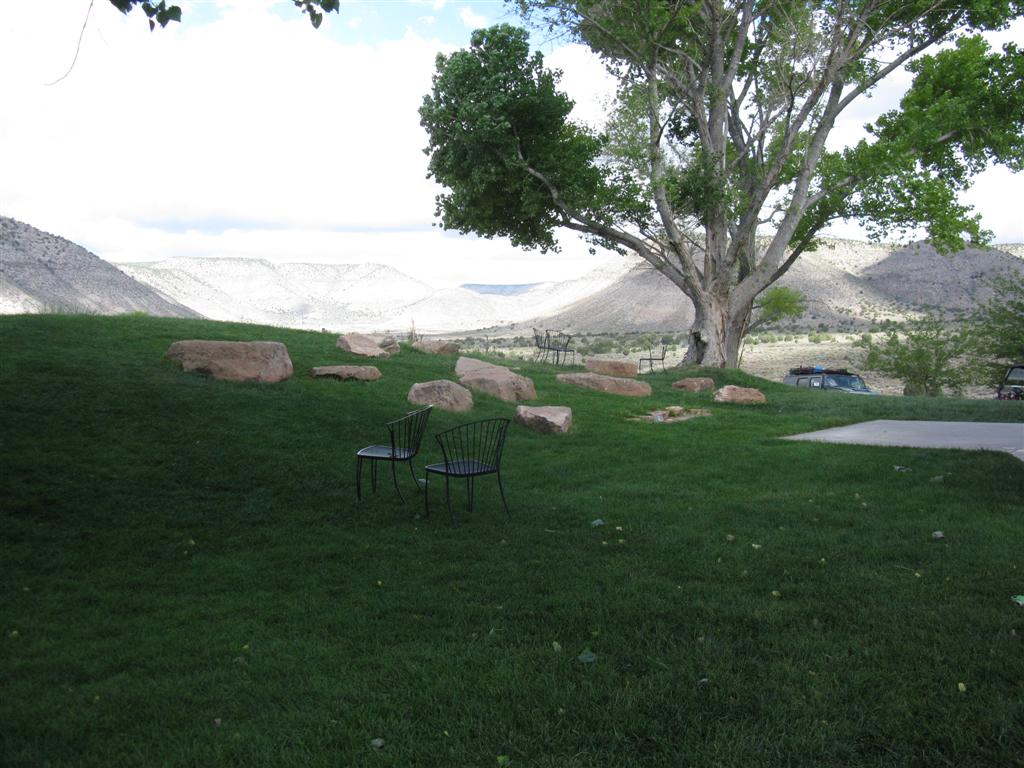
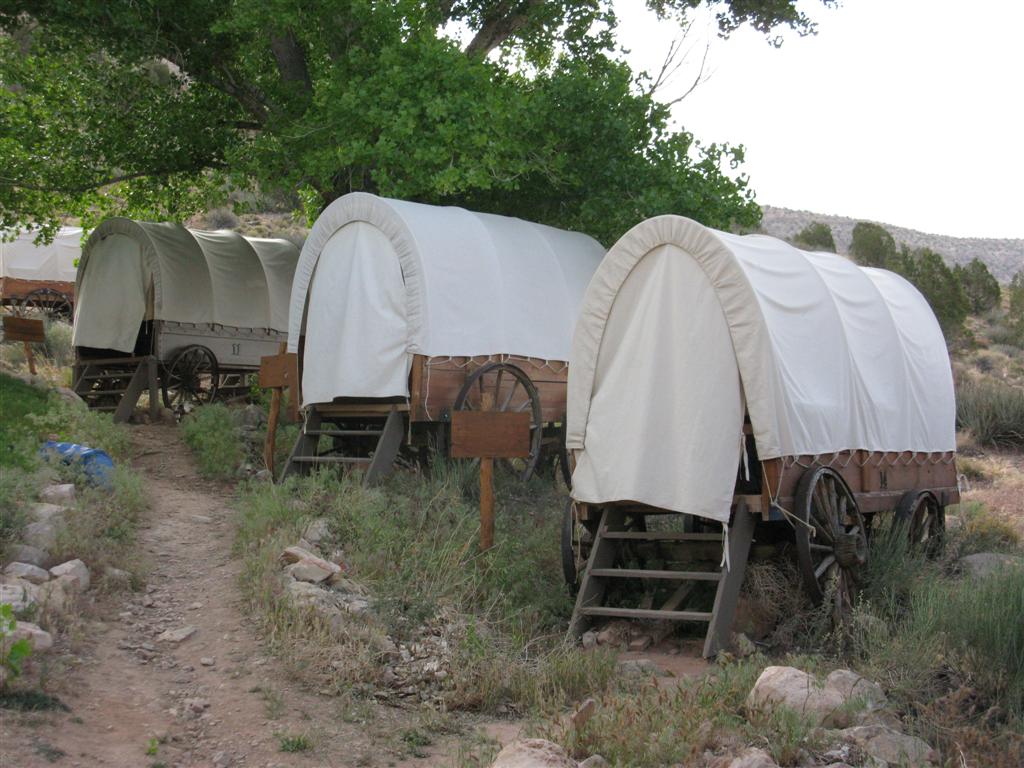
5. BAR 10 RANCH
The Bar 10 Ranch is an oasis in the otherwise remote wilderness of the Parashant. It serves as a drop-off point for people who only want to do a shorter river run through the Grand Canyon. Guests arrive at the ranch by air and leave the same way, to be dropped off at water level to board the rafts. We spent one day at the Ranch in their covered wagons. Accommodations included fantastic meals, hot water showers, comfortable lounging areas, and a bit of entertainment after dinner. We had arranged to, and did, in fact, stock up on water as we left. But, the big surprise was that they also were able to sell us gasoline. That little benefit saved a trip to St George for one of our members. All things considered, this was a wonderful opportunity to enjoy some genuine ranch hospitality, cooking and accommodations. If you are anxious to introduce family or friends to a wilderness experience, this is an excellent way to ease them into the camping scene,
- Bar 10-1.JPG (107.64 KiB) Viewed 25297 times
- Bar 10-2.JPG (140.76 KiB) Viewed 25297 times
- Bar 10-3.JPG (128.67 KiB) Viewed 25297 times
- Bar 10-4.JPG (130.42 KiB) Viewed 25297 times
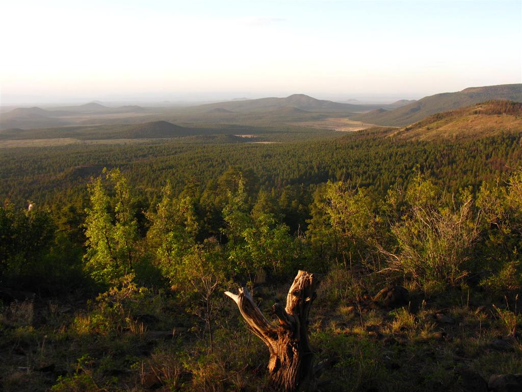
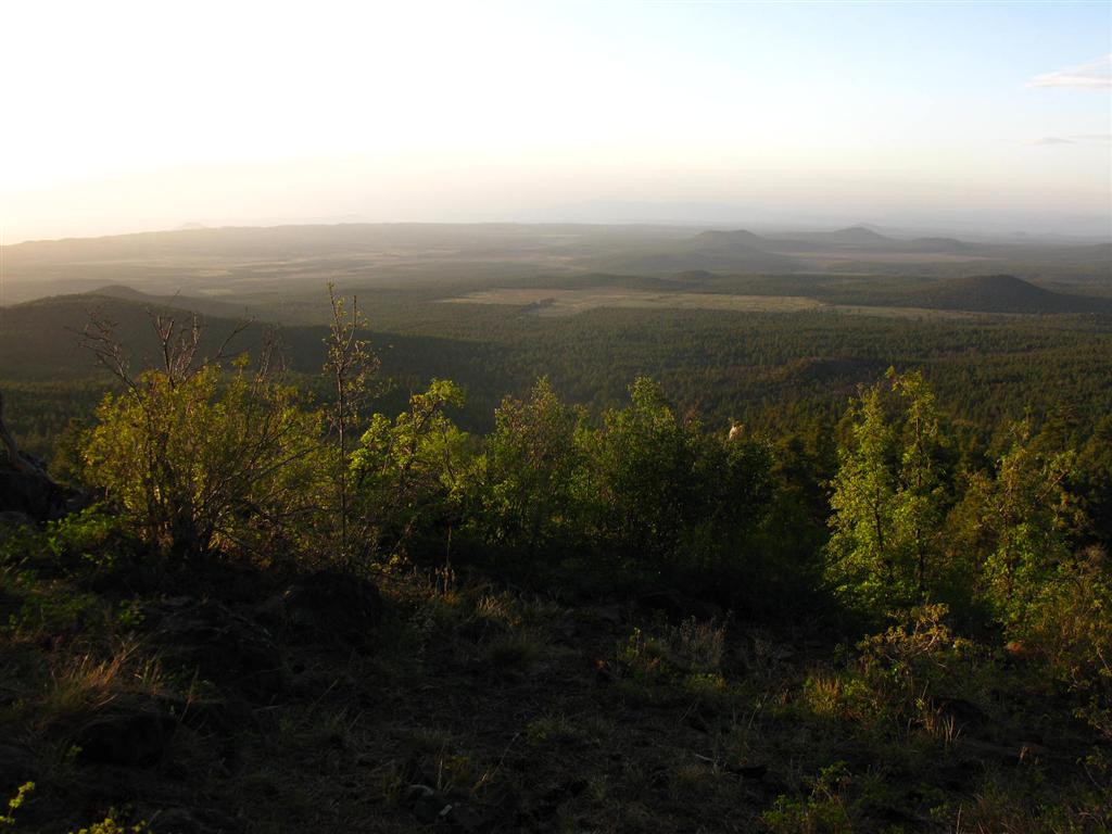
6. MT. LOGAN
Camp at the top of Mt Logan was at 7500 feet. The weather was a huge change from the GC Overlook (cooler that is!) and the views from the top were sensational.
- IMG_0183 (Large).JPG (208.69 KiB) Viewed 25297 times
- IMG_0181 (Large).JPG (128.06 KiB) Viewed 25297 times
- IMG_0180 (Large).JPG (95.17 KiB) Viewed 25297 times
- IMG_0187 (Large).JPG (170.73 KiB) Viewed 25297 times
- IMG_0176 (Large).JPG (226.4 KiB) Viewed 25297 times
- IMG_0188 (Large).JPG (151.31 KiB) Viewed 25297 times
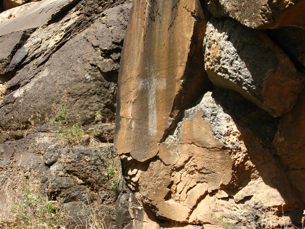
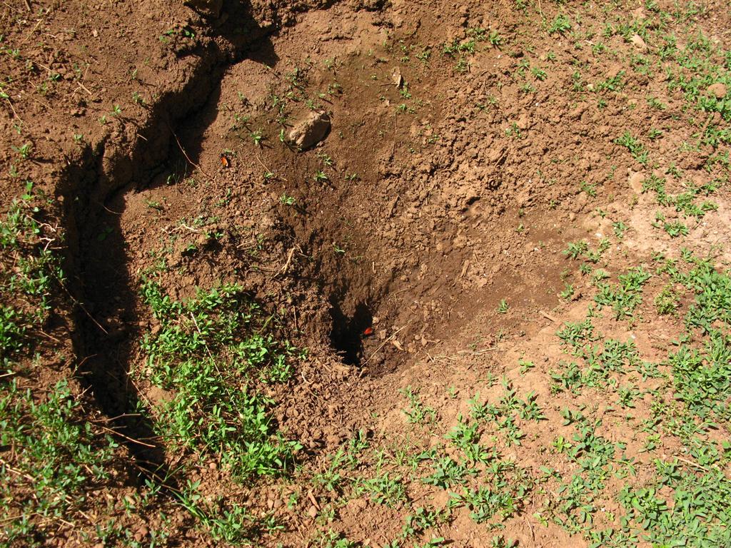
7. WITCHE'S WATER POCKET
The Witche's Water Pocket was made famous by John Wessley Powell in the 1870s when he was exploring the Colorado River and the plateaus surrounding it. In Powell's Journal, he describes it as a consistent water source, but when we visited, it was a bit dry and nothing more than a damp spot in the dirt. It did contain water during our last visit, however. (For a little more history, see:
http://www.grandcanyonhistory.org/Publi ... 2006_3.pdf) The Cross, which is seen in the first photo below, was placed there over 100 years ago and is proof that this was the pocket to which Powell referred.
- IMG_0198 (Large).JPG (217.76 KiB) Viewed 25305 times
- IMG_0195 (Large).JPG (245.91 KiB) Viewed 25305 times
- IMG_0200 (Large).JPG (293.63 KiB) Viewed 25305 times
- IMG_0204 (Large).JPG (236.88 KiB) Viewed 25305 times
- IMG_0207 (Large).JPG (104.31 KiB) Viewed 25305 times
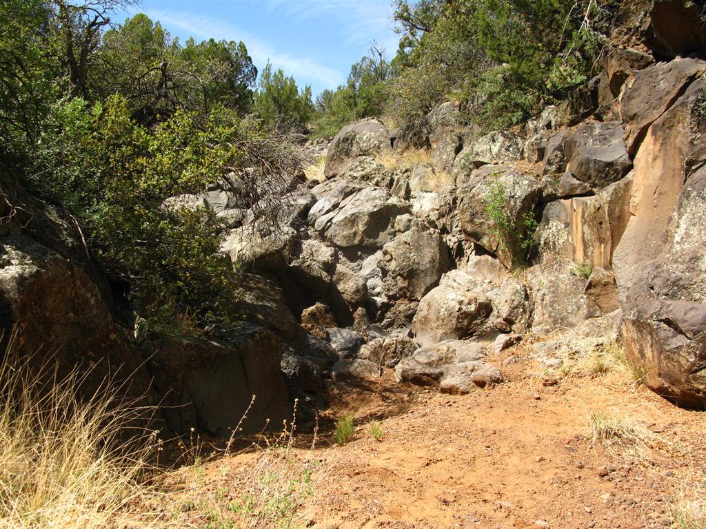
7. TOROWEAP
- IMG_0225 (Large).JPG (151.81 KiB) Viewed 25297 times
- IMG_0214 (Large).JPG (162.5 KiB) Viewed 25297 times