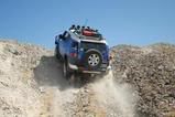
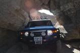
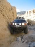
I didn't take as many pictures as Shuly did (or nearly as good...

) , but here are the few that I did take. And they are just cell phone pics.
This was a road that ran up to the left of Whiteside Mine. From here you can get to a few of the vertical shafts. The road continues on up the hill, but I didn't continue as it looked to get a bit rougher and I was solo at this point.

Did a little exploratory run, and found this camp site. This was the site we stayed at for night 2.

The repeaters at the top of Mazourka Peak.

Went for a hike to the top of the hill near the camp site. You can see the camp site just down and left of middle. In the background are the Sierras and Owens Valley.


At the top was Mexican Hat Mine.

And to the left of camp you can see Badger Flat

The next day as we were on the road, 36E15 headed to Papoose Flat, I saw this little guy..


And as we continued we found a tree that fell directly across the road.

Shuly drove around and then winched the tree out of the way.

It was still partially rooted in the ground before Shuly pulled it to the side.

Heading through Harkless Flat.


 _
_ _
_