May 11th & 12th, 2013
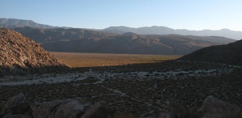
I'm planning on one of our last trips into the desert before it gets too hot out. Its been awhile since I've visited Coyote Canyon and hiked to various hidden waterfalls reached from Collins Valley. We'll probably take our time heading out on Saturday and maybe stop by Green Valley Falls in the Cuyamaca Rancho State Park along the way. That's where I proposed to my wife seven years ago, so I think she'd enjoy a quick visit there. Feel free to post up if you're interested!
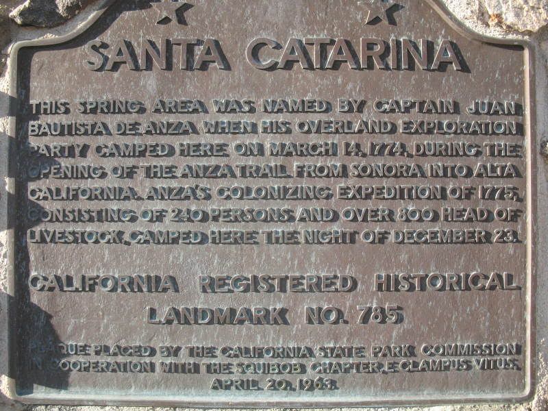
Lower Coyote Canyon Trail travels up the canyon wash, passing close to a campsite of the second Juan Buatista de Anza expedition in 1775. Hand-dug wells produced enough water for nearly 800 head of stock and more than 200 people.
The expedition, from Tubac in what was then Sonora, Mexico (now part of Arizona) would take five and a half months to reach Alta California. Juan Bautista de Anza first passed through the Borrego Valley in March 1774, on his first route-finding mission to the new Spanish settlements in California. Santa Catarina Springs was their campsite on March 14, 1774.
The winter was harsh that year, and many expedition members suffered, including Gertrudis Rivas, an expectant mother. The expedition battled its way across the Yuha Desert through winter snows, following San Felipe Creek through the Borrego Badlands before heading up the daunting Coyote Canyon. Gertrudis went into labor on Christmas Eve near Middle Willows Spring, just north of Collins Valley past the end of the vehicle trail. She gave birth to a son whom she named named Salvador, meaning "savior" in Spanish. The child's name lives on in Salvador Canyon on the northwest side of Collins Valley.
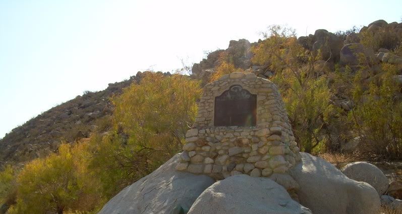
"Near this spot on christmas eve, 1775, was born one of California's first white children, Salvador Ignacio Linares. His mother, senora Gertrudis Linares, was a member of the colonizing expedition of Juan Bautista De Anza from western Mexico to Alta California. Here in Coyote Canyon, the child was baptized on christmas day.
Marker placed by California Centennials Commission. Base furnished by roads to romance association INC. 1950."
Remote Sheep Canyon, secreted in the middle reaches of Coyote Canyon in Anza-Borrego Desert State Park, features some of the most rugged yet beautiful terrain in San Diego County. The canyon has two main forks (labeled Sheep Canyon and South Fork Sheep Canyon on maps), both containing trickling streams, full-skirted California fan palms, large sycamores, willowy cottonwoods, grottos with waterfalls, and boulder-sized rocks by the millions. The streams in both of Sheep Canyon’s forks usually flow throughout the spring season.
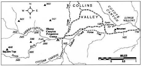
Set in the heart of Coyote Canyon, Collins Valley was named just after the turn of the twentieth century for a squatter named Collins. He took the opportunity to jump claim on an earlier homesteader's property.
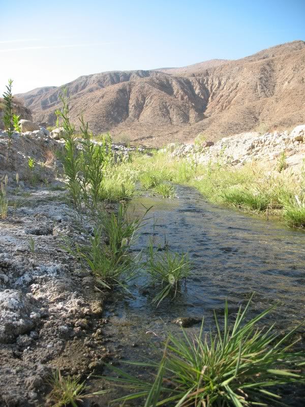
Coyote Canyon runs from Anza to Borrego Springs and offers two separate vehicle trails, one from the north and one from the south. Of the two, the southern approach is more popular with hikers and four-wheelers. For eight months of the year, hikers, horses, and mountain bikers can connect the two trails via a 3-mile section of the canyon between Middle and Upper Willows. Between June 1 and September 30 each year, Coyote Canyon is closed to all users to protect water sources for the rare peninsular bighorn sheep. A seasonal closure gate after Second Crossing restricts users during this time.
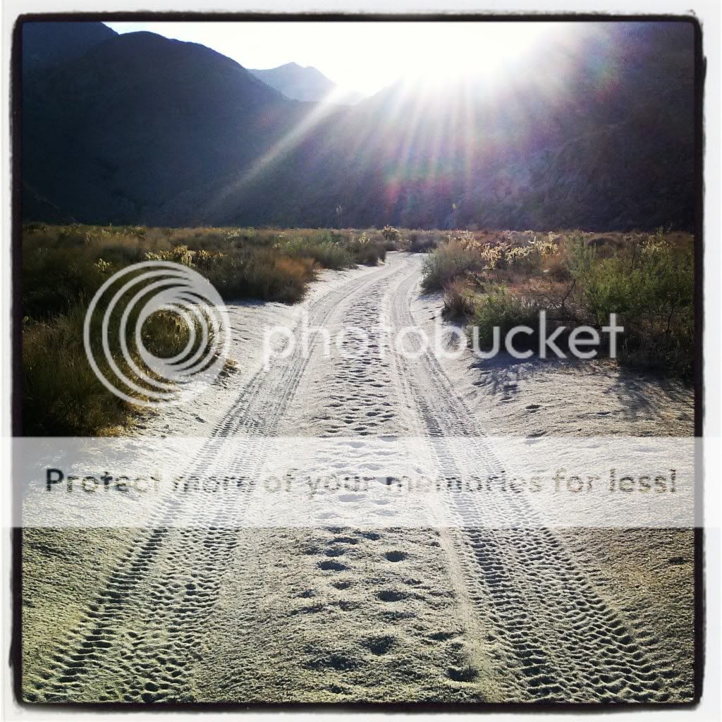
The trail leaves from Borrego Springs to the north, passing the historical marker commemorating Sebastian Tarabal. It passes the graded road to Vern Whitaker Horse Camp before leaving the citrus groves behind and entering Anza-Borrego Desert State Park up a formed, sandy trail. There are three crossings of Coyote Creek; the first is usually dry, the others normally have year-round water that may be up to 24 inches deep.
The difficult stretch of trail comes a short distance after Third Crossing. The trail ascends a steep, rocky pinch that consists of loose, fist-size rocks and large embedded boulders. Careful wheel placement is needed to keep the undercarriage off the rocks. With an experienced driver at the wheel and a bit of care, most stock SUVs will make the ascent. Once at the saddle, looking north into Collins Valley, the difficult part of the trail is over–although you do have to re*turn the way you came. The trail reverts to a smooth, sandy surface as it descends into Collins Valley.
