
COWLES MOUNTAIN via BARKER WAY & MESA TRAIL | MISSION TRAILS REGIONAL PARK, SAN DIEGO
Distance: 3.2 miles
Elevation Gain/Loss: 1722'/1768'
Date: 01-20-2015
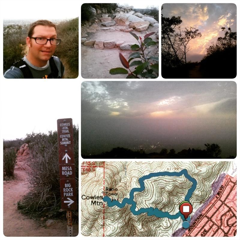
As both the highest peak in San Diego and one of the most popular hiking destinations in the county, Cowles Mountain is better known for spectacular views of Southern California than quiet, wilderness solitude. Indeed, the popular southern route that begins near the corner of Navajo Road and Golfcrest Drive accommodates at least several hundred hikers daily. But start your hike just a little more than a mile to the east, and you can have the same superb hiking and sweeping vistas that make Cowles so popular with a fraction of the south-route crowds, not to mention an easier time finding a parking spot.
Hike #7
TORREY PINES STATE RESERVE | LA JOLLA, CA
Distance: 2.75 miles
Elevation Gain/Loss: 958'/958'
Date: 01-24-2015
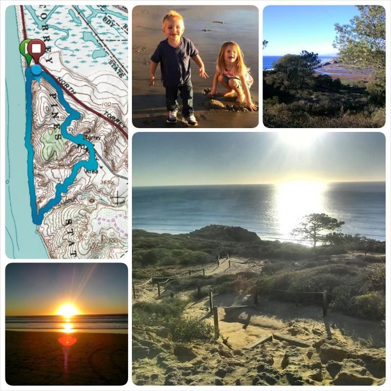
It was an afternoon well spent with family and friends. The kids had a blast!
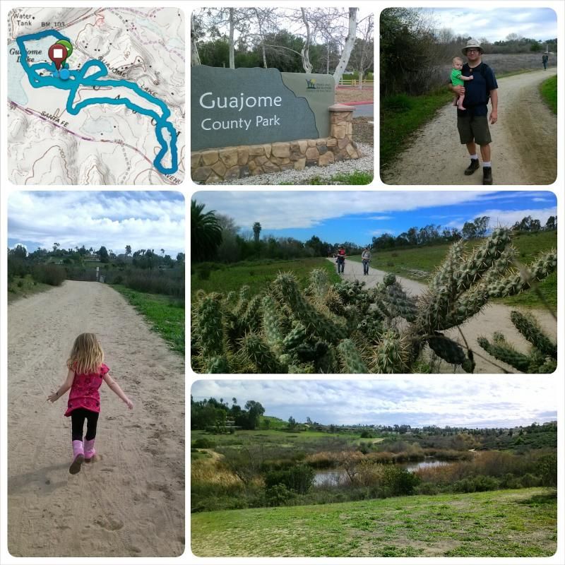
Hike #8
GUAJOME COUNTY PARK | OCEANSIDE, CA
Distance: 4.3 miles
Elevation Gain/Loss: 614'/696'
Date: 01-25-2015
Hike #9
GRASSLANDS LOOP to OAK CANYON | MISSION TRAILS REGIONAL PARK
Distance: 5 miles
Elevation Gain/Loss: 625'/625'
Date: 01-31-2015

A daddy/daughter hike from the grasslands loop to Oak Canyon falls was a great way to spend the afternoon (even though I had to carry her on my shoulders on the way back) and made for the 9th hike for my participation in the #52HikeChallenge.
Total Distance: 40.2 miles
Total Elevation Gain/Loss: 9,838'/9,966'