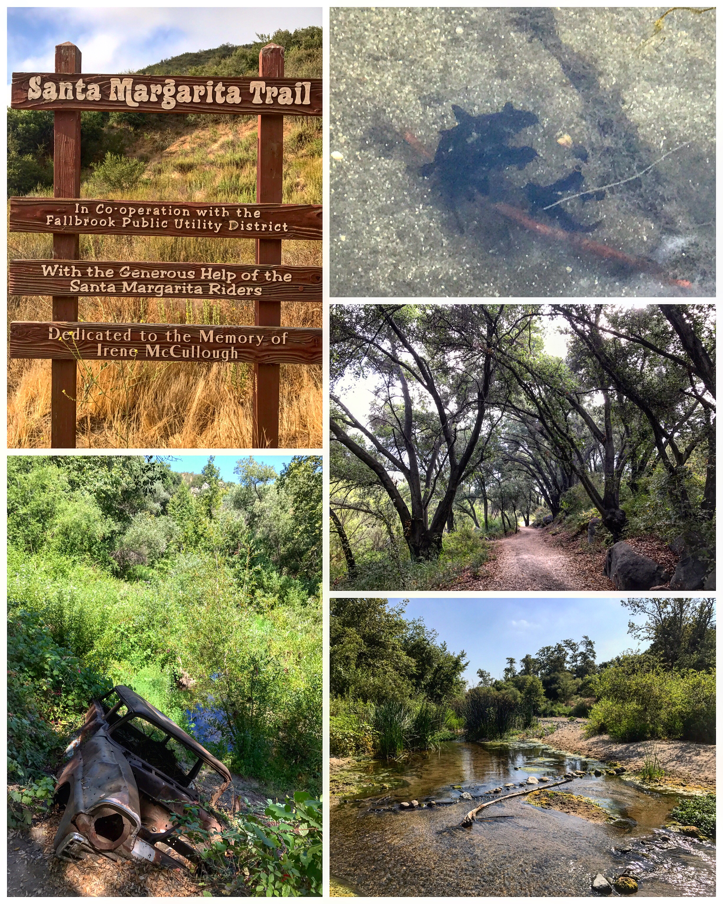
#39 Santa Margarita River Trail
6.5 miles | +1200'
- 2A223908-C78F-49B8-A465-D3484529B958.jpeg (3.42 MiB) Viewed 146165 times
- BB1D6C55-FEFA-475A-87A0-95C541FBDF05.jpeg (5.46 MiB) Viewed 146165 times
- 37AE1E32-608F-439A-9EA7-8D18C56911A1.jpeg (3.22 MiB) Viewed 146165 times
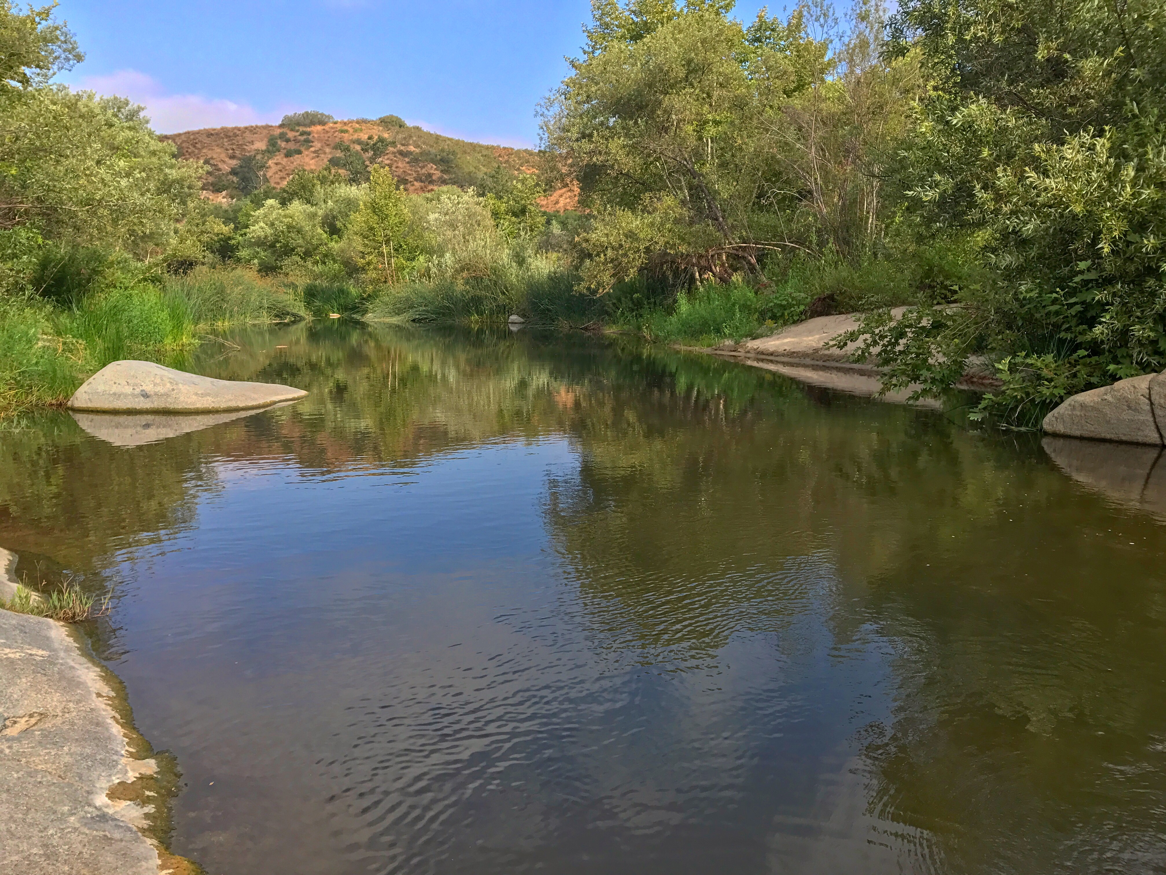
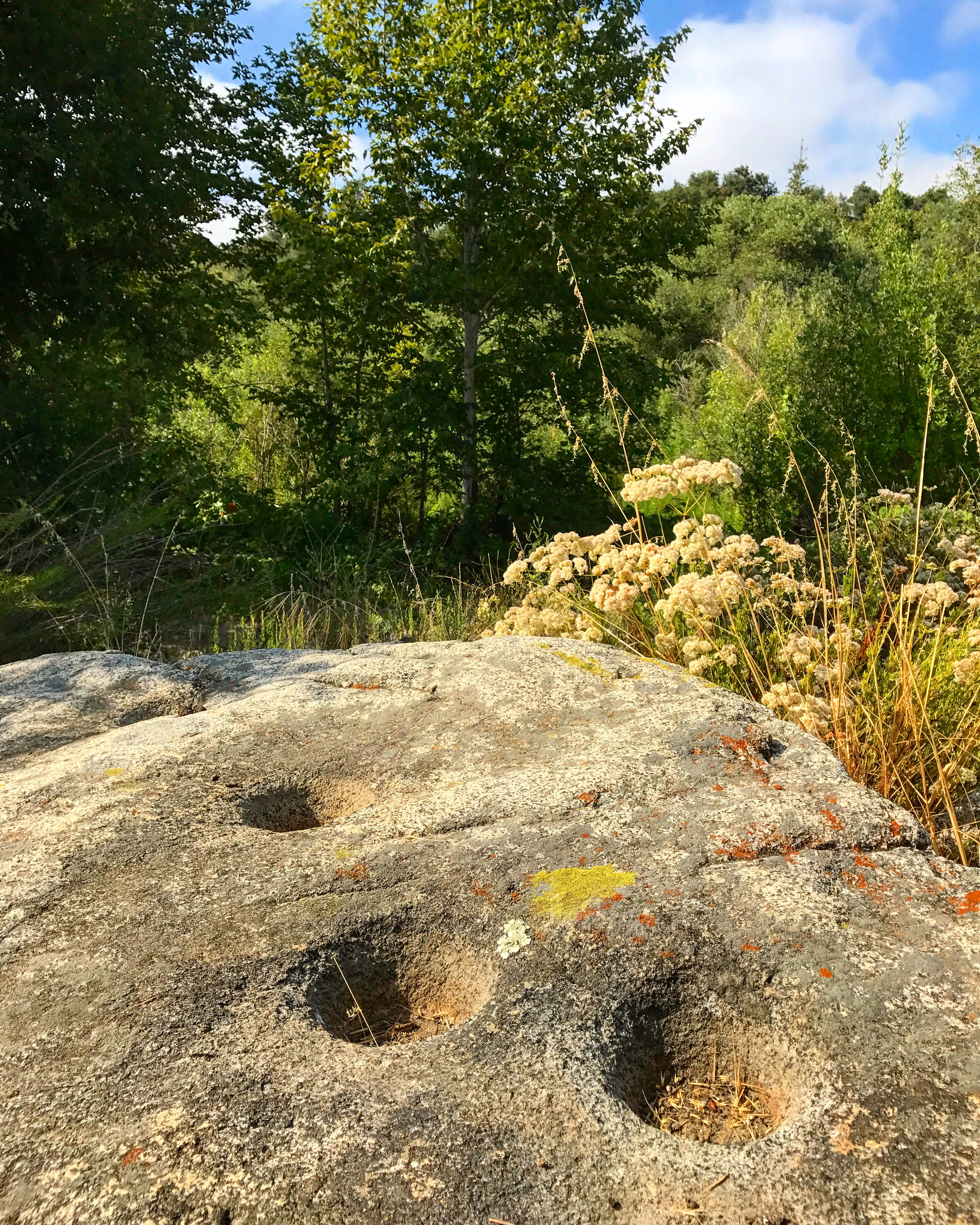
A wild and scenic section of the Santa Margarita River, a part of the last undammed major watercourse in San Diego County, is open to visitation by self-propelled explorers, courtesy of the Fallbrook Public Utilities Department and the Fallbrook Land Conservancy (an advocacy group). A rather free-form recreational trail, for hikers, horses and leashed dogs, incorporates fragments of earlier dirt roads, paths, and an old railroad grade, and wends its way nearly three miles along the south bank of the river. Additional looping side paths descend to the sandy banks of the river itself.
Come here to experience a free-flowing river with abundant water. The river peacefully flows under a canopy of tall trees, between banks lined with dense riparian growth. It is a cool, refreshing place for a summer hike, but delightful at any time of the year.
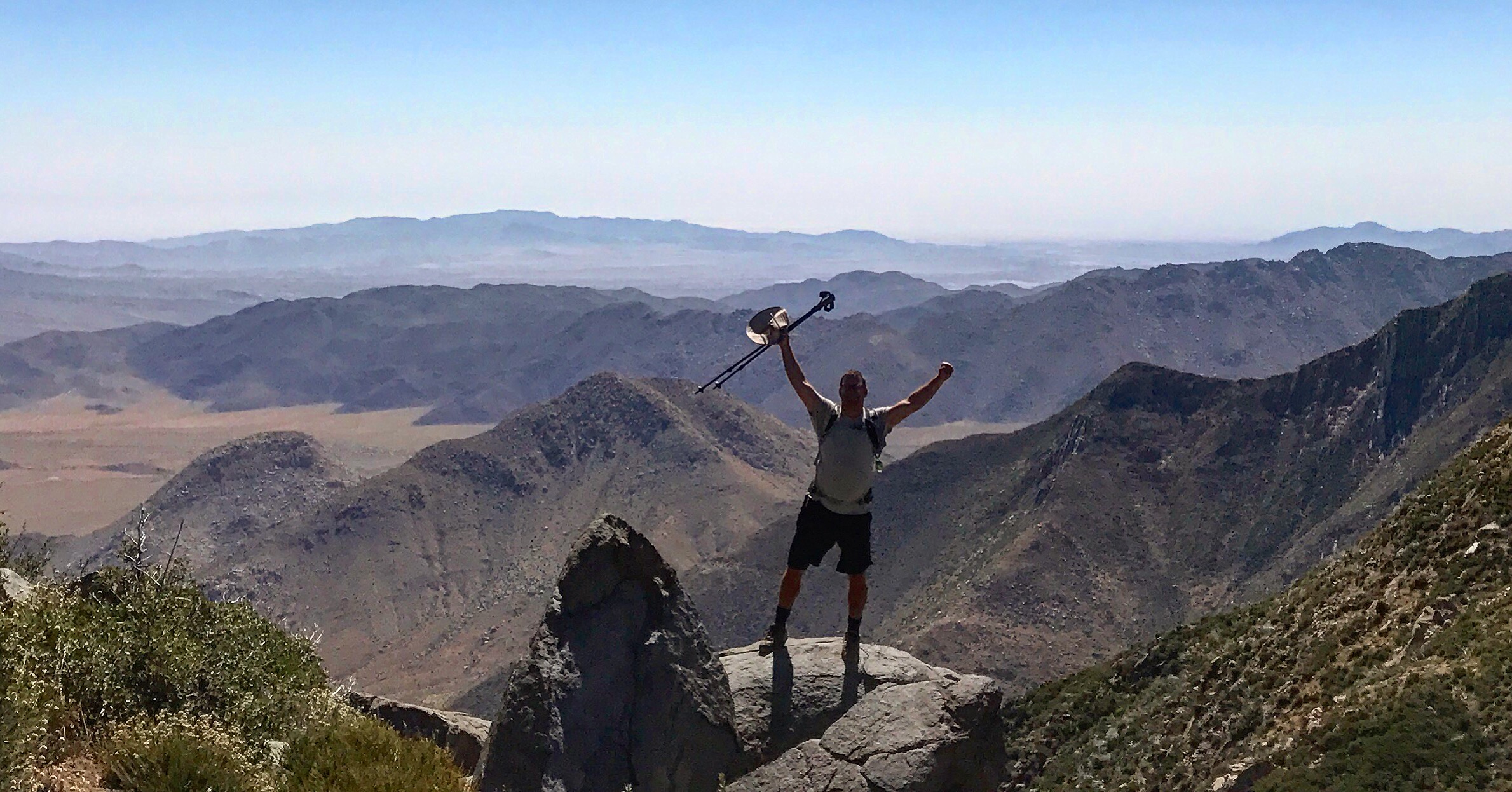
#40 Indian Creek Loop
8.5 miles | +1200'
- 628E86A8-D966-4DD7-8219-A339CDC0B2CC.jpeg (765 KiB) Viewed 146165 times
- 1CBE5875-8AE5-42E8-A3A3-AE9B17235388.jpeg (865.16 KiB) Viewed 146165 times
- FE37A7BA-D9A4-4136-82C6-8B708CB77F2E.jpeg (3.63 MiB) Viewed 146165 times
- CF0052CD-F243-4DC1-992D-FD28EA1978B0.jpeg (3.27 MiB) Viewed 146165 times
- 56639E21-24C7-4FE8-88AE-15C35E28C5A4.jpeg (2.56 MiB) Viewed 146165 times
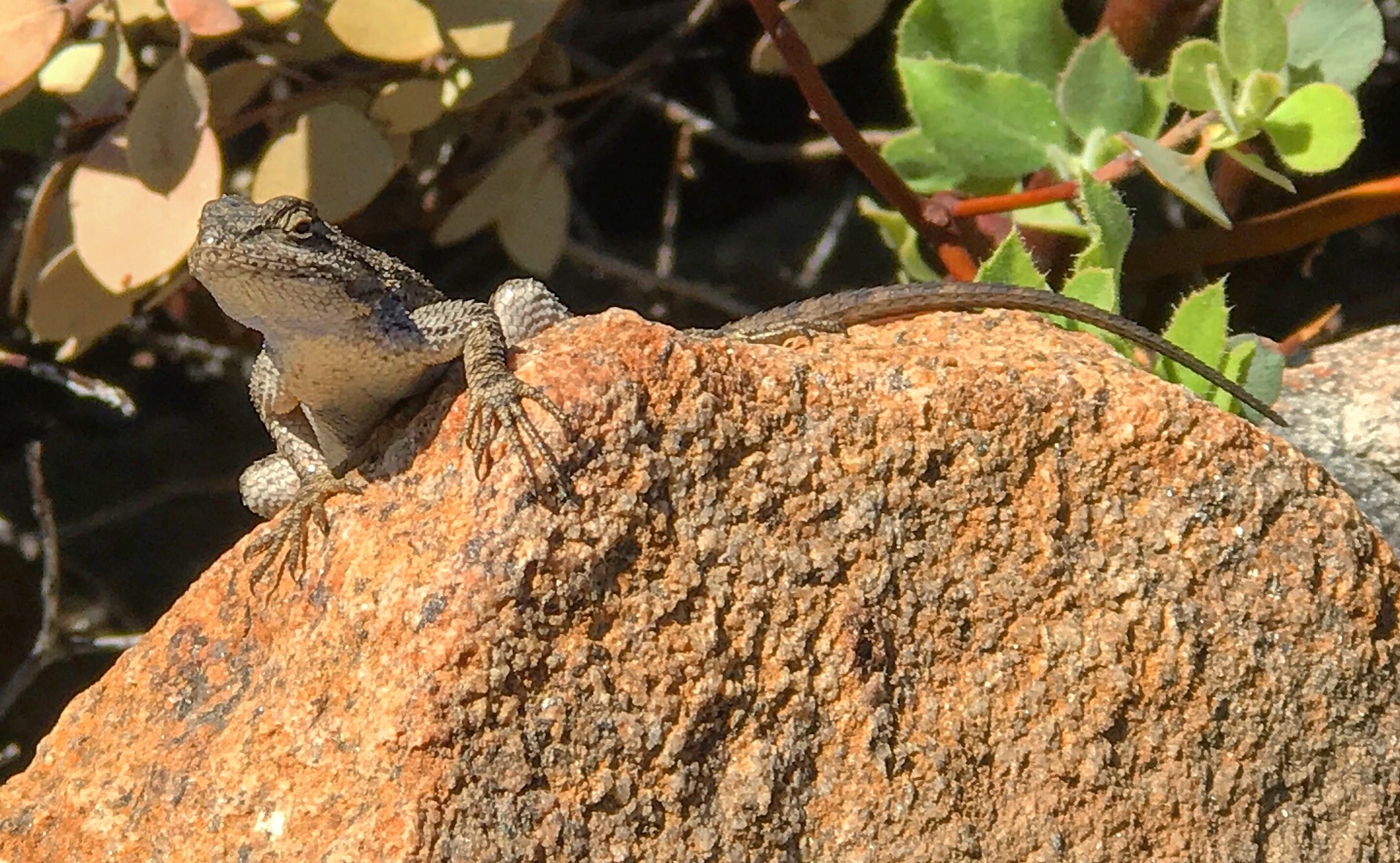
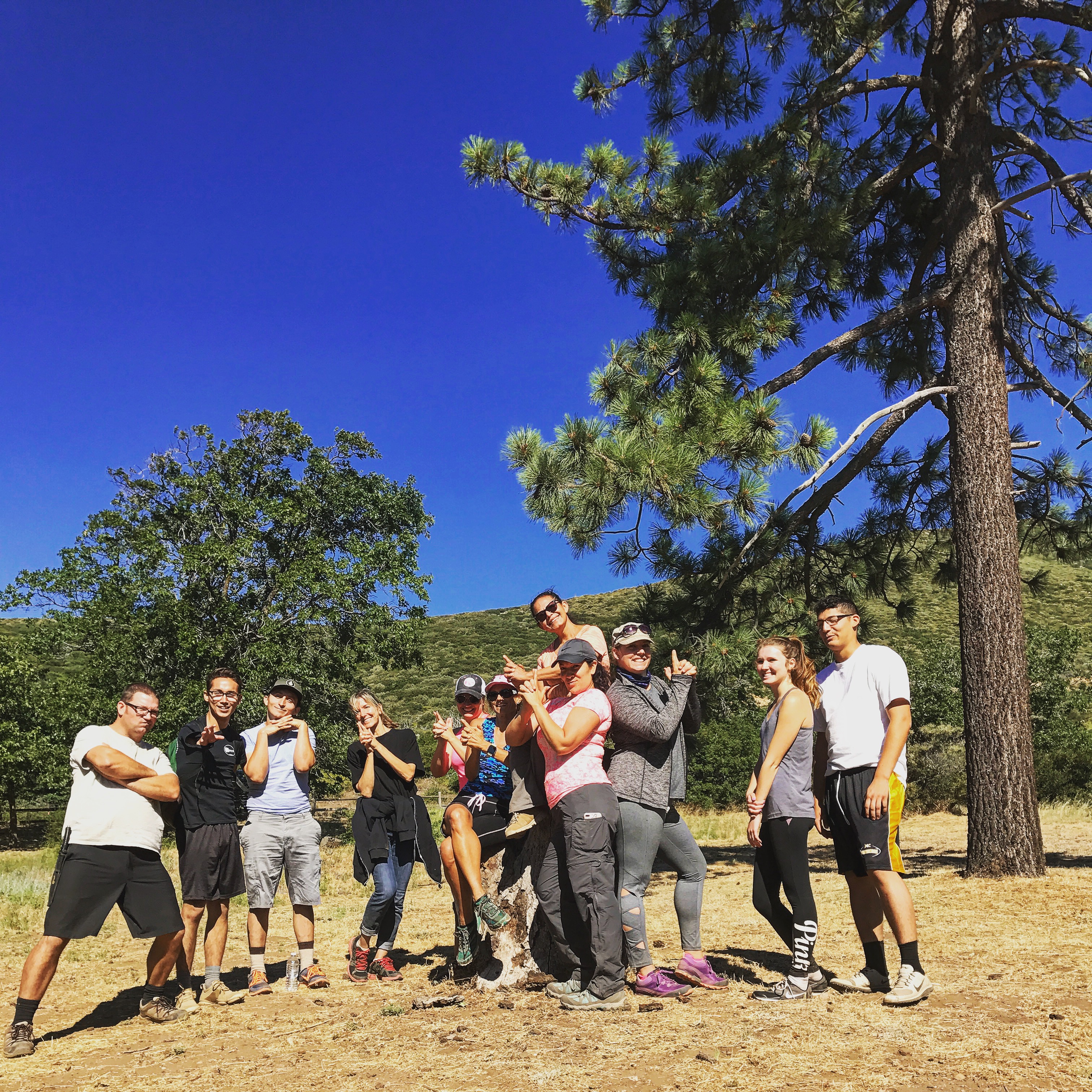
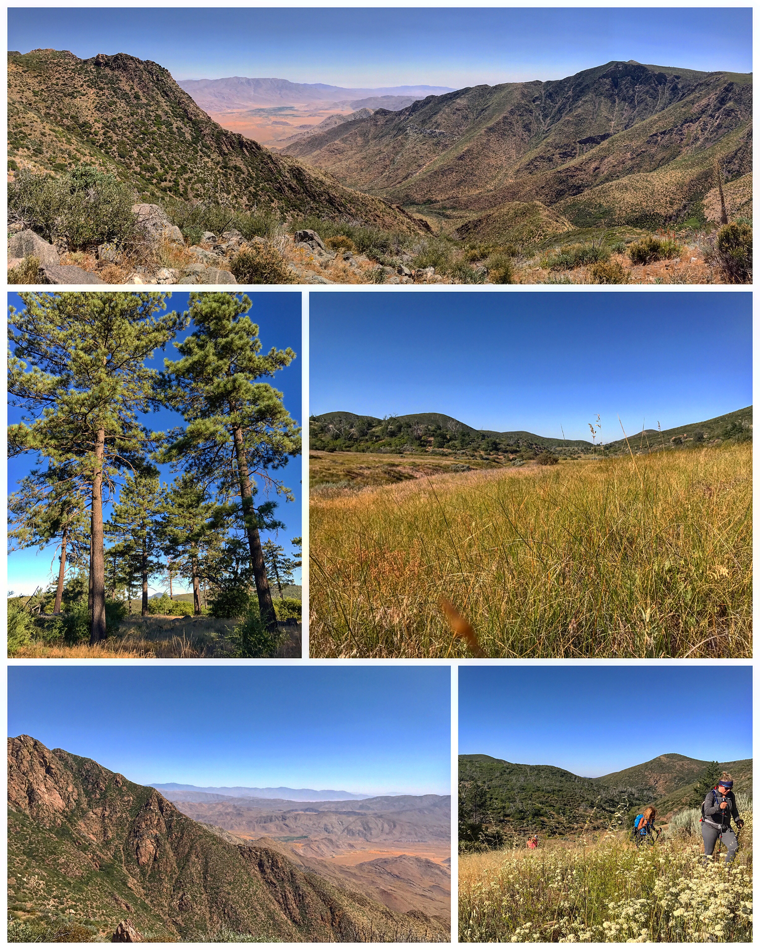
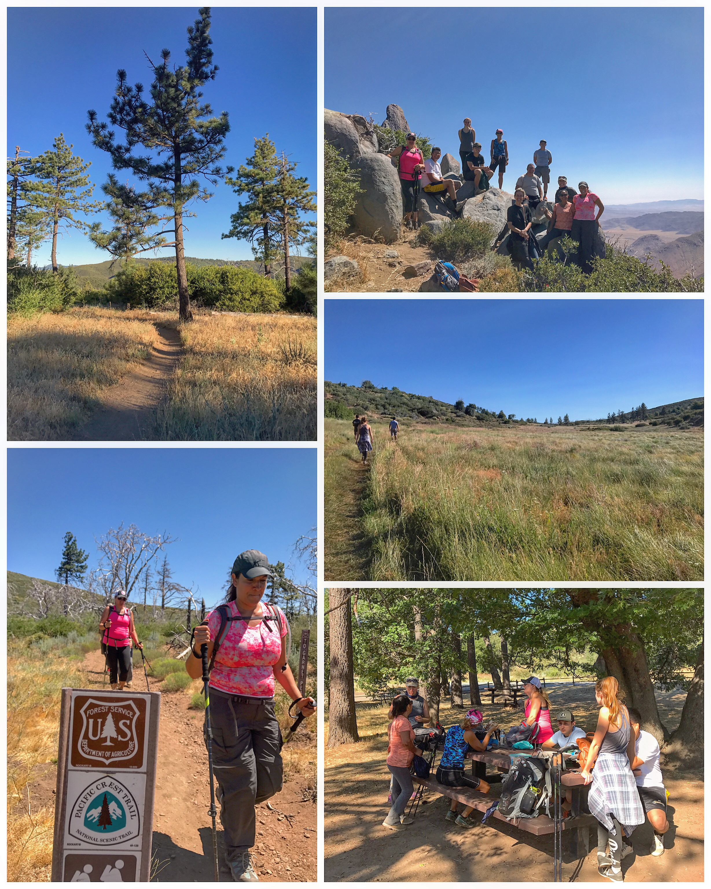
At mile-high elevations in San Diego County you can find lingering bursts of wildflower color amid the somber pines and bright-green black oaks. For a wide-ranging introduction to this mountain landscape, plus a startling view of the Anza-Borrego Desert, the easy-going Indian Creek Loop around the north end of the Laguna Mountain Recreation Area is highly recommended. Much of this area was burned in the 2002 Pines Fire, which means the trees took a hit and look a bit ragged. Nonetheless, the pioneering undergrowth (and its consequent springtime blossoming) is especially impressive in a wet year like this. This route incorporates three trails: Noble Canyon Trail, Indian Creek Trail, and the famous Pacific Crest Trail.
