Some of the new devices on the market.
Garmin Tread XL Overland Edition
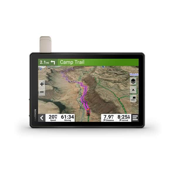
- garmin-garmin-tread-xl-overland-edition-offroad-31272402124973_2000x.jpg (17.36 KiB) Viewed 673 times
The Tread is designed for "Side by Sides" but it can be used for overloading and off-road navigation.
The Tread comes in 3 sizes.
5.5 inch for $599.99. An 8 inch for $1299.99, and a 10 inch for $1499.99.
Highlights:
1. Navigate unpaved roads and trails by using turn-by-turn trail navigation with OpenStreetMap (OSM) and USFS Motor Vehicle Use Maps.
2.Custom routing for the size and weight of your rig2 and preloaded iOverlander™ points of interest (POIs) help you find where to set up camp.
3.This rugged navigator is IP67 weather-resistant and has an 10” ultrabright touchscreen display.
4. See vivid aerial views of terrain with downloadable, subscription-free BirdsEye Satellite Imagery.
5. Use the Tread® app on your compatible smartphone to sync data across your various devices and plan routes.
6. Peace of mind comes built-in. With an active subscription, you can use inReach® technology for global satellite communication.
7. Tread includes preloaded topographic maps with 3D terrain for North and South America. It also includes detailed street maps of North America with custom routing for the size and weight of your rig.
Garmin Overlander
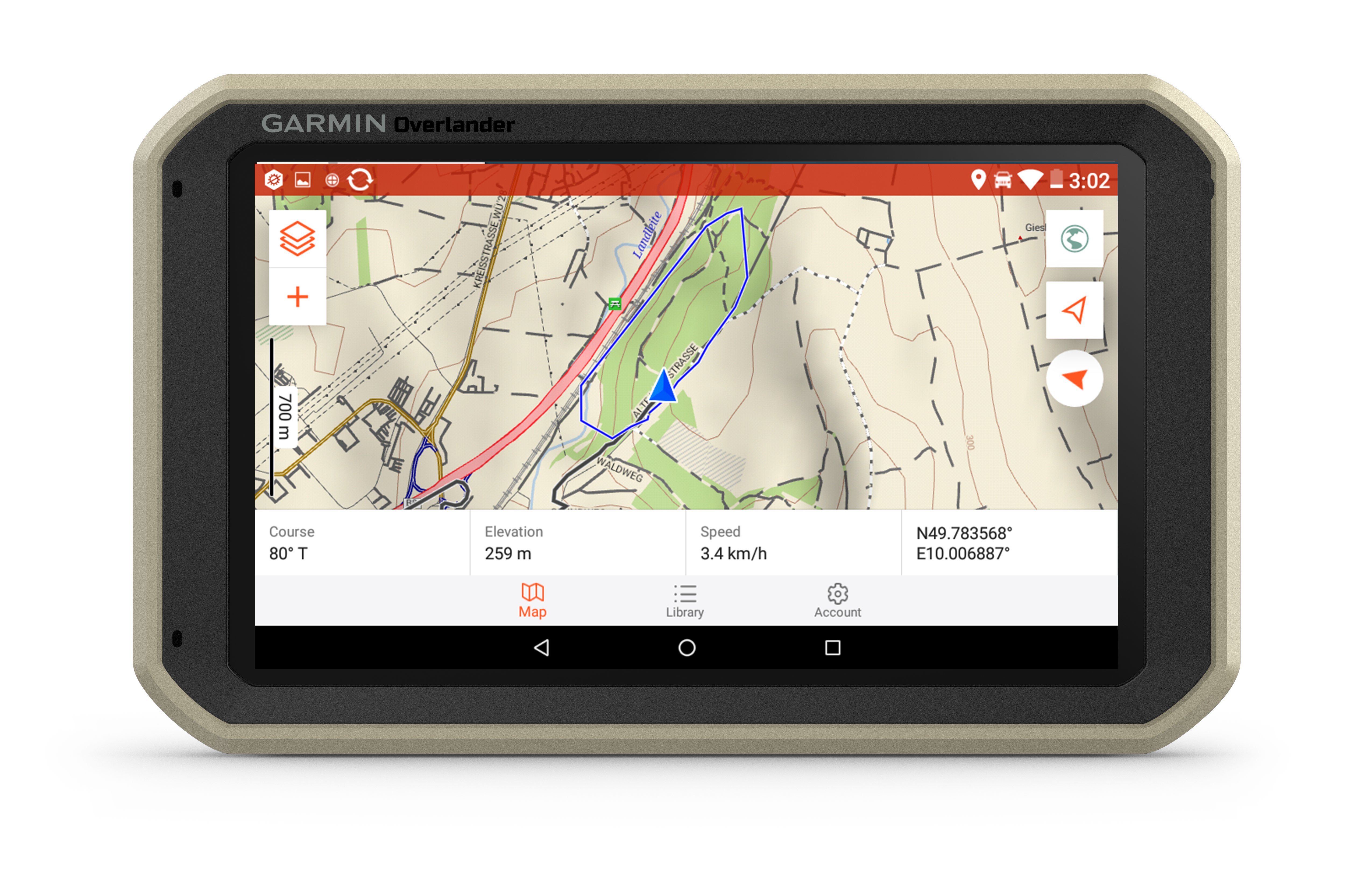
- Garmin Overland.jpeg (1.34 MiB) Viewed 673 times
Overland as the name states is designed for overloading and comes in one size and it's priced at $699.99.
Highlights:
1. Get the lay of the land with topographic maps for North and South America.
2. Get spoken directions to the nearest coffee shop with street maps for North and South America.
3. Share the plans for adventure through Garmin Explore. From your laptop to your phone to your friends.
4. Comes with a powered magnetic mount and an adapter with AMPS plate compatible with RAM mounts. It’s not going anywhere.
5. Search for the nearest inspiration point while you’re in the middle of nowhere.
6. Need to bring your own satellite imagery? How does 64 GB of built-in storage sound?
7. Overlander is preloaded with iOverlander POIs and Ultimate Public Campgrounds, so you don’t need a cell signal to route to the best-established, wild and dispersed campsites.
8. Overlander features topographic maps, including public land boundaries, 4x4 roads, forest service roads, waterways, trails and other land use data.
Magellan TRX7 Trail and Street GPS Navigator
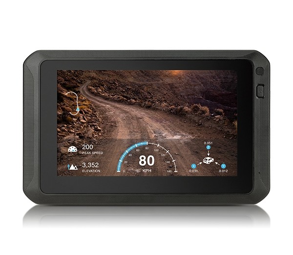
- Magellan TRX7.jpg (61.76 KiB) Viewed 671 times
Magellan TRX7 is priced at $629.99.
Highlights:
1. Turn-by-Turn Trail and Street Navigation
2. Built-in 8MP Camera with LED Flash
3. Optional Gauge Overlay or Time-Lapse Modes for Adventure Video
4. Pre-loaded with over 160,000 4WD, ATV, Motorcycle, and Snowmobile Trails in the USA
6. Hi-res (10M) 2D Topo and 3D Basemap of the USA and Canada with Free Updates
7. Track Recording and Community Publishing, Crowdsourced Track Database, and One-Touch Social Sharing
8. Waterproof, Dustproof, Drop- and Shock-Resistant
9. Free Map and Software Updates
Garmin has upgraded some of their handhelds to include inReach satellite communications.
Garmin GPSMap 66i
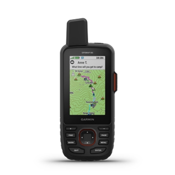
- Garmin GPSMap 66i.jpeg (26.48 KiB) Viewed 671 times
The Garmin GPSMap 66 is on sale for $449.99
Highlights:
1. Know the terrain before you’re in it, with preloaded TopoActive maps of the U.S. and Canada.
2. Get maps as pretty as a picture and just as detailed —without a subscription.
3. Stay out there longer with up to 35 hours of battery life in tracking mode and up to 200 hours in Expedition mode.
4. Need assistance? Send interactive SOS alerts anytime, globally.
5. No matter where you are, two-way messaging lets you connect to the ones who matter.
6. Let loved ones know precisely where you’re roaming with location tracking and sharing.
Garmin Montana 700i
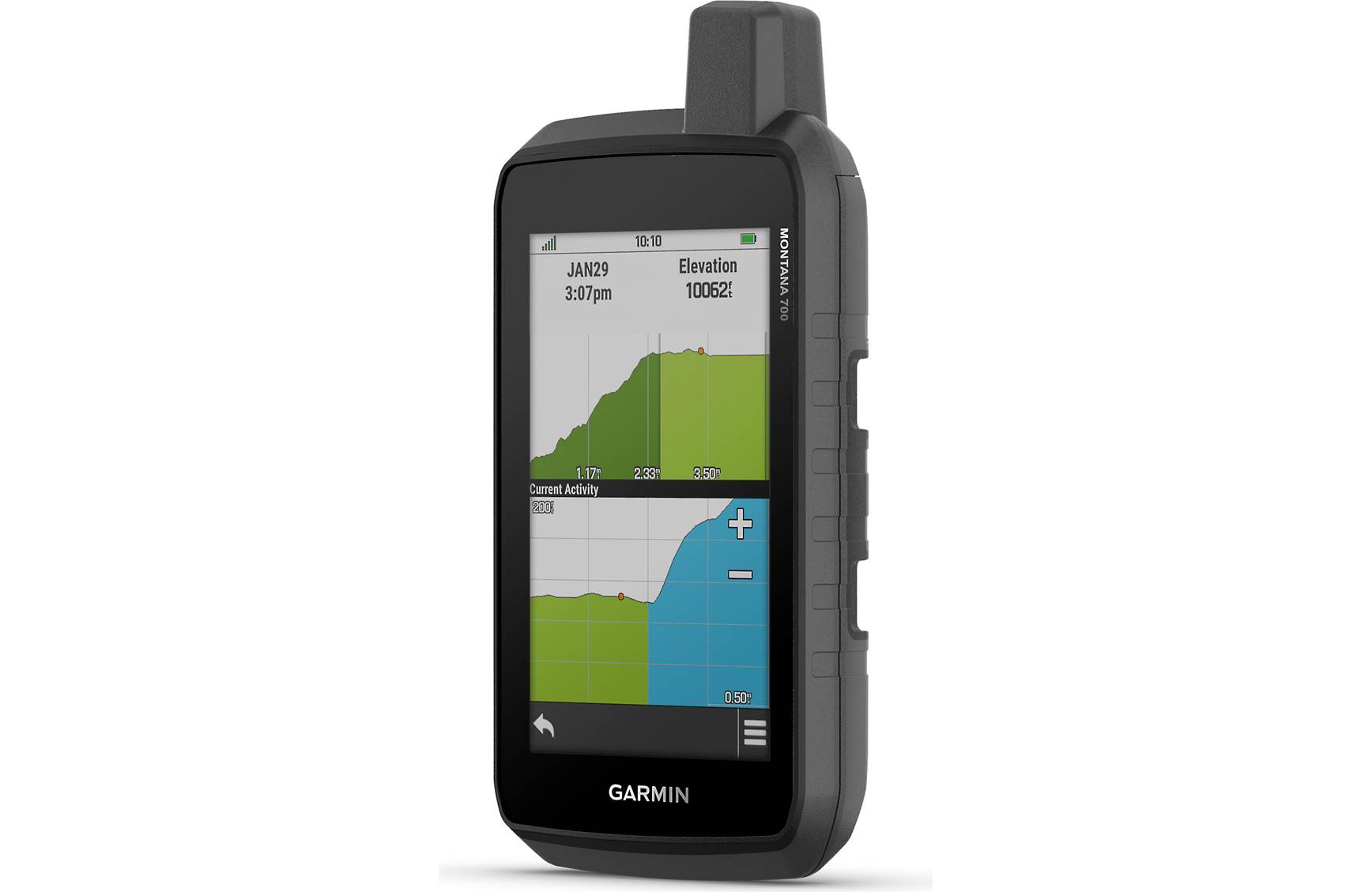
- Garmin Montana 700.jpg (64.78 KiB) Viewed 671 times
Highlights:
1. Big news. A full QWERTY keyboard lets you easily type messages.
2. Wander wider and still stay in touch — with inReach for messaging and 24/7 SOS.
3. Routable topographic maps? Check. Now you’re free to take it off-road or on.
4. Built like a tank. Meets MIL-STD 810 for thermal, shock, water and vibration.
5. Get the clear perspective of BirdsEye Satellite Imagery right to your device.
6. Power your adventures with 18+ hours of lithium-ion battery life in GPS mode.
7. Exchange text messages with loved ones, post to social media, or communicate via inReach device to inReach device in the field (active satellite subscription required).
8. To navigate your adventures, use preloaded topographical maps for the U.S. and Canada. View terrain contours, elevations, coastlines, rivers, landmarks and more.


 I rarely bring a paper map, just a compass.
