
Willow Creek Road - Dishpan Springs - Rattlesnake Canyon - Heartbreak Ridge
Well it turned out to be a great weekend with my wife out on the trails. We got up to our families cabin Friday night after work and had plans to run Willow Creek and Dishpan Springs the next morning. Since I've only been up to Big Bear a few times I needed to familiarize myself with the trails I wanted to run for SummerFest.
On Sunday we had plans to meet up with BlueFJ (Craig) and run Rattlesnake Canyon and Pontiac Loop along Heartbreak Ridge, then exit out through Burns Canyon and Yucca Valley.
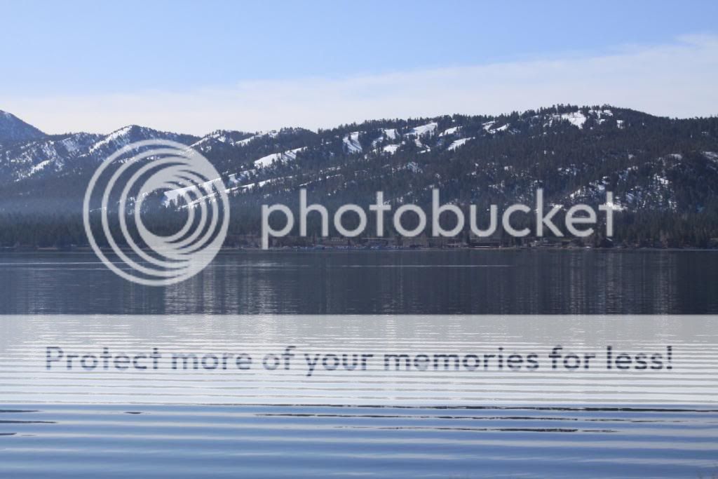
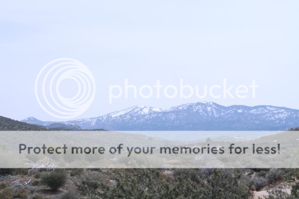
Big Bear Lake.
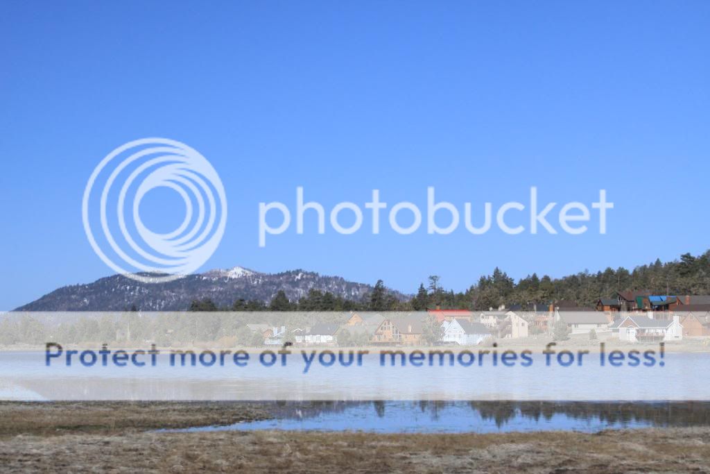
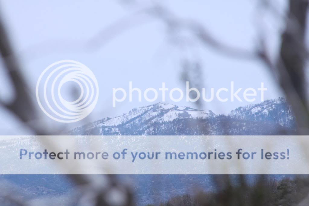
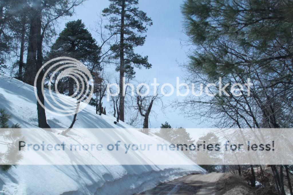
Plenty of snow higher up.
Willow Creek Road
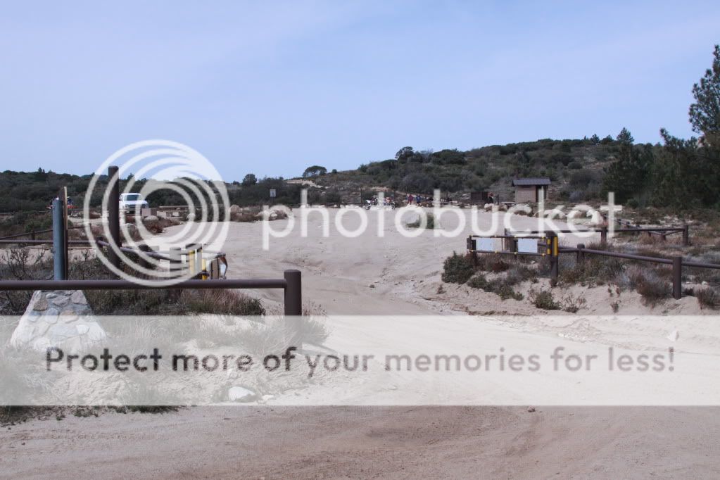
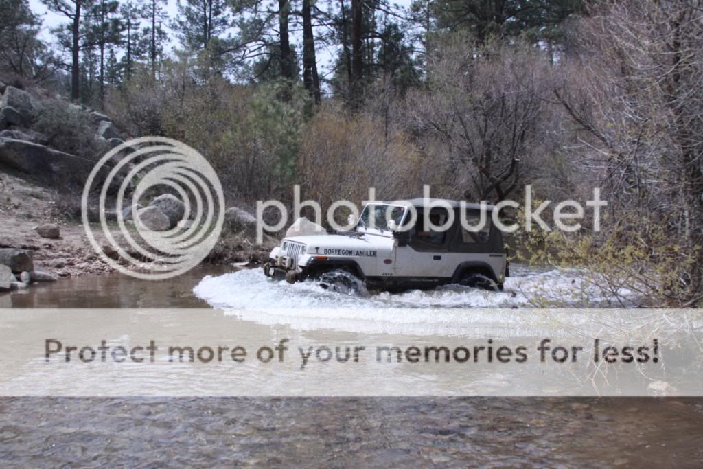
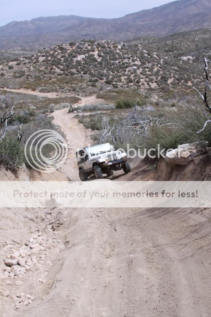
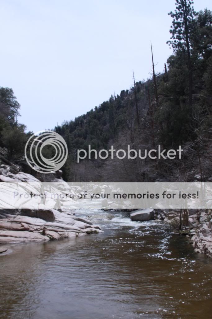
Our starting point was just off Highway 173 at the Pinnacles OHV Staging Area. Since most of the main trail here consist of easy, gentle grades suitable for any SUV, I decided to incorporate some tougher routes into my run. All the water crossings were a blast but I'm afraid that there won't be much left of them by June. Willow Creek crossing was one of the deepest that I've ever been through.
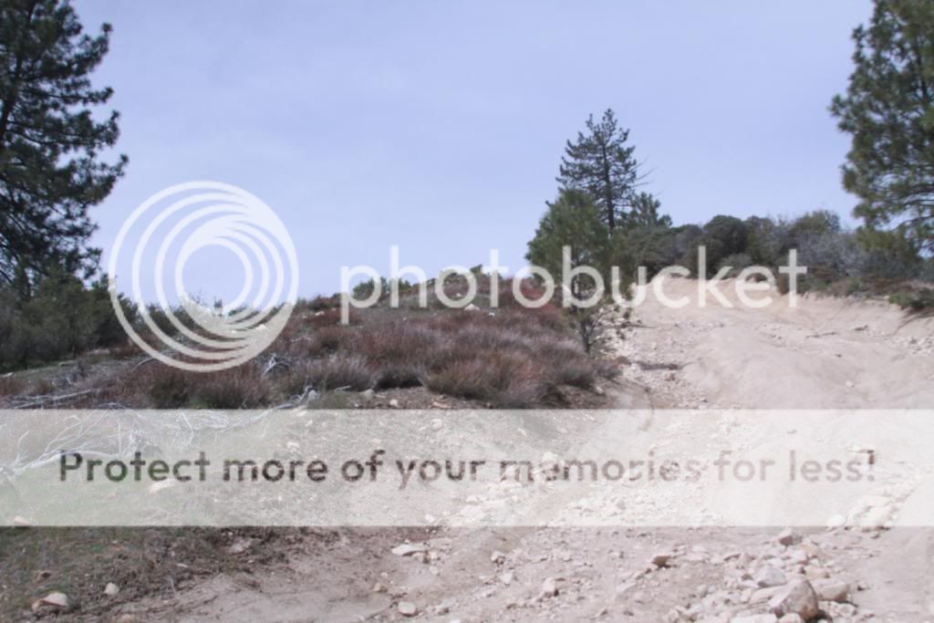
Pinnacles Staging Area.
The trail head has either green or blue rated options. I'm sticking to blue and looking for black!
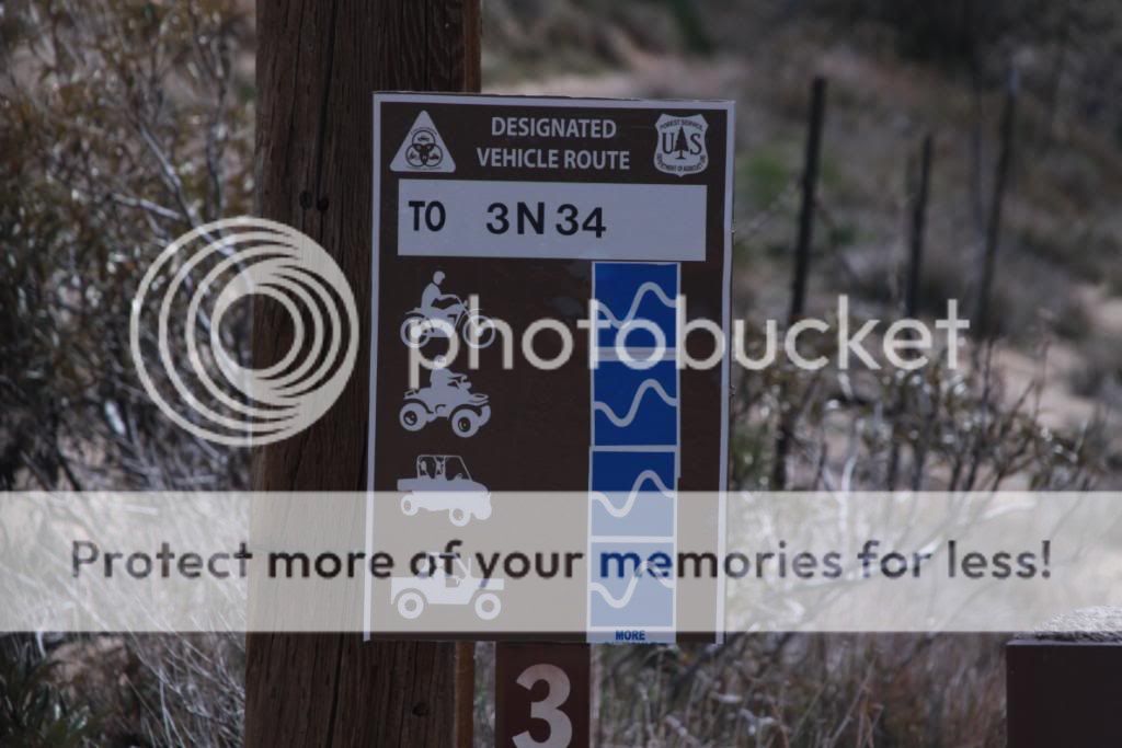
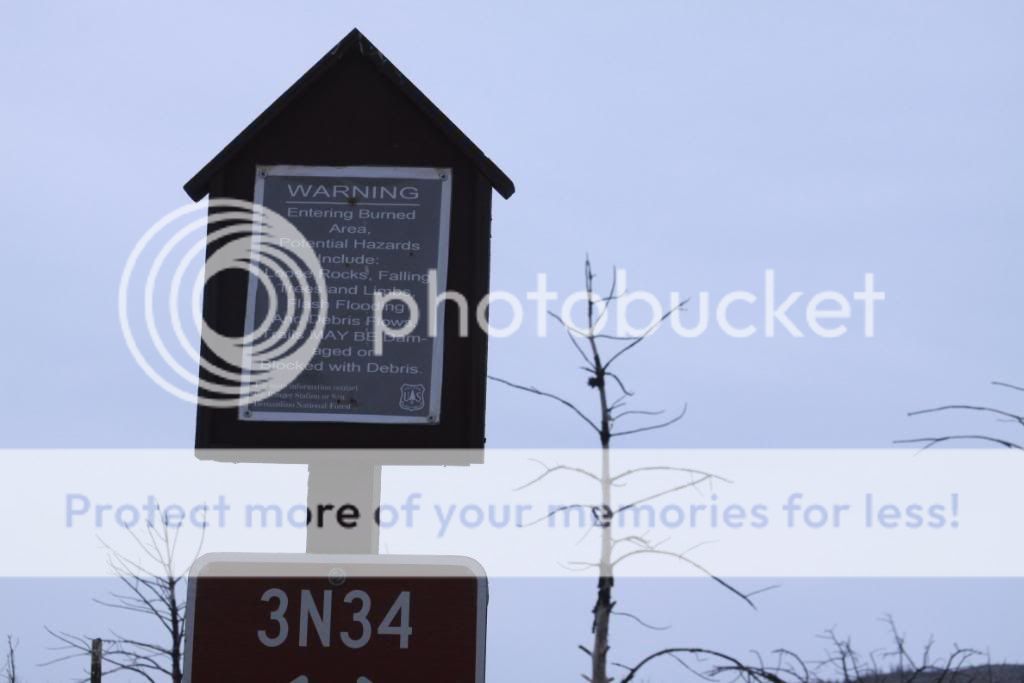
Nice ruts along 3N34.
Willow Creek crossing.
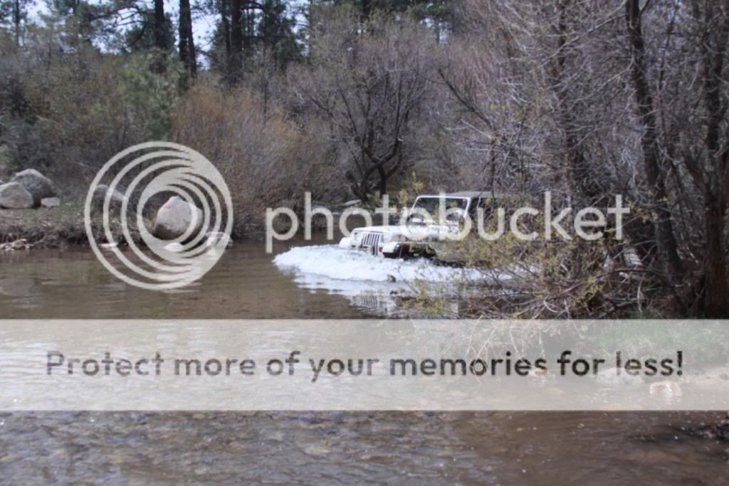
I stayed to the shallow side.
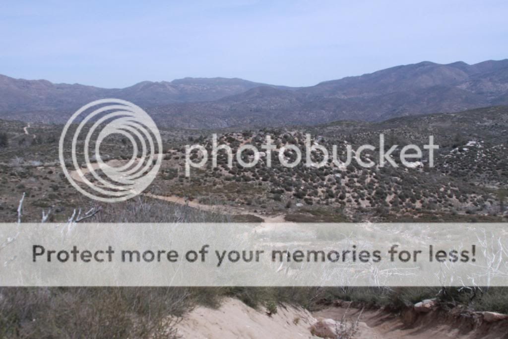
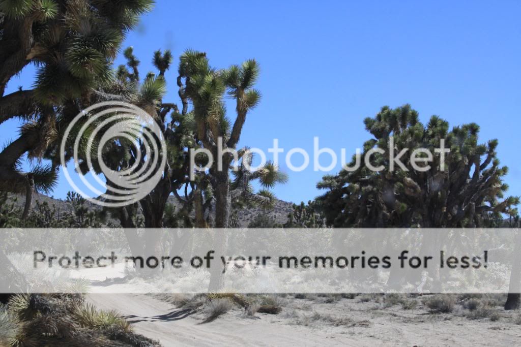
Great scenery along the way.
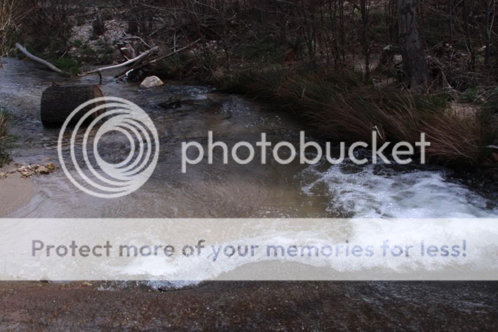
Lots of water along the trail.

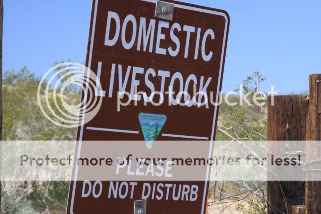
Warning.
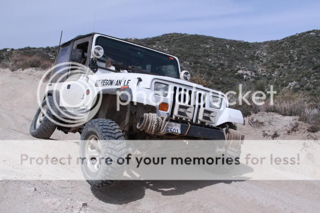
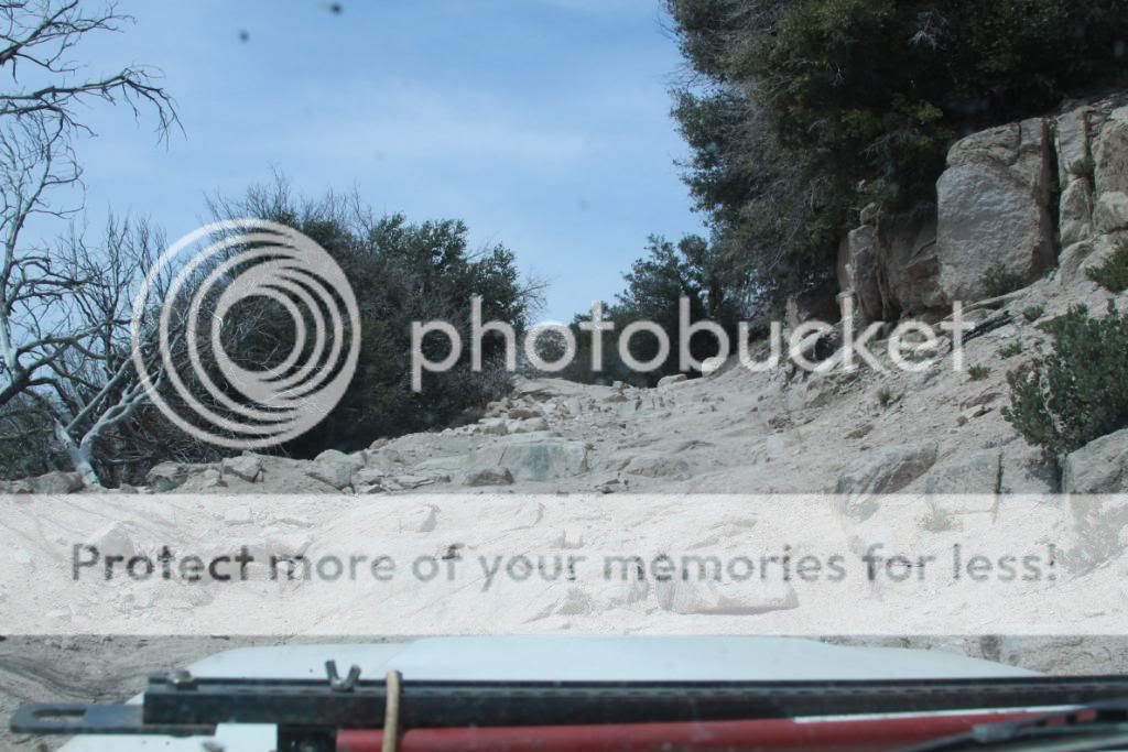
Some of the moderate sections of trail.
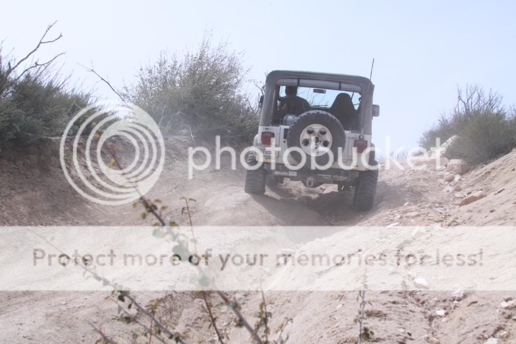
Climbing.

Made it.
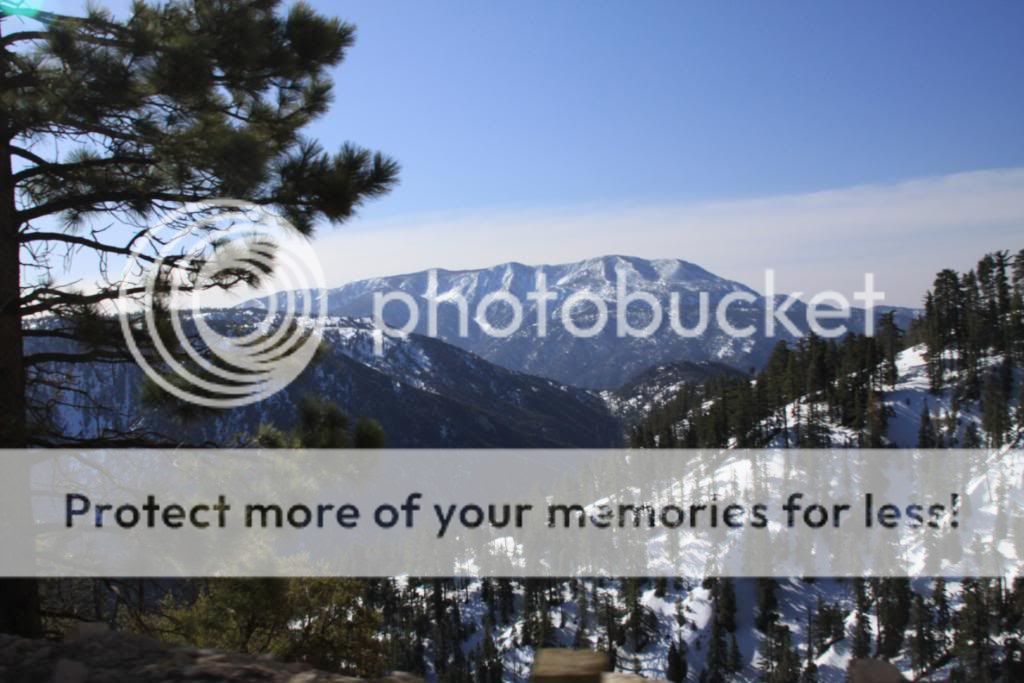
Taking in the view.
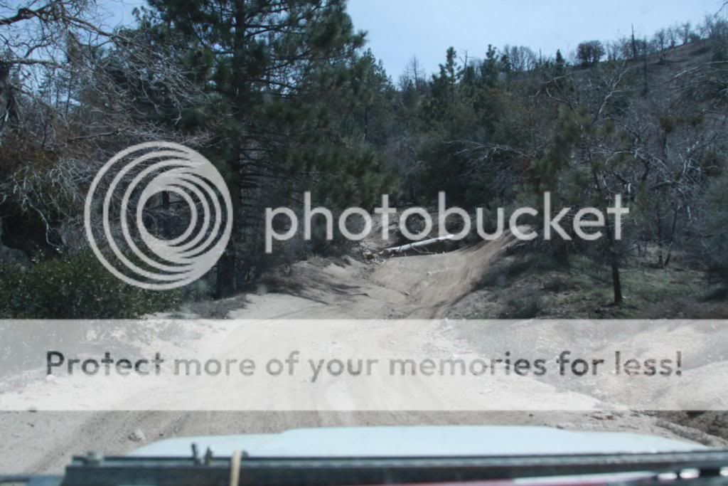
The trail ahead.

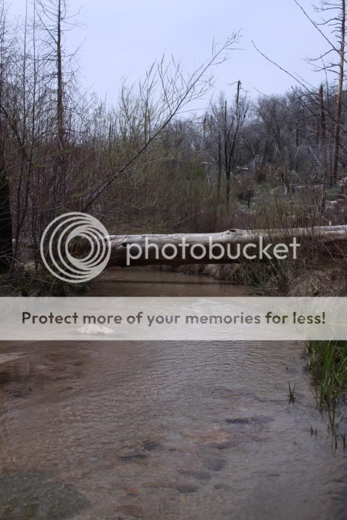
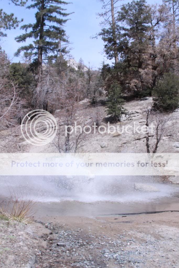
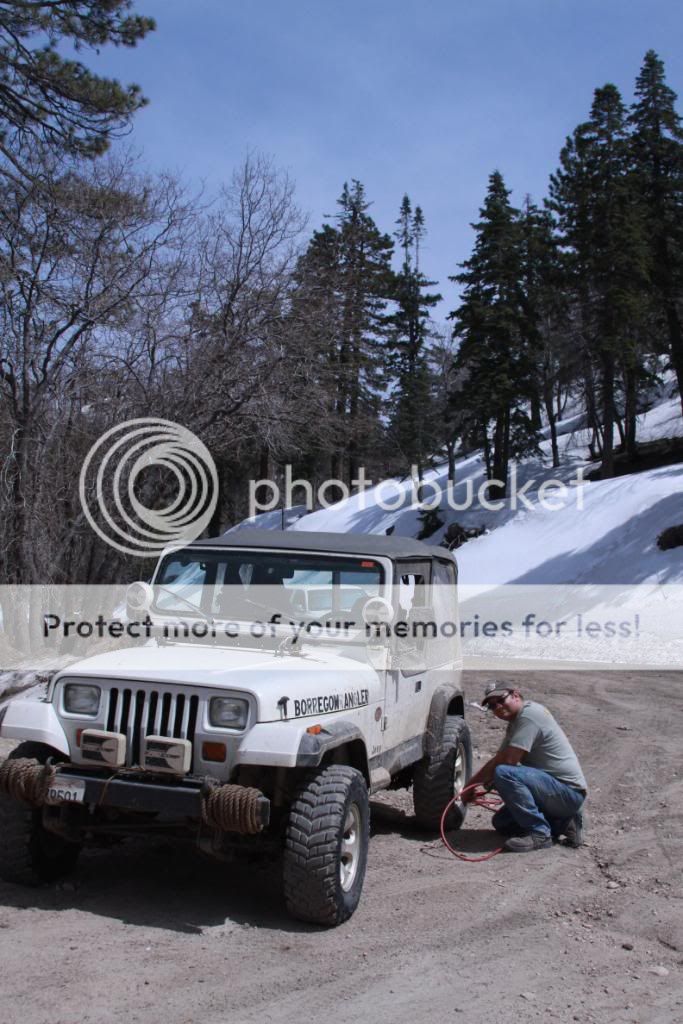
More water.
End of the trail. Now onto Dishpan Springs.
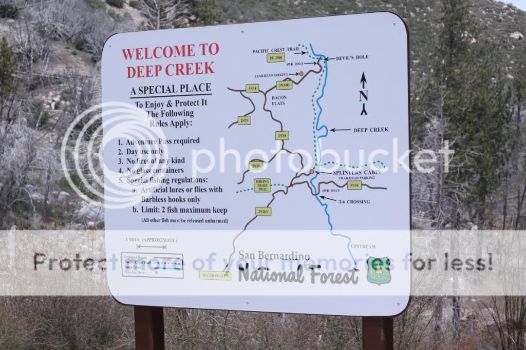
Dishpan Springs
Also called Deep Creek Trail, I didn't know if I could complete the whole trail. About halfway through, there's a steep waterfall that must be negotiated. One way or another, I would find out.
T-6 Crossing. The crossing of Deep Creek is no longer an issue since the forest service built a concrete bridge across it. View from the bridge.
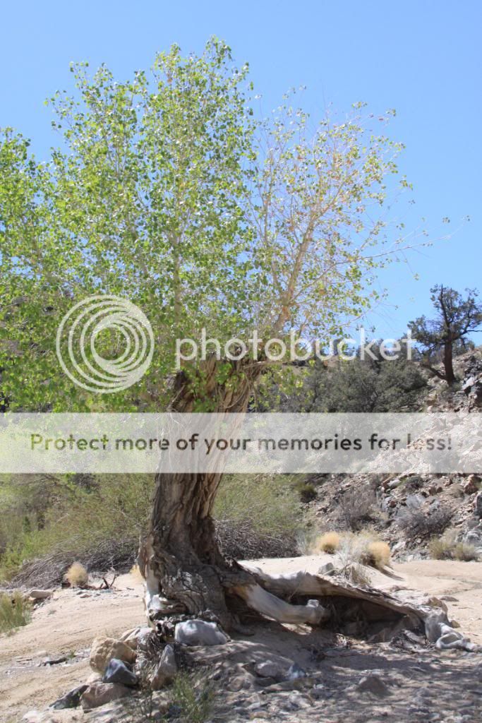
I wonder how the trout fishing is?

Once the bridge is crossed you must pick your line through a tough boulder field.

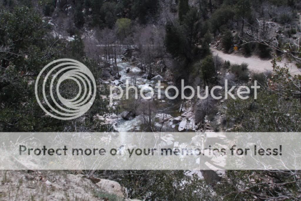
Looking down at Deep Creek.
Not too bad now.
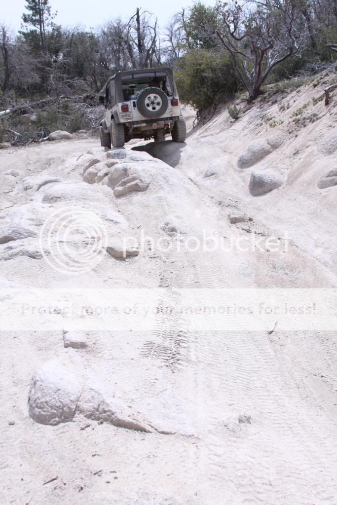
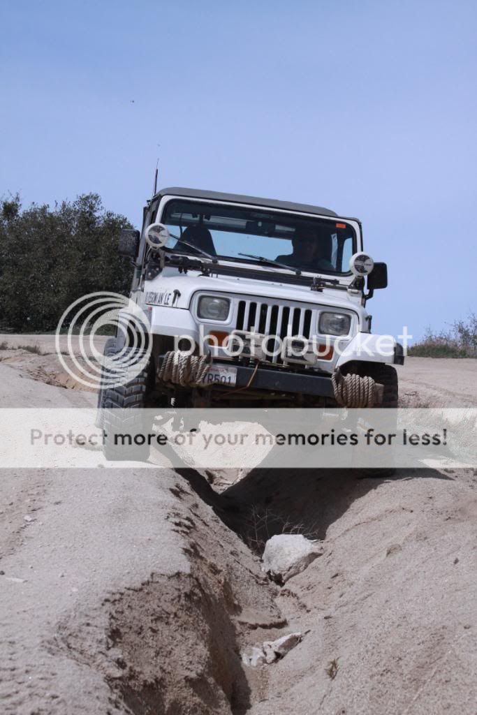
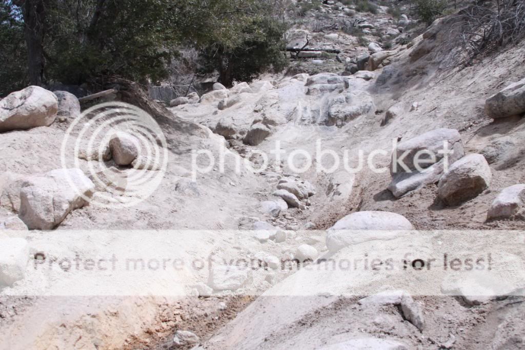
Now this is where it gets tricky...

Which line to pick?
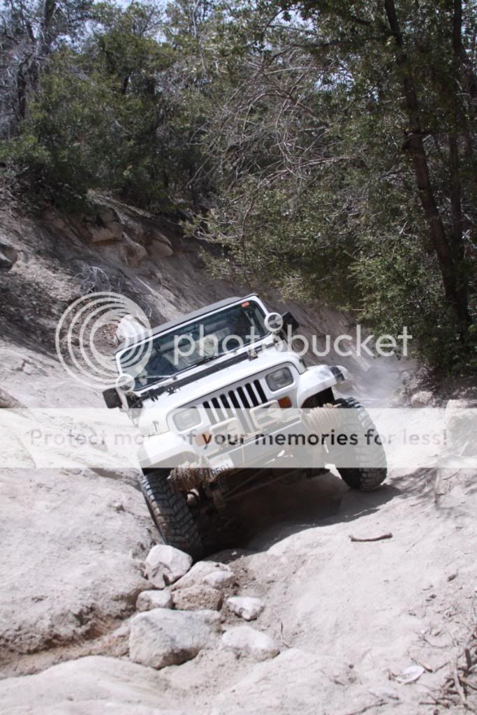
To the left, I think...

... I can!
A little close...

Once I make it up, this is where I get hung up.
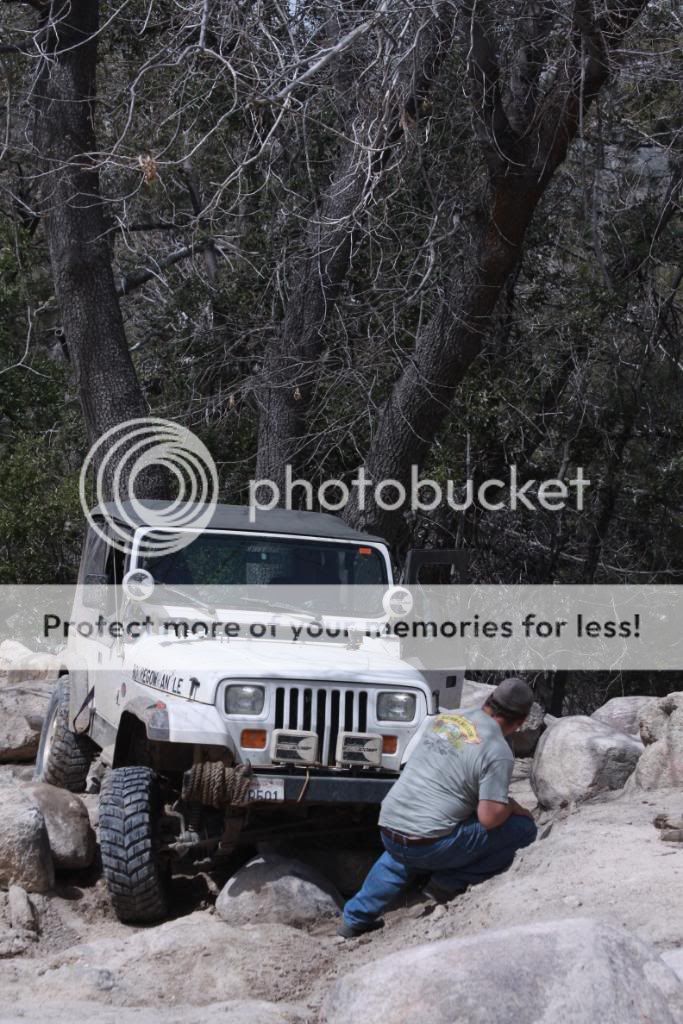
A few well placed rocks later and I'm free!
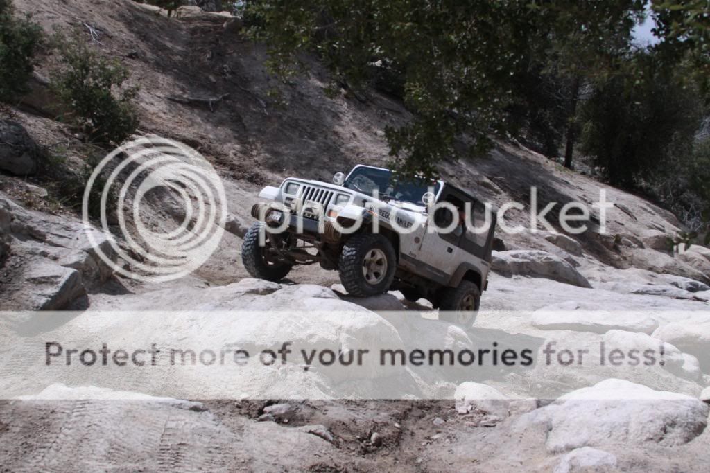
Easy from here on out.
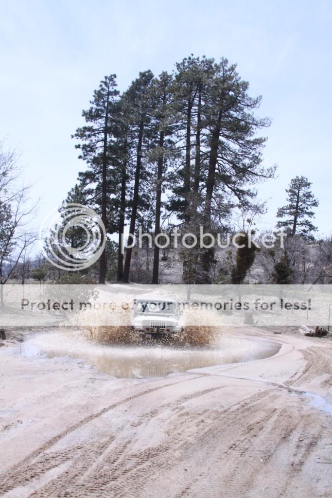
I like to finish with a splash!
Taking 3N16 out.
Airing up at Green Valley Lake Blvd.
Time to relax.
Rattlesnake Canyon & Heartbreak Ridge (Pontiac Loop)
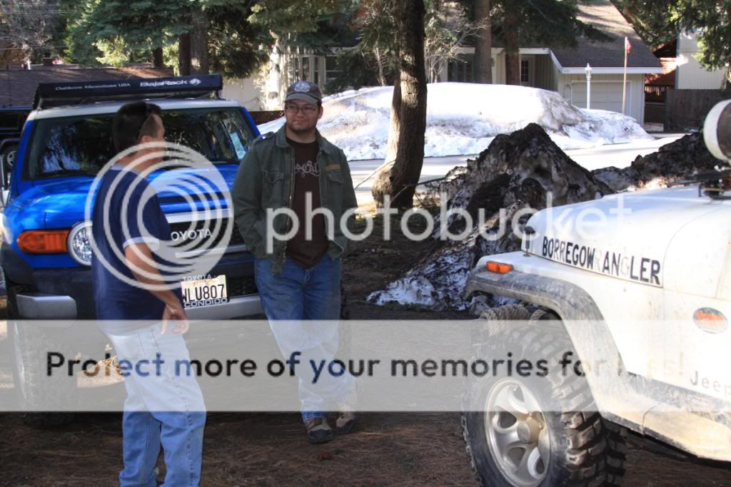
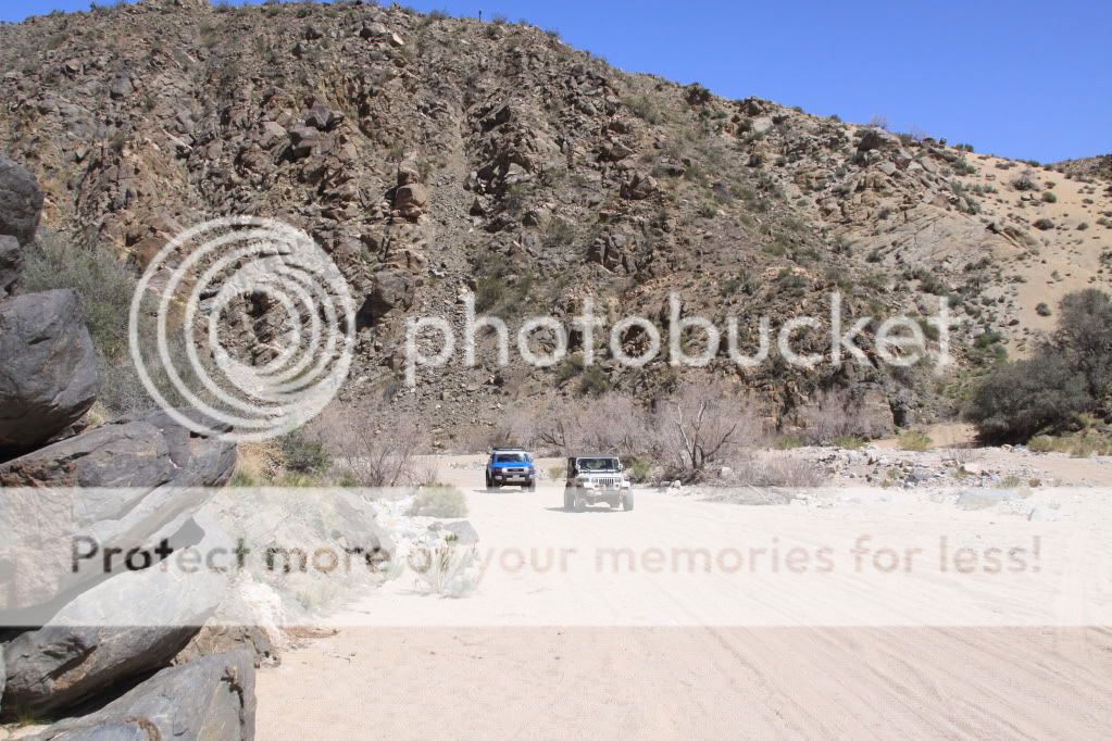
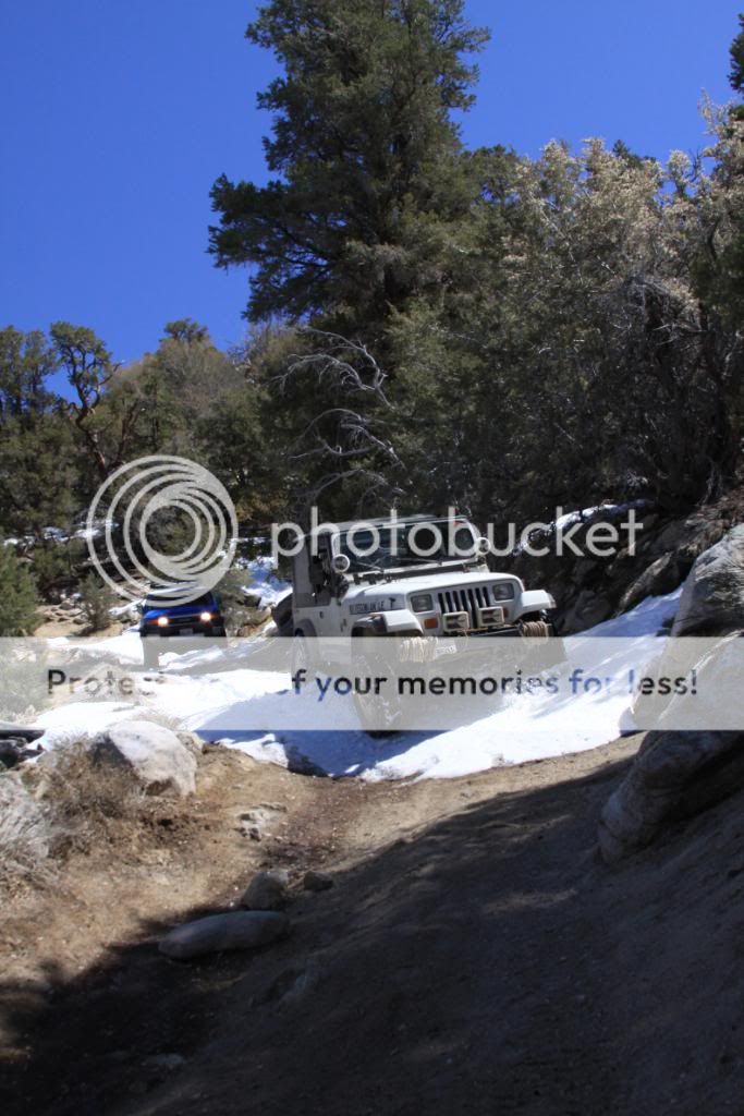
Meeting up with BlueFJ bright and early.
Just a ways down the trail head.

They have the right-of-way.

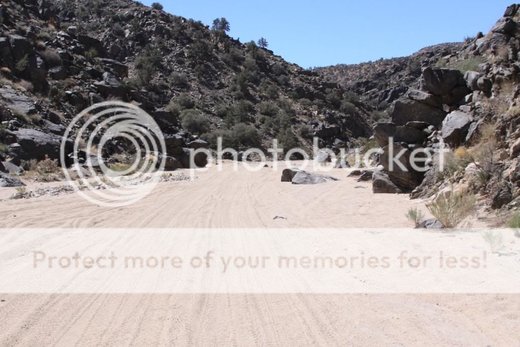
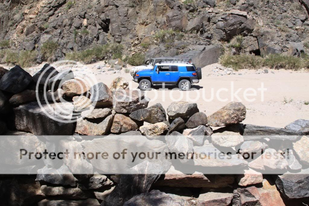
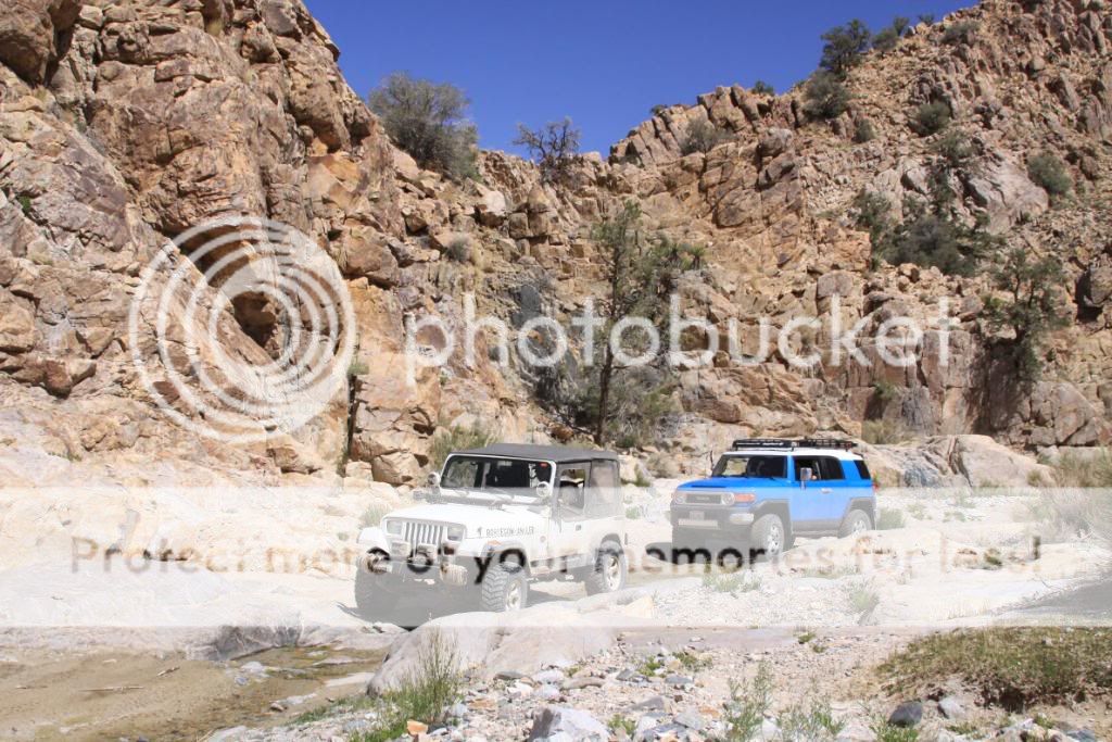
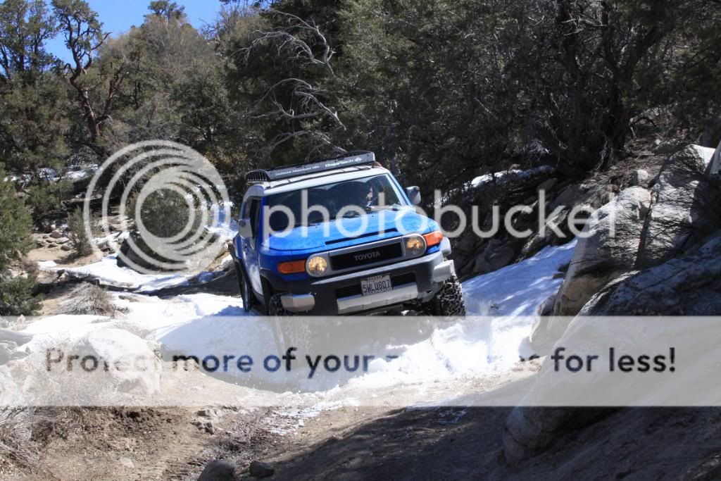
The canyon starts out wide and sandy.

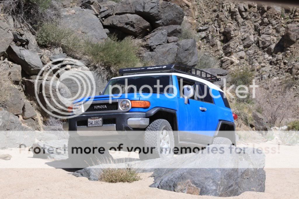
Jeep and FJ (FJ= Fake Jeep right?)

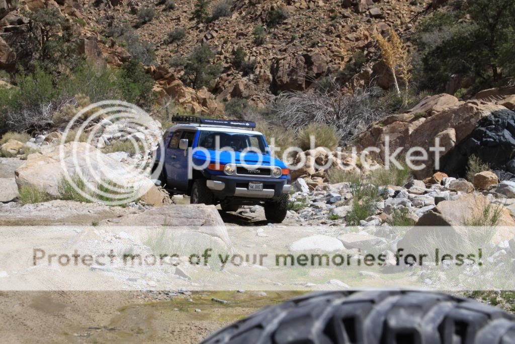
A little rock action.
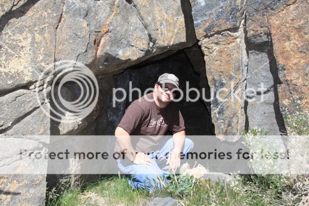
Craig spotted this rock structure along the canyon.
A good spot for an ambush!
Small cave.
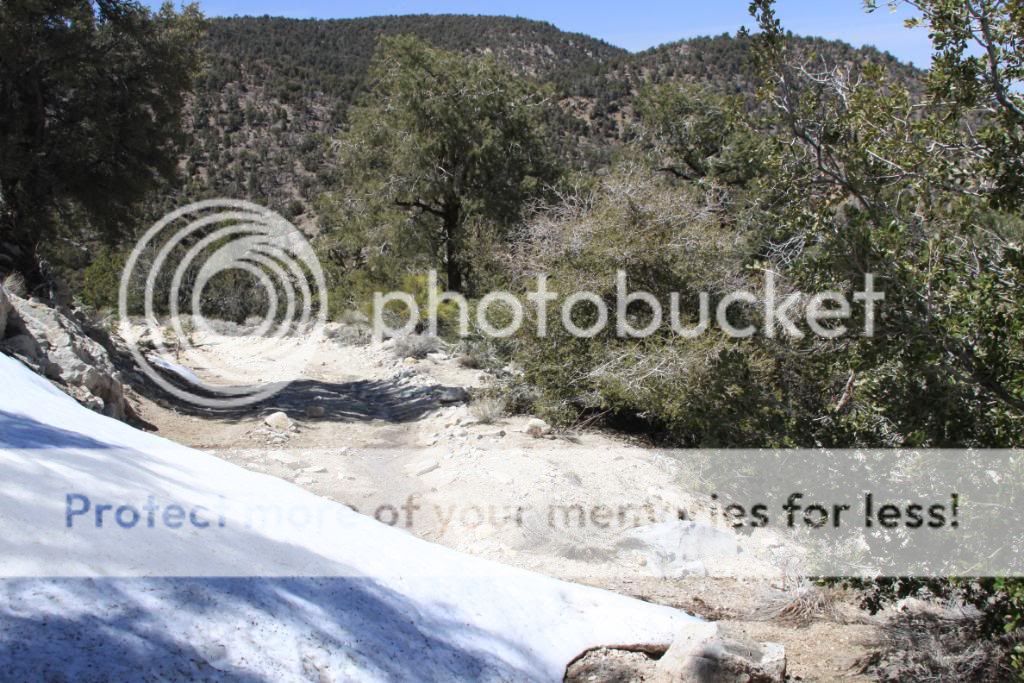
Starting to see water along the surface of the trail.

The turn for Heartbreak Ridge.
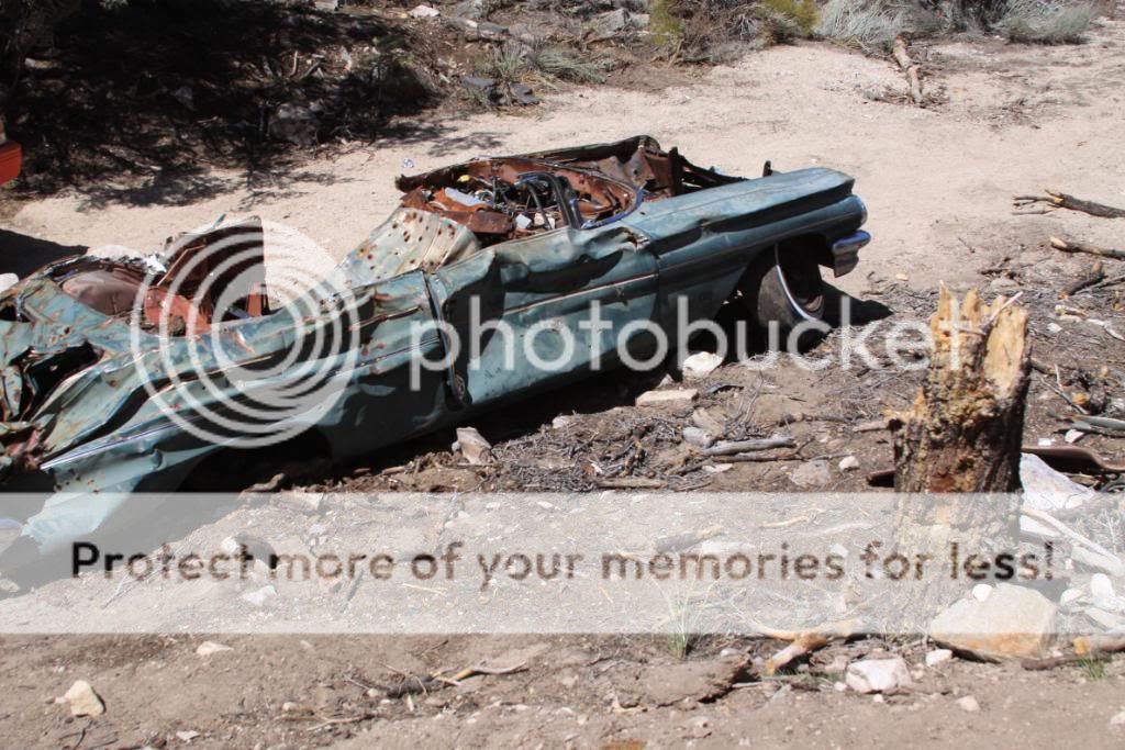
The Pontiac.
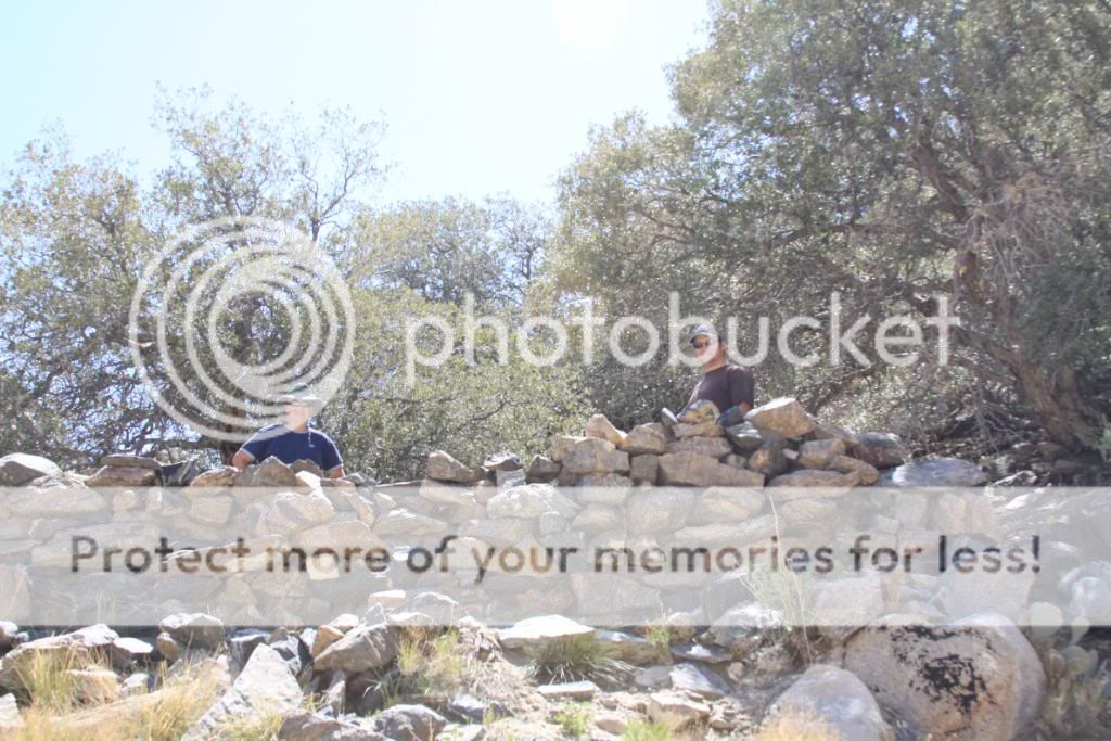
Stopped for lunch at the top.

Memorial plaque.

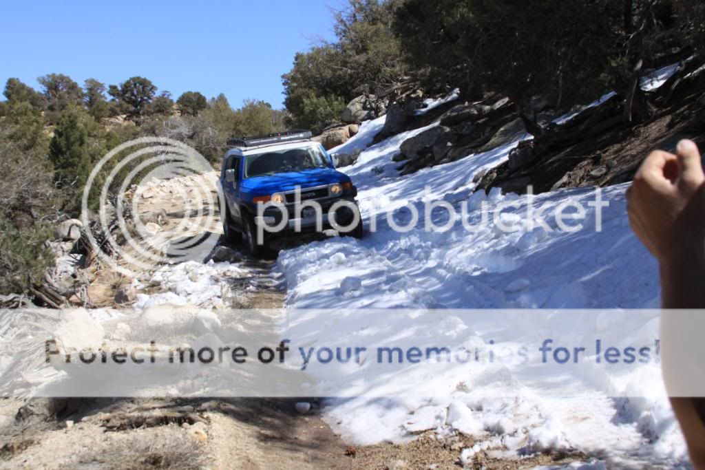
Running into some snow on the way down.
It gets worse.
So far so good.

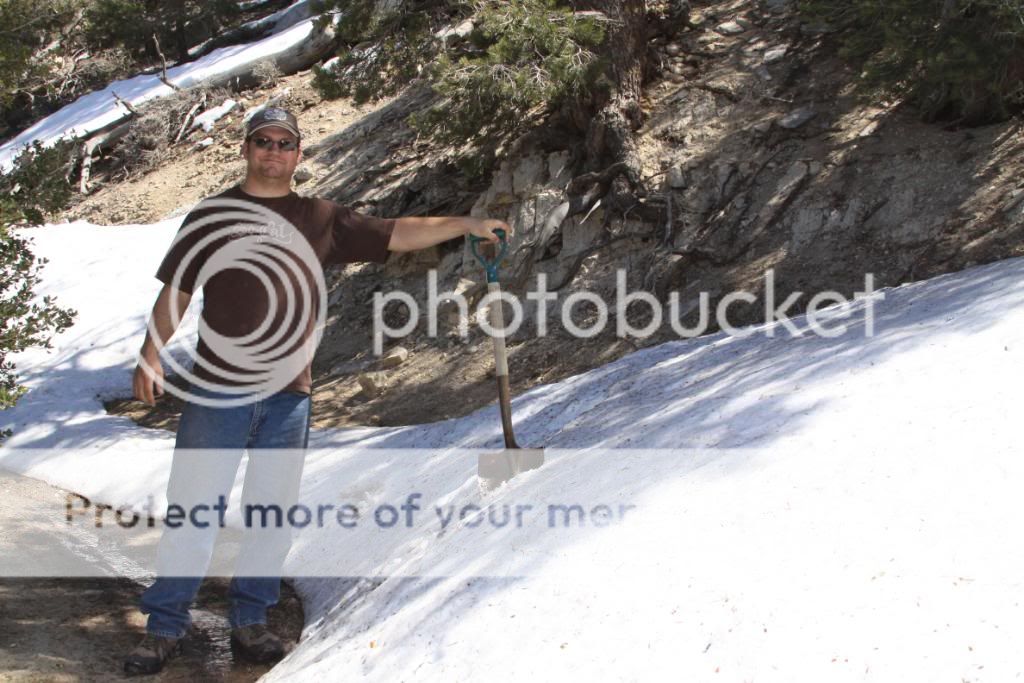
This might be a problem...
To keep from sliding off the shelf road we had to break out the shovels and level out the snow.


Time to start digging!
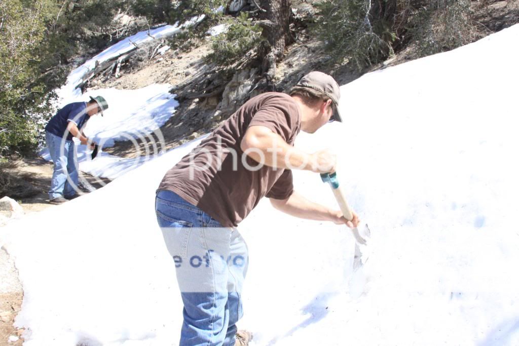
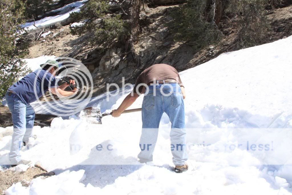
Making progress.
Of course, my wife found ways to entertain herself.

The moment of truth!
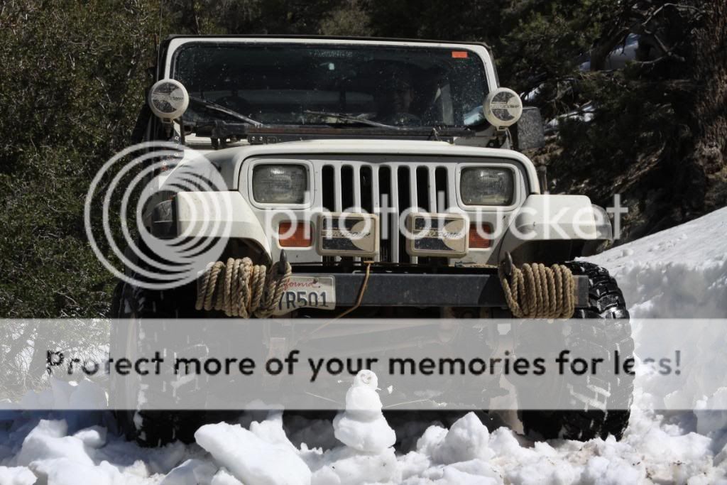
Goodbye little snowman!
Now for BlueFJ.

Great. What else can go wrong?

Start digging, Craig!

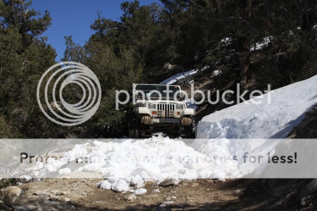
Back on the road!

Spotting BlueFJ.

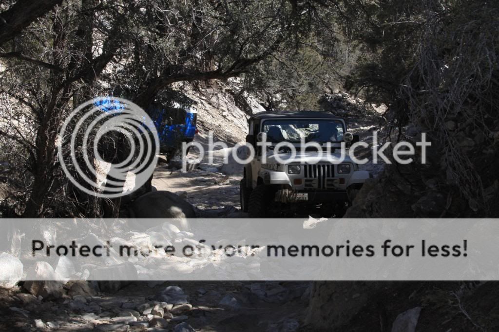
Now that we've got away from the snow, it's time to pass back through the rocks.

Almost out.

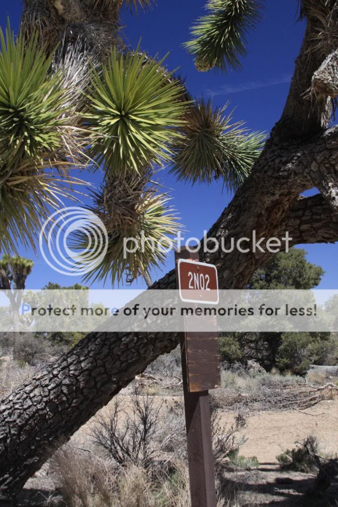
From here we traveled back down 2N02 to Burns Canyon and exited out Rimrock and Pioneertown Road to Yucca Valley. We then took Highway 62 to I-10 to the 60, I-215 and I-15 an on home. It was a great weekend in preparation for SummerFest. A big thanks to Craig for joining me on those remote trails on Sunday. For those planning on joining us for SummerFest, this should hopefully give a good idea on what some of the trails are like. Although I'll be running a few of the harder routes, there is still a good selection of easier and scenic trails in the area.


