Donate

Past Trip Reports

Past or present, share your outdoor adventure reports with us here. We want to read all about them. Share pictures, videos, etc.
User avatar
BorregoWrangler
Posts: 1920
Joined: Wed May 07, 2008 6:53 pm
Location: San Diego, CA (El Cajon)
Contact:

Past Trip Reports

Post by BorregoWrangler » Thu Aug 16, 2012 4:35 am

While browsing through the Outdoor Adventure Reports section I realized that I have quite a few past back country adventures that aren’t posted here since they predate this forum. So I figured I’d put some together and then post them up. These bring back quite a few good memories and with desert season coming up along with BorregoFest in October, these have me looking forward to getting out there again.


Carrizo Badlands Run - March 2008

Well it was a beautiful, fun filled day in the desert of Anza Borrego. A little windy and dusty at times, but great day to be out wheelin'. We arrived at the trailhead of Oriflamme Canyon in Banner a little before 9AM. After airing down and making sure everything was good to go, we were off! Coming down the rocky switchbacks towards the desert valley below we spotted 1Leg, 1 Leg Lance, Gear, and R2FJ break camp and head out. Wait for us guys! They soon raised me on the CB and in a moment we were all gathered and ready to travel down Hwy S2 towards the Carrizo Badlands.
Coming down Oriflamme Canyon. The recent rains made it quite rocky.

She might have been a little nervous coming down the Oriflamme Canyon switchbacks.
Image

Be prepared to get muddy and wet in Carrizo Creek.
Image

Image

Image

Image

Image

An isolated frontier outpost:
http://www.parks.ca.gov/pages/22491/fil ... e_2007.pdf

Image

Lunch near the old Stage Station site.
Image

We found this odd metal structure nearby.
Image

Image

Image

Arroyo Seco Del Diablo Canyon
Image

From Arroyo Seco Del Diablo you take Diablo Dropoff down to Fish Creek.
Image

Image

Image

Image

Image

Image

Image

Image

Image

Image

Image

Image

Finishing up in Fish Creek/Split Mountain.
Image
-John Graham
1989 YJ & 2000 TJ

View all my trip reports here at my blog: GrahamCrackers

User avatar
BorregoWrangler
Posts: 1920
Joined: Wed May 07, 2008 6:53 pm
Location: San Diego, CA (El Cajon)
Contact:

Re: Past Trip Reports

Post by BorregoWrangler » Thu Aug 16, 2012 4:47 am

Correl Canyon OHV Area - March 2008

Well I was hoping to get out to ABDSP this weekend but had to keep any trips somewhat close to home. Eric had suggested a run out to Corral Canyon OHV Area and that sounded pretty good. It was a beautiful day and we had a great time. Bobcat Meadows campground was nearby and would make a good place to stay for the weekend and explore the entire area. We ran Sidewinder first, then make our way to the top of Bronco Peak. After coming down the same way we called it a day.

The Corral Canyon OHV Area is located near the town of Pine Valley. Within this area, the Corral Canyon and Bobcat Meadows campgrounds jointly give OHV enthusiasts access to over 51 miles of system OHV trails. These trails which run across the Cleveland National Forest Lands, offer you a heady mix of scenic beauty and test of skills.

Image

Oh, and within the first 30 seconds of starting the trail we both got stuck. That's gotta be a new record!Image

Image

Image

Image

Image

Image

Image

Image

Lake Morena in the background as we make our way up Bronco Peak.
Image

Image

Image

We spotted this guy on our way out.
Image

That explains the wired sounds we heard earlier.
Image
-John Graham
1989 YJ & 2000 TJ

View all my trip reports here at my blog: GrahamCrackers

User avatar
BorregoWrangler
Posts: 1920
Joined: Wed May 07, 2008 6:53 pm
Location: San Diego, CA (El Cajon)
Contact:

Re: Past Trip Reports

Post by BorregoWrangler » Thu Aug 16, 2012 5:07 am

Colorado River & Glamis Dunes Getaway - March 2008

Well, we decided to get out and do some camping and fishing this past weekend at Lake Ferguson on the lower Colorado River, just south of the Picacho State Recreation Area. We also spent some time on the dunes of Glamis, since we had some family who were camped out there over the weekend.

Our cabin/fishing club.
Image

Boat docks and launch ramp.
Image

Lots of fish have been caught here over the years.
Image

Testing the waters...
Image

On the side of the road that's not Designated Wilderness, there's a number of sandy washes and canyons to explore.
Image

One of many points along the lake shore that makes for good primitive camping.
Image

Enjoying the fireplace.
Image

Marsh mellows on the stove...
Image

The bass were biting!
Image

Image

Image

Swim away to fight another day.
Image

Image

Gaggle of girls.
Image

Image

Image

Image

Image

On the way home we stopped by Glamis to visit family and play around for a bit.
Image

I believe I can fly...
Image

Image

Image
-John Graham
1989 YJ & 2000 TJ

View all my trip reports here at my blog: GrahamCrackers

User avatar
BorregoWrangler
Posts: 1920
Joined: Wed May 07, 2008 6:53 pm
Location: San Diego, CA (El Cajon)
Contact:

Re: Past Trip Reports

Post by BorregoWrangler » Thu Aug 16, 2012 12:35 pm

San Diego River/Cedar Creek Falls - February 2008

My wife and I were able to get out and explore some areas closer to home over the weekend. It had been a while since I had been to cedar creek falls and I've been wanting to show her the area. Its a 2 hour hike or so for most folks, however I knew of an old jeep trail in the area that could take us right to it. You can only access this trail when accompanied by a tribal member since its part of the Barona Indian Reservation.

Image

Image

Image

Image

Image

Image

Image

Image

Image

Image

Image

Image

Image

Image

Image
-John Graham
1989 YJ & 2000 TJ

View all my trip reports here at my blog: GrahamCrackers

User avatar
BorregoWrangler
Posts: 1920
Joined: Wed May 07, 2008 6:53 pm
Location: San Diego, CA (El Cajon)
Contact:

Re: Past Trip Reports

Post by BorregoWrangler » Thu Aug 16, 2012 2:27 pm

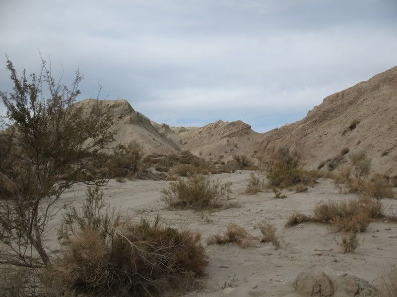
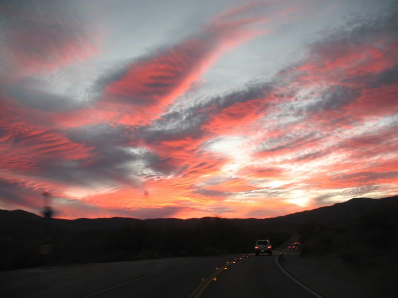
Anza-Borrego Rain Run (Black Canyon & Lower Coyote Canyon) - January 2008

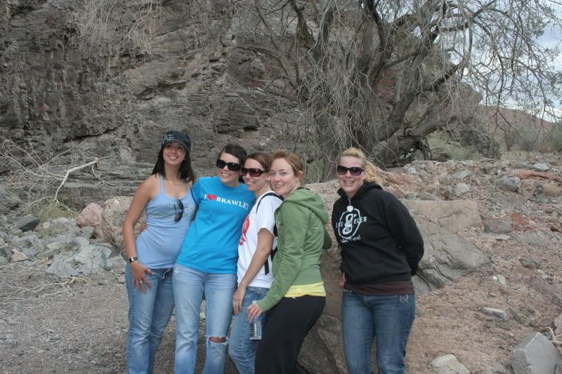
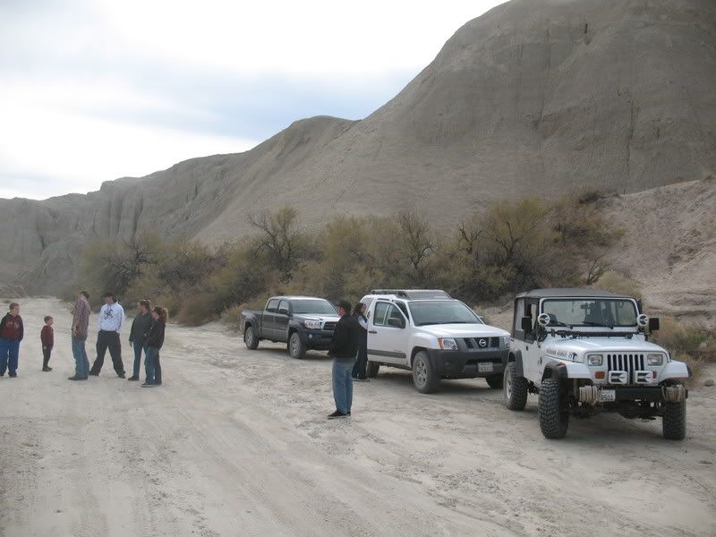
Well, we got up around 11AM after getting home from LA a little after 4AM and decided it would make for a fun adventure to head out into the desert in the rain. I called my sister to let her know where'd we be if anything happened since they have a 4X4 Silverado. Cool thing is, they ended up joining us. On the way out just passed Ramona, we turned up Magnolia Ave and up Black Mountain Road, along Santa Ysabel Creek.

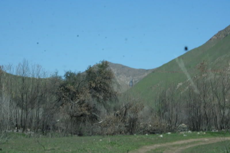
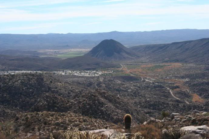
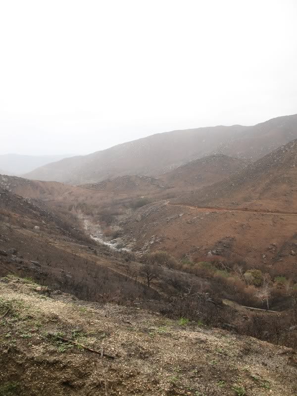
Looking across from Black Mountain Road to Santa Ysabel Truck Trail.
Image

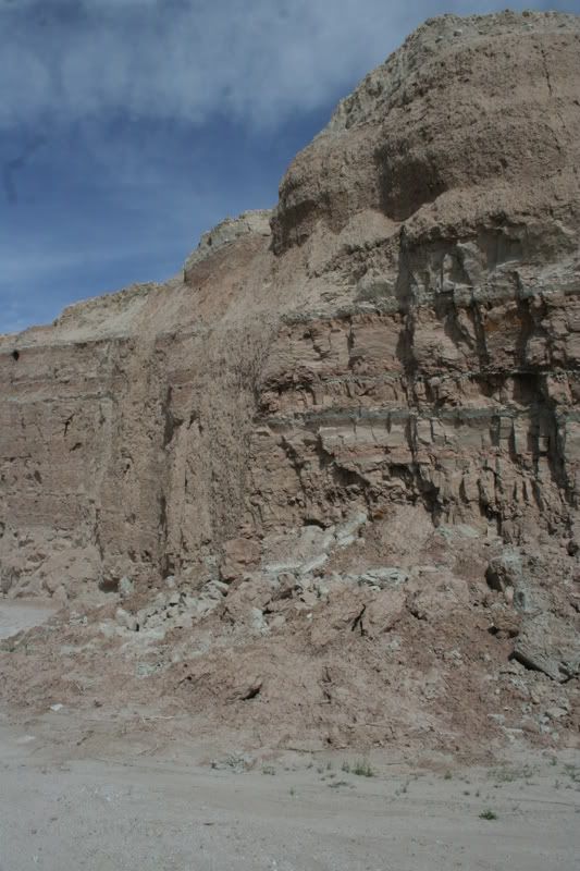
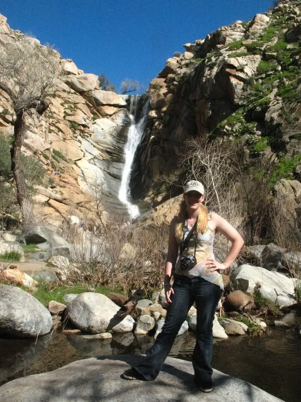
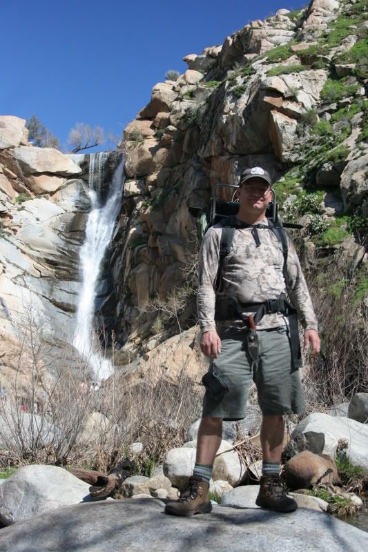
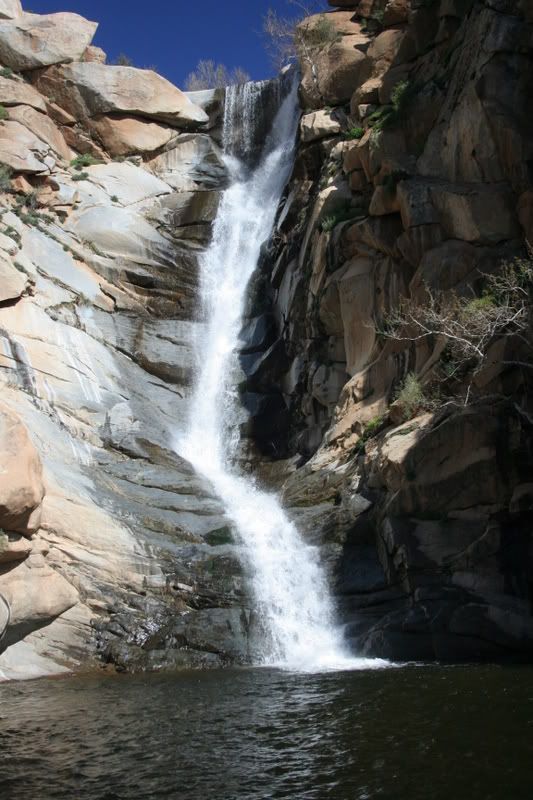
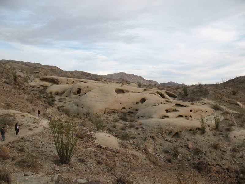
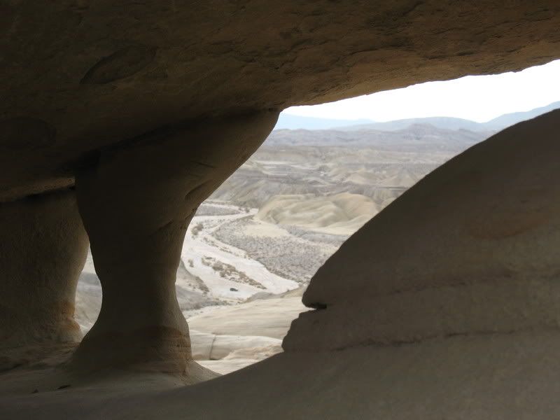
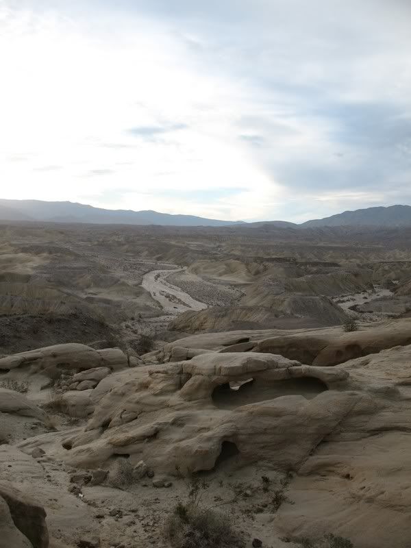
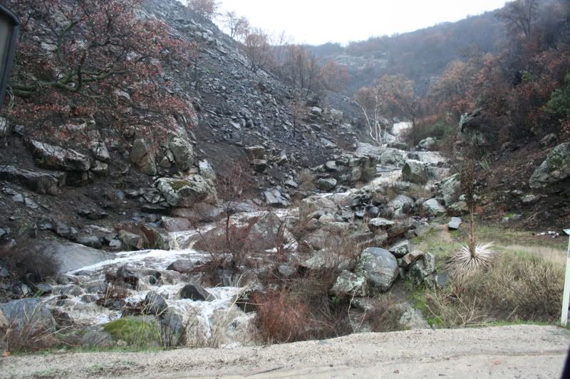
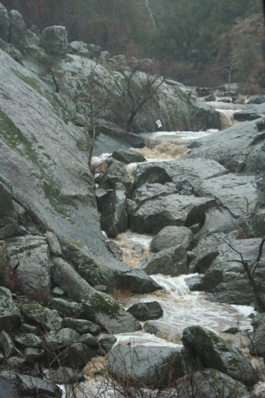
In Black Canyon, water amply illustrates its mindless yet artistic ability to sculpt stone. Every once in a great while, a gush of sediment-laden storm runoff tears through the canyon bottom, carving and polishing the bedrock slabs, drilling potholes ever deeper, toppling trees, and pushing rounded boulders downstream.
Image

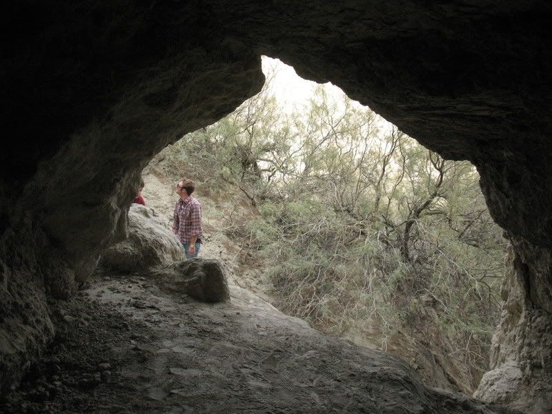
Near the junction of Black Canyon Road and Santa Ysabel Truck Trail is an old campground that closed over 30 years ago. I remember seeing an old overgrown road heading out somewhere in this area. One of these days I'll have to check it out.
Image

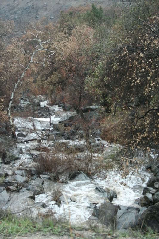
In a normal spring season the stream of water in Black Canyon is often fairly placid: it happily splashes over small waterfalls, pauses in pools, slides along inclined slabs, and finds hidden passages beneath immense boulders.
Image

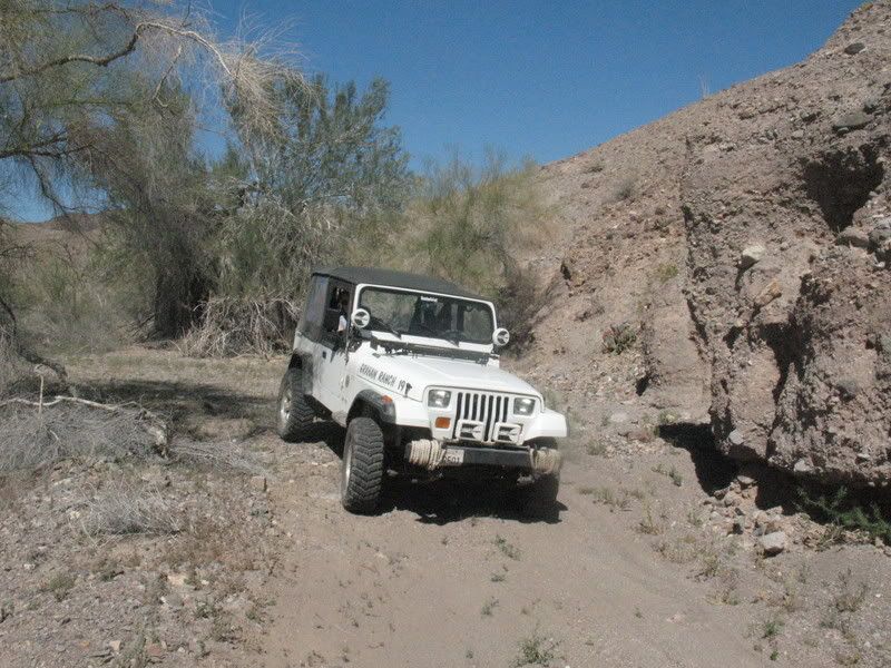
Black Mountain Road.
Image

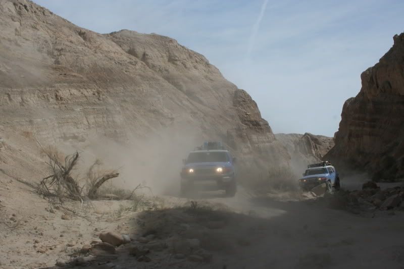
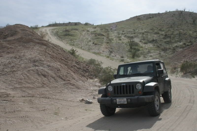
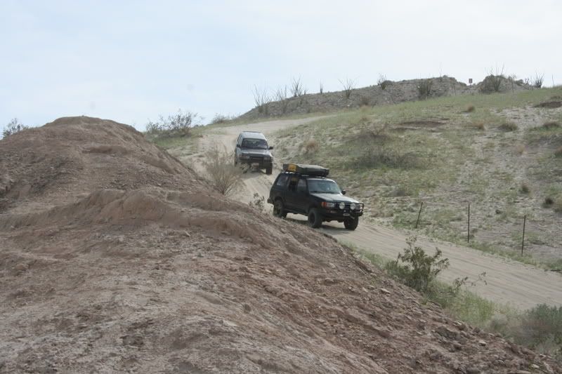
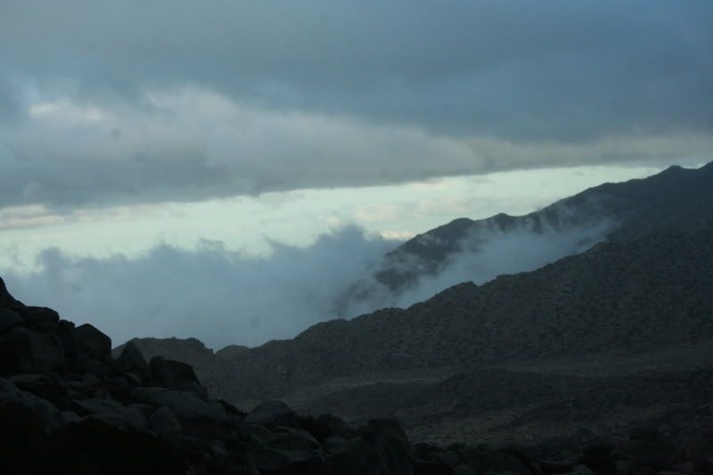
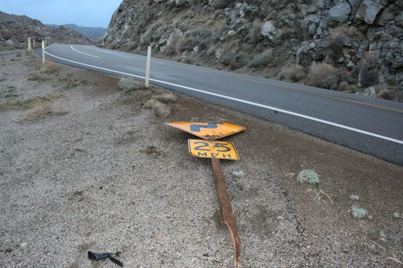
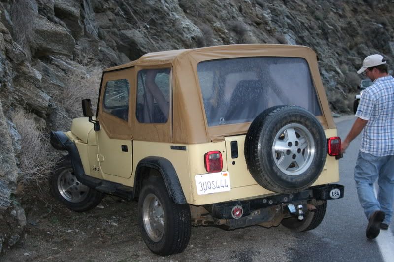
Not finding any snow towards the top, we headed on down to Anza Borrego. Coming down the grade I noticed another jeep in front of me that was swerving a bit and moving just a little too fast. Next thing I see, it crashes into a sign, nearly plummets down the cliff side, spins out across the road and smashes into the hillside!
Image

Image

Image

Image

Image

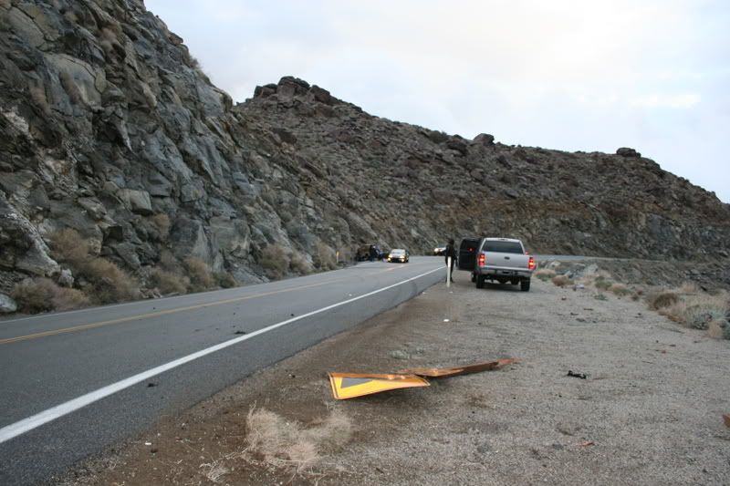
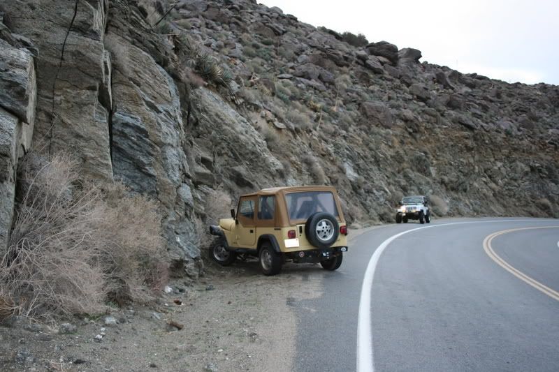
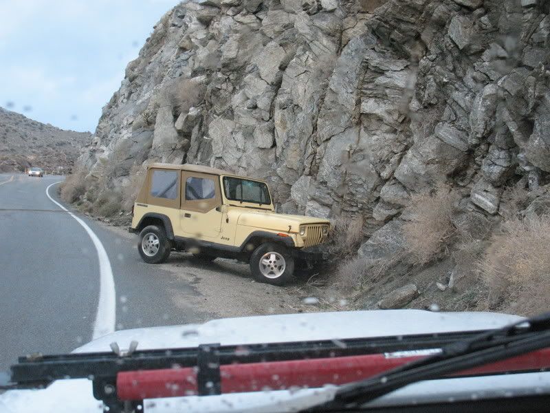
It didn't seem like the gal was even wearing her seatbelt. If she had gone off the edge, that would've been it. The two dogs inside were ok but she was bloodied up a bit. Some other folks drove up in a car who turned out to be her neighbors. They called the tow truck and helped the girl and her dogs. We continued down to Coyote Canyon.
Image

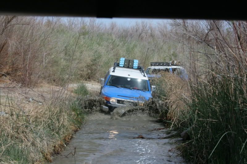
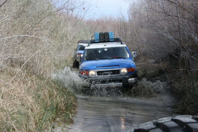
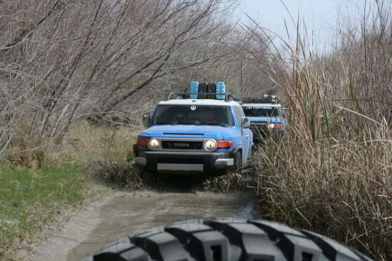
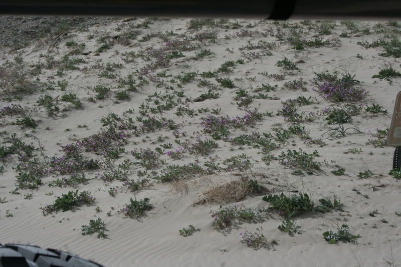
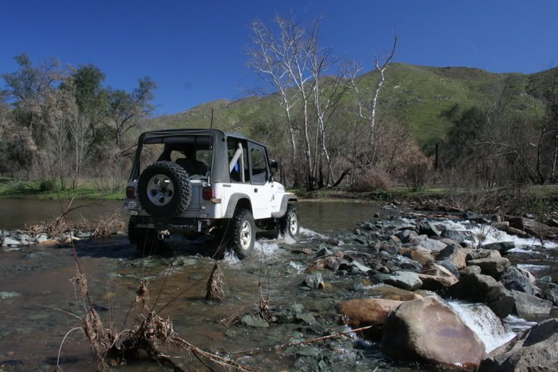
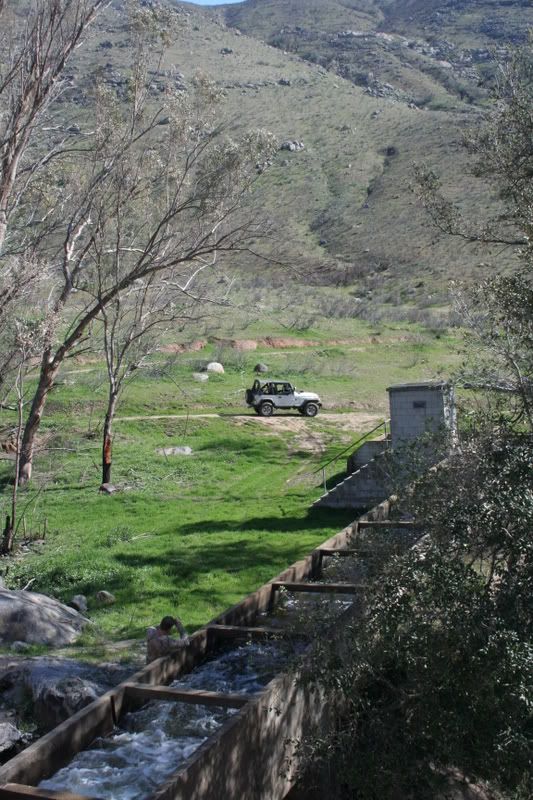
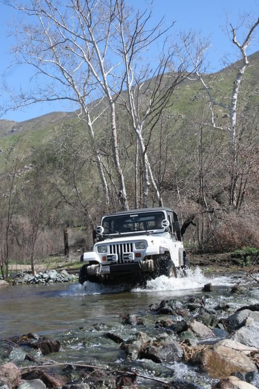
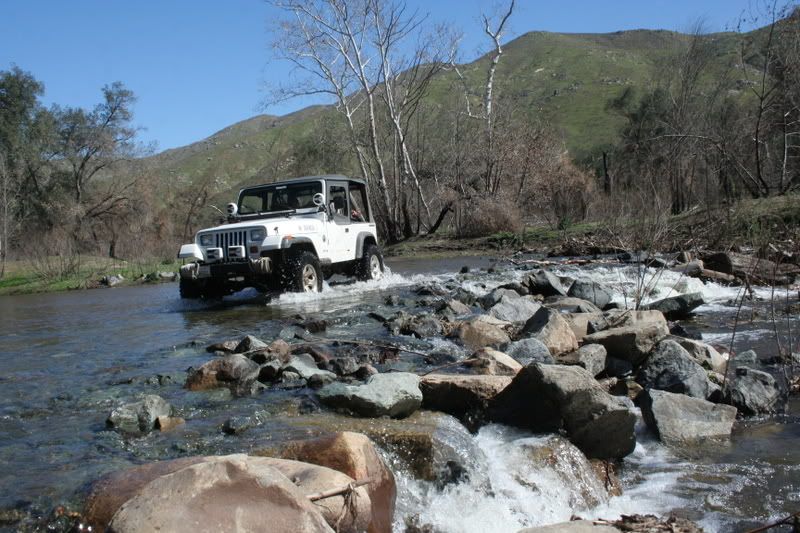
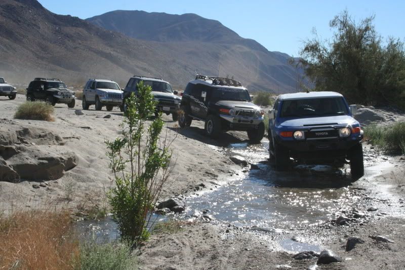
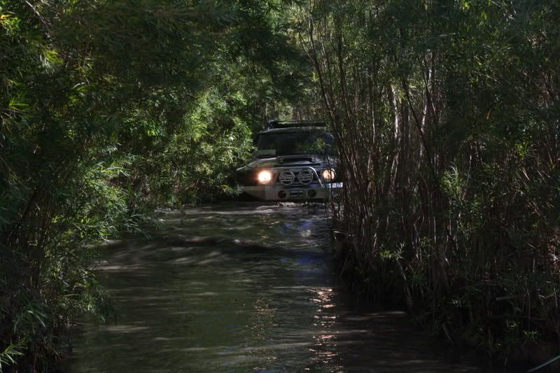
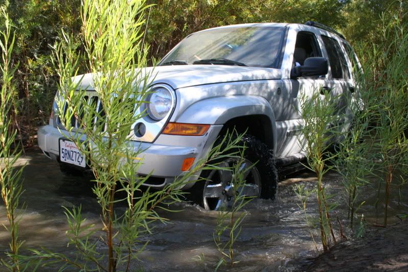
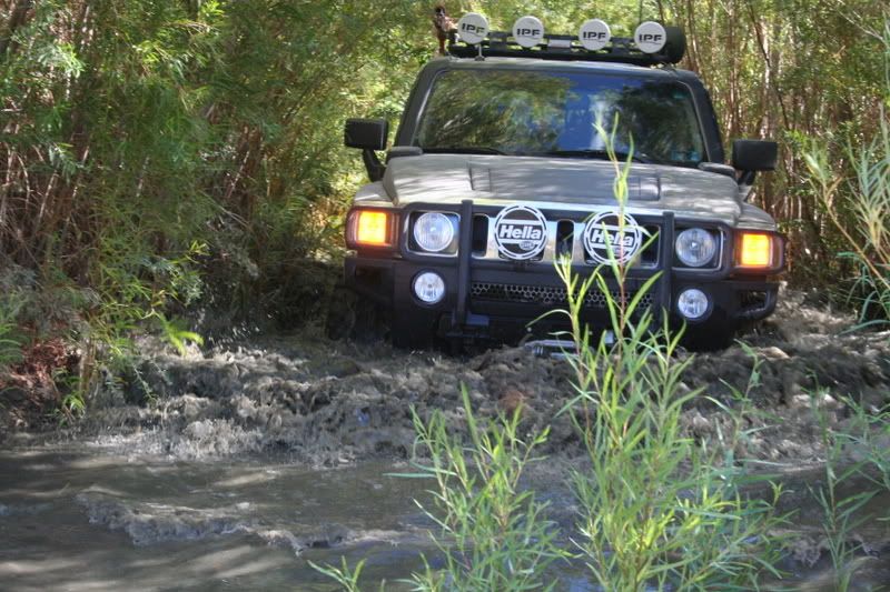
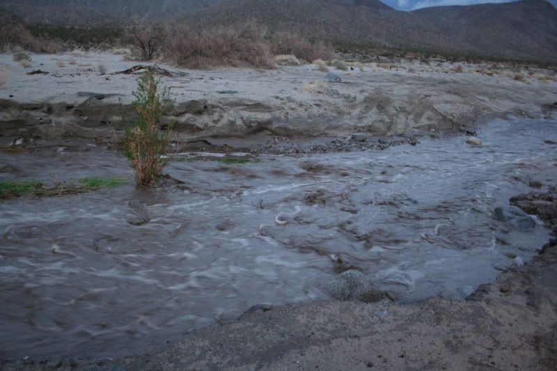
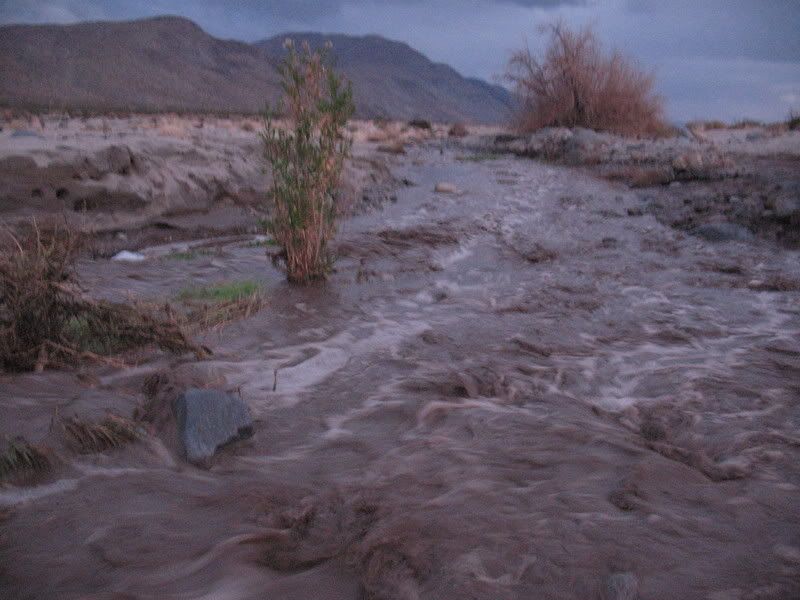
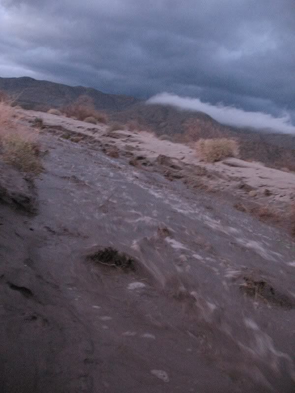
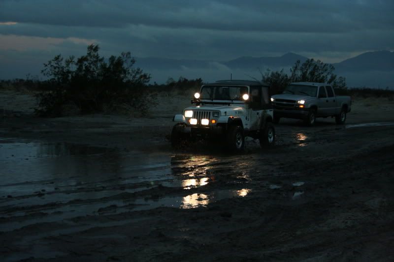
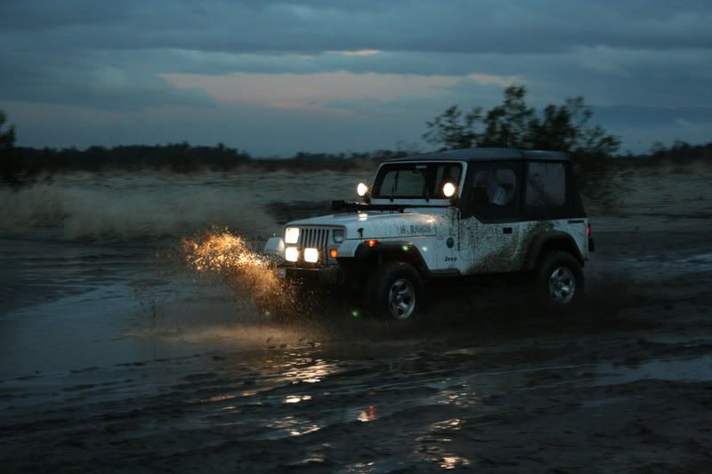
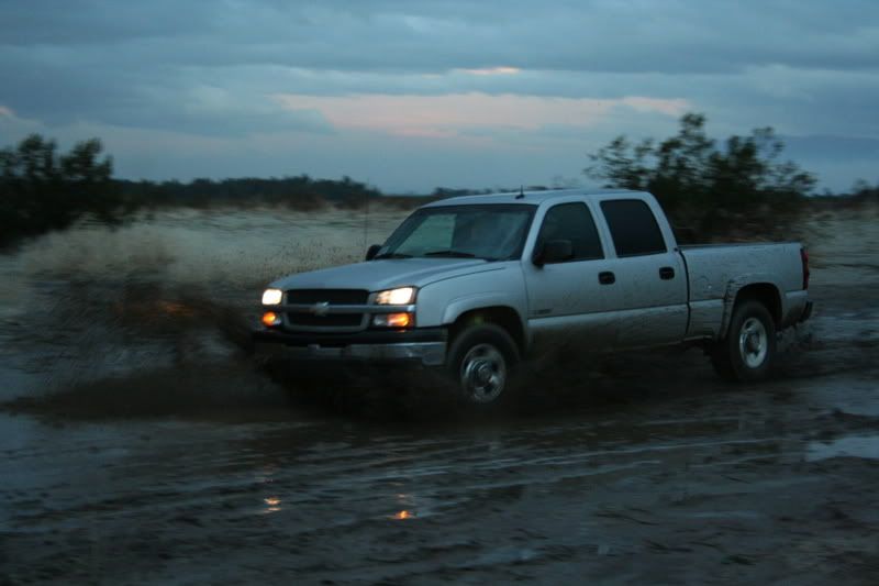
Its a rare sight to see so much water flowing through Coyote Canyon Creek.
Image

Image

Image

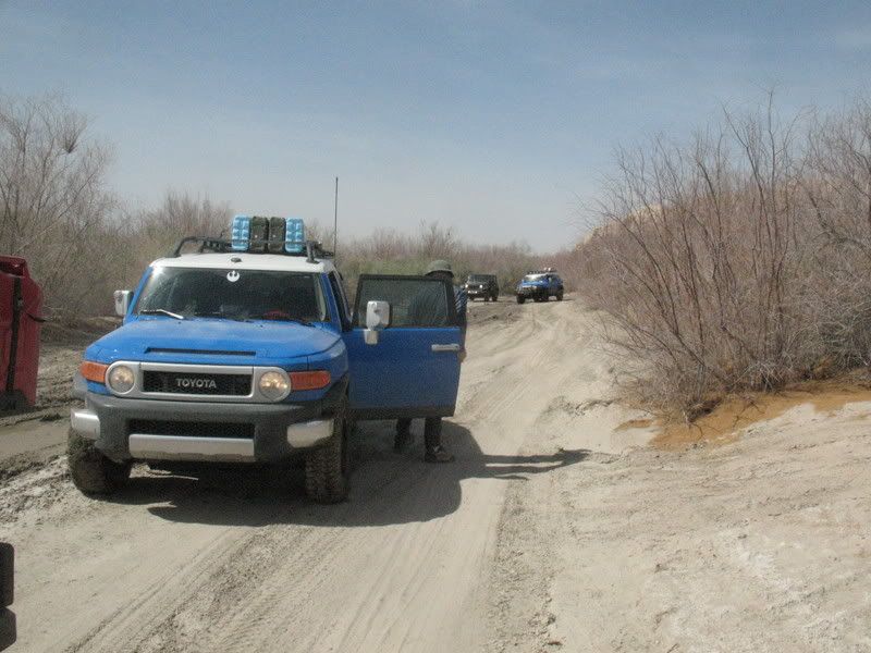
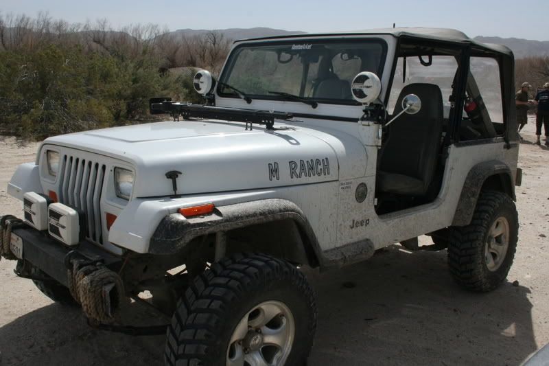
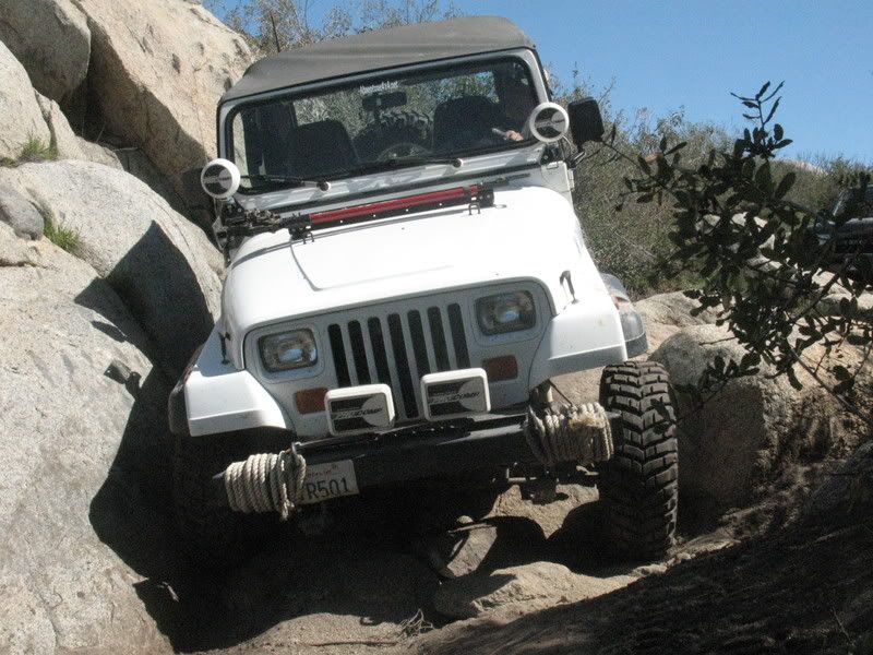
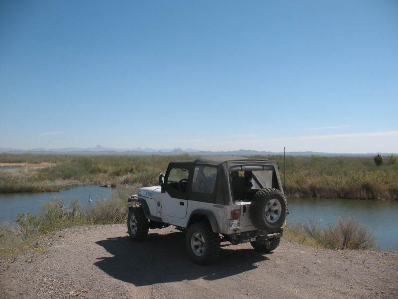
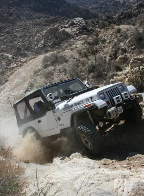
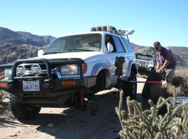
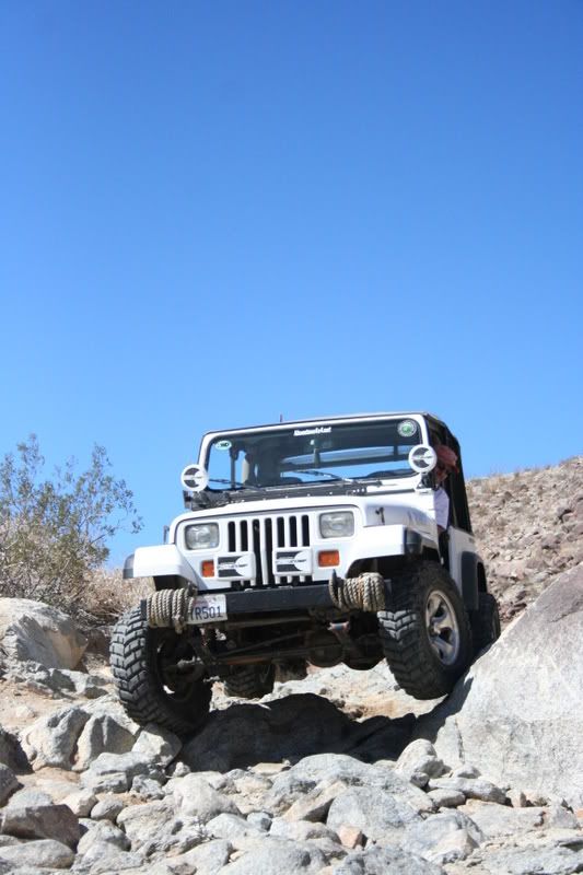
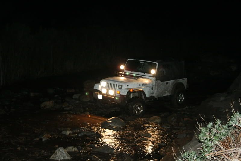
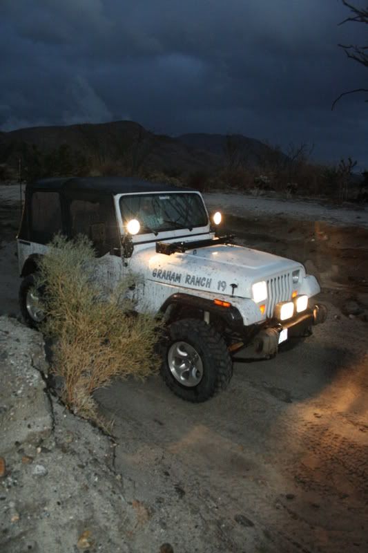
Yes, I know I had a headlight out...
Image

Image

Image

Image

Image

Image

Image

Image

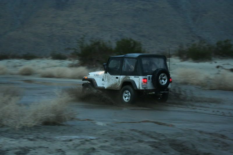
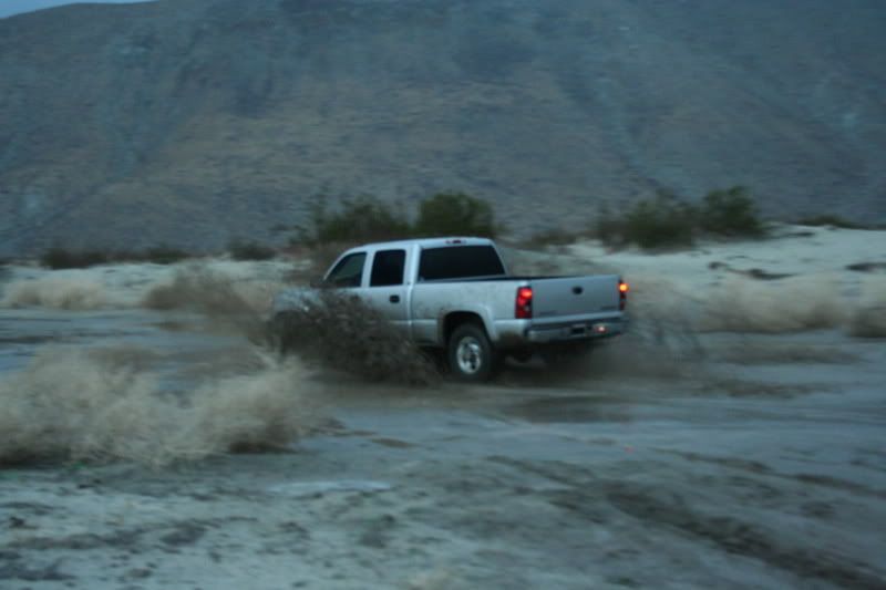
We ended up turning around just before the third water crossing. With all the rain I didn't want to risk getting their truck stuck. On the way home we stopped in Julian for dinner. It was a great day spent with family out in the back country.
-John Graham
1989 YJ & 2000 TJ

View all my trip reports here at my blog: GrahamCrackers

User avatar
BorregoWrangler
Posts: 1920
Joined: Wed May 07, 2008 6:53 pm
Location: San Diego, CA (El Cajon)
Contact:

Re: Past Trip Reports

Post by BorregoWrangler » Thu Aug 16, 2012 7:43 pm

Anza Borrego: Arroyo Tapiado Mud Caves - January 2008

I recently took some friends on out to Anza Borrego who have never been there before to explore the mud and wind caves. The Arroyo Tapiado Mud Caves are one of the most fascinating points of interest in the Anza-Borrego Desert State Park. Arroyo Tapiado, translated from Spanish, means “walled wash.” The Mud Caves are found along the walls of this wash canyon. One of the most extensive mud cave systems in the world, they contain approximately 22 known caves and 9 slot canyons.

Image

From Canyon Sin Nombre and Vallecito Wash Trail we make our way to Arroyo Tapiado Canyon.
Image

Now where are those caves again?
Image

The caves are not always obvious. You may need to do a little searching and exploring to find hidden entrances and caves that are off the beaten track. Entrance into the dark underworld...
Image

The Mud Caves are formed by fluvial erosion caused during periods of heavy rainfall. When this infrequent rainfall occurs, it cuts channels into the mud hills that are commonly found in the Pseudokarst topography of this arid region. The channels cause erosion and form canyons with unstable and undercut walls. As the channels deepen, the walls cave in. Because of the cohesive consistency of the mud in this particular area and its ability to swell to several times its original dry volume, it adheres to itself and to the canyon walls, creating natural bridges and, sometimes caves, as it dries.
Image

Safety Tips:
Always use caution when exploring caves. You will need to carry several light sources, and water, and it is recommended that you wear a hardhat or helmet. Never enter the caves if it is raining, has rained recently or if rain is expected. Take a caving partner with you when you explore the caves or let someone know exactly where you are going to be and when you will return. Use the buddy system! Do not walk on top of the caves, along the ridges or in areas where the ground may cave in. These hills are made of mud and can be very unstable.
Image

After exploring a few caves we descended Diablo Dropoff to Fish Creek.
Image

This was a 2WD truck...
Image

...that needed a tug to get through these rocks.
Image

Lunch in Fish Creek, then a hike up to the wind caves.
Image

The sandstone wind caves and arches are created from erosion caused by wind. You can explore the caves by hiking approximately 1 mile from the Wind Cave Trailhead (2 miles round trip). Trail head is located in Fish Creek Wash just past Split Mountain.
Image

Image

Image

Image

All to soon the day came to a close and we eventually made our way home. Another good day spend in the back country.
Image
-John Graham
1989 YJ & 2000 TJ

View all my trip reports here at my blog: GrahamCrackers

User avatar
BorregoWrangler
Posts: 1920
Joined: Wed May 07, 2008 6:53 pm
Location: San Diego, CA (El Cajon)
Contact:

Re: Past Trip Reports

Post by BorregoWrangler » Sun Aug 19, 2012 7:55 pm

Jacumba Mountains - December 2007

Well, I cruised on out to Jacumba today with a group to run several trails in the area but only ended up finishing one since trail repairs took up so much time. All the rigs had issues on this one:

Wrangler: cracked windshield
Liberty: snapped a-arm
Land Cruiser: crunched exhaust
4Runner: ripped sidewall

North of Interstate 8, Table Mountain offers views of the In-Ko-Pah Mountains and Jacumba Mountain. Table Mountain provides numerous opportunities for recreation. The Table Mountain area has been designated an Area of Critical Environmental Concern (ACEC). Anza-Borrego Desert State Park and private lands border public lands on Table Mountain, please respect all posted signs.

Image

Image

Image

Image

Image

Image

Image

Image

Image

Image

Image

Image

Image

Image

Image

Image

Image
-John Graham
1989 YJ & 2000 TJ

View all my trip reports here at my blog: GrahamCrackers

User avatar
BorregoWrangler
Posts: 1920
Joined: Wed May 07, 2008 6:53 pm
Location: San Diego, CA (El Cajon)
Contact:

Re: Past Trip Reports

Post by BorregoWrangler » Sun Aug 19, 2012 7:59 pm

Anza Borrego: Horse Canyon - December 2007 (Video)

Reid and I took a trip up to the small high desert town of Anza to run Horse Canyon. We discovered Horse Canyon after a group of us had a disappointing run to Upper Coyote Canyon last May, and have been wanting to get back there ever since.

Horse Canyon has some nice obstacles for those wanting a challenge and bypasses for those who don't. Some of the challenging spots from last May would have been impossible this time due to erosion from rain. There are also water crossings, however, this time out they were not too wet. Reid and I ventured up into the canyon as far as we could after passing a couple of very tight squeezes.

We met a couple of other rigs (an older CJ and a new 4Runner) who followed us out. They had to turnaround at one obstacle, that did not offer a bypass, due to the stock 4Runner's clearance. The 4Runner mangled both running boards on previous obstacles.

On the way out we took a side wash which, I believe, is named White Wash. This was a very rocky wash that we also took as far as we could. At the end is a pretty neat (dry) rock waterfall. We didn't take as much footage as we should have. There were only two rigs so there was no excuse. To top it off, I forgot the memory card for my camera. Anyway, here is what we did get. The (video) shot of me going through the second "squeeze" is cutoff because the battery died.

http://www.youtube.com/watch?v=e3AiTx0xNi8
-John Graham
1989 YJ & 2000 TJ

View all my trip reports here at my blog: GrahamCrackers

User avatar
BorregoWrangler
Posts: 1920
Joined: Wed May 07, 2008 6:53 pm
Location: San Diego, CA (El Cajon)
Contact:

Re: Past Trip Reports

Post by BorregoWrangler » Wed Aug 22, 2012 12:39 am

Corral Canyon OHV Area - December 2007 (Video)

The Corral Canyon OHV Area is located near the town of Pine Valley. Within this area, the Corral Canyon and Bobcat Meadows campgrounds jointly give OHV enthusiasts access to over 51 miles of system OHV trails. These trails which run across the Cleveland National Forest Lands, offer a heady mix of scenic beauty and test of skills.

http://www.youtube.com/watch?v=TxGzyrC_PZU
-John Graham
1989 YJ & 2000 TJ

View all my trip reports here at my blog: GrahamCrackers

User avatar
BorregoWrangler
Posts: 1920
Joined: Wed May 07, 2008 6:53 pm
Location: San Diego, CA (El Cajon)
Contact:

Re: Past Trip Reports

Post by BorregoWrangler » Wed Aug 22, 2012 5:45 am

BorregoFest - October 2007

We spent the weekend in the Anza-Borrego Desert State Park at Palm Canyon campground and explored various trails in the area, including Coyote Canyon, the Borrego Bandlands, historic Truckhaven Trail, Calicite Mine, Fish Creek/Split Mountain, Sandstone Canyon, and Canyon Sin Nombre. Can't wait to head beak!

http://www.youtube.com/watch?v=pnP7t1Nho7o

Image

Image

Image

Fonts Point Overlook
Image

Coyote Canyon Trail
Image

Image

Third Crossing - Coyote Canyon Trail
Image

Image

Image

Fish Creek/Split Mountain
Image

Sandstone Canyon
Image

Image

Image

Image

Image
-John Graham
1989 YJ & 2000 TJ

View all my trip reports here at my blog: GrahamCrackers

Post Reply

Return to “TRAIL RUN REPORTS”

Who is online

Users browsing this forum: No registered users and 2 guests